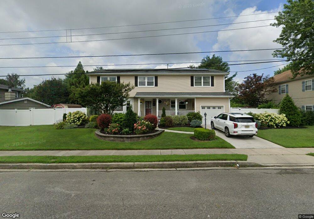
2209 Grove Rd Northfield, NJ 08225
Estimated Value: $547,000 - $578,000
--
Bed
--
Bath
2,532
Sq Ft
$223/Sq Ft
Est. Value
About This Home
This home is located at 2209 Grove Rd, Northfield, NJ 08225 and is currently estimated at $563,972, approximately $222 per square foot. 2209 Grove Rd is a home located in Atlantic County with nearby schools including Northfield Community Elementary School, Northfield Community Middle School, and Mainland Regional High School.
Ownership History
Date
Name
Owned For
Owner Type
Purchase Details
Closed on
Dec 16, 2002
Sold by
Brindley Jacqueline
Bought by
Santori John and Santori Jennifer
Current Estimated Value
Home Financials for this Owner
Home Financials are based on the most recent Mortgage that was taken out on this home.
Original Mortgage
$152,000
Outstanding Balance
$64,915
Interest Rate
6.16%
Mortgage Type
Purchase Money Mortgage
Estimated Equity
$499,057
Create a Home Valuation Report for This Property
The Home Valuation Report is an in-depth analysis detailing your home's value as well as a comparison with similar homes in the area
Home Values in the Area
Average Home Value in this Area
Purchase History
| Date | Buyer | Sale Price | Title Company |
|---|---|---|---|
| Santori John | $190,000 | -- | |
| Santori John | $190,000 | Commonwealth Land Title Ins |
Source: Public Records
Mortgage History
| Date | Status | Borrower | Loan Amount |
|---|---|---|---|
| Open | Santori John | $152,000 | |
| Closed | Santori John | $152,000 |
Source: Public Records
Tax History Compared to Growth
Tax History
| Year | Tax Paid | Tax Assessment Tax Assessment Total Assessment is a certain percentage of the fair market value that is determined by local assessors to be the total taxable value of land and additions on the property. | Land | Improvement |
|---|---|---|---|---|
| 2025 | $10,395 | $289,400 | $81,600 | $207,800 |
| 2024 | $10,395 | $289,400 | $81,600 | $207,800 |
| 2023 | $10,106 | $289,400 | $81,600 | $207,800 |
| 2022 | $10,106 | $289,400 | $81,600 | $207,800 |
| 2021 | $9,999 | $289,400 | $81,600 | $207,800 |
| 2020 | $10,036 | $289,400 | $81,600 | $207,800 |
| 2019 | $9,866 | $289,400 | $81,600 | $207,800 |
| 2018 | $9,689 | $289,400 | $81,600 | $207,800 |
| 2017 | $9,368 | $289,400 | $81,600 | $207,800 |
| 2016 | $8,995 | $289,400 | $81,600 | $207,800 |
| 2015 | $8,870 | $289,400 | $81,600 | $207,800 |
| 2014 | $8,387 | $289,400 | $81,600 | $207,800 |
Source: Public Records
Map
Nearby Homes
- 11 Dani Dr
- 1119 Nugent Terrace
- 2 Jenny Lynn Dr
- 1203 W Mill Rd
- 2221 Burroughs Ave
- 2275 Burroughs Ave
- 608 Revere Ave
- 2277 Burroughs Ave
- 1 Mill Ln
- 5 Mill Ln
- 14 Wexford Ln
- 600 Hollywood Dr
- 22 Wexford Ln
- 2320 Shepherd Dr
- 622 Central Ave
- 550 Central Ave Unit B1
- 550 Central Ave Unit G-16 Constitution Ct
- 550 Central Ave Unit E-14
- 550 Central Ave Unit I-7
- 309 Clark Place