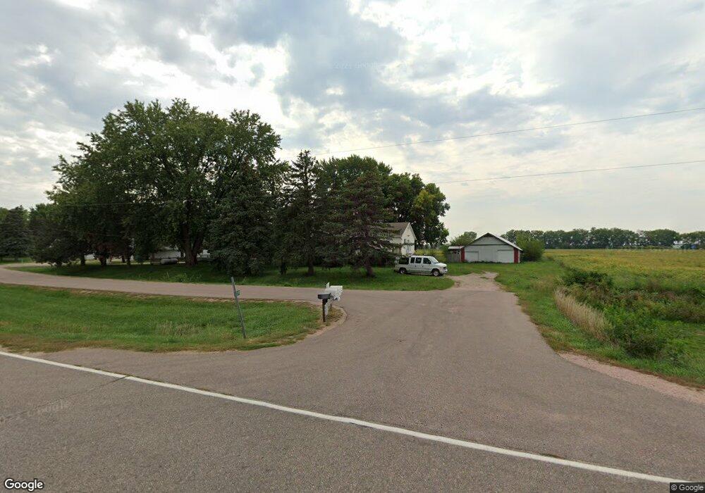
2209 Port Neal Rd Sergeant Bluff, IA 51054
Estimated Value: $151,772 - $318,000
3
Beds
3
Baths
920
Sq Ft
$226/Sq Ft
Est. Value
About This Home
This home is located at 2209 Port Neal Rd, Sergeant Bluff, IA 51054 and is currently estimated at $208,193, approximately $226 per square foot. 2209 Port Neal Rd is a home located in Woodbury County with nearby schools including Sergeant Bluff-Luton Primary School, Sergeant Bluff-Luton Elementary School, and Sergeant Bluff-Luton Middle School.
Ownership History
Date
Name
Owned For
Owner Type
Purchase Details
Closed on
Jun 8, 2017
Sold by
Christianson Harold A and Christianson Doris E
Bought by
Christianson Terry Michael and Christianson Michelle Marie
Current Estimated Value
Purchase Details
Closed on
Mar 1, 2016
Sold by
Walker S Of Salix Inc
Bought by
Walker S Of Salix Inc
Create a Home Valuation Report for This Property
The Home Valuation Report is an in-depth analysis detailing your home's value as well as a comparison with similar homes in the area
Home Values in the Area
Average Home Value in this Area
Purchase History
| Date | Buyer | Sale Price | Title Company |
|---|---|---|---|
| Christianson Terry Michael | $100,000 | None Available | |
| Walker S Of Salix Inc | -- | None Available |
Source: Public Records
Tax History Compared to Growth
Tax History
| Year | Tax Paid | Tax Assessment Tax Assessment Total Assessment is a certain percentage of the fair market value that is determined by local assessors to be the total taxable value of land and additions on the property. | Land | Improvement |
|---|---|---|---|---|
| 2025 | $1,468 | $110,850 | $16,420 | $94,430 |
| 2024 | $1,468 | $108,680 | $16,420 | $92,260 |
| 2023 | $1,274 | $108,680 | $16,420 | $92,260 |
| 2022 | $1,262 | $81,390 | $16,420 | $64,970 |
| 2021 | $1,262 | $81,390 | $16,420 | $64,970 |
| 2020 | $1,174 | $74,860 | $17,570 | $57,290 |
| 2019 | $1,122 | $74,860 | $17,570 | $57,290 |
| 2018 | $1,092 | $70,870 | $17,570 | $53,300 |
| 2017 | $1,092 | $70,870 | $17,570 | $53,300 |
| 2016 | $1,208 | $70,870 | $0 | $0 |
| 2015 | $1,224 | $66,230 | $16,420 | $49,810 |
| 2014 | $1,155 | $61,250 | $16,420 | $44,830 |
Source: Public Records
Map
Nearby Homes
- Plan 5 at Settler's Point - Settler's Point Townhomes
- Plan 4+ at Settler's Point - Settler's Point Townhomes
- Plan 2 at Settler's Point - Settler's Point Townhomes
- Plan 1 at Settler's Point - Settler's Point Townhomes
- Family 1 Plan at Settler's Point
- Family 2 Plan at Settler's Point
- 803 Coffie Farm Rd
- 517 Zach Rd
- 613 Jamie Ln
- 611 Jamie Ln
- 510 Zach Rd
- 508 Zach Rd
- 718 Jax Ct
- 716 Jax Ct
- 723 Jax Ct
- 722 Jax Ct
- 720 Jax Ct
- 721 Jax Ct
- 608 Jamie Ln
- 409 Zach Rd
- 2215 Port Neal Rd
- 2200 Port Neal Rd
- 2219 Port Neal Rd
- 422 Kingsberry Ct
- 420 Kingsberry Ct
- 418 Kingsberry Ct
- 424 Kingsberry Ct
- 416 Kingsberry Ct
- 414 Kingsberry Ct
- 412 Kingsberry Ct
- 426 Kingsberry Ct
- 722 Winfield Cir
- 421 Kingsberry Ct
- 425 Kingsberry Ct
- 419 Kingsberry Ct
- 423 Kingsberry Ct
- 417 Kingsberry Ct
- 720 Winfield Cir
- 415 Kingsberry Ct
- 413 Kingsberry Ct