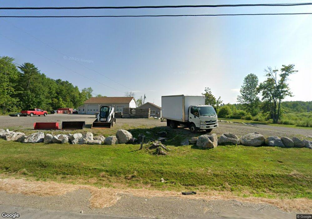
2209 Route 2 Hermon, ME 04401
Estimated Value: $490,000 - $495,324
4
Beds
2
Baths
864
Sq Ft
$570/Sq Ft
Est. Value
About This Home
This home is located at 2209 Route 2, Hermon, ME 04401 and is currently estimated at $492,441, approximately $569 per square foot. 2209 Route 2 is a home located in Penobscot County with nearby schools including Patricia A Duran School, Hermon Middle School, and Hermon High School.
Ownership History
Date
Name
Owned For
Owner Type
Purchase Details
Closed on
Nov 2, 2016
Sold by
Cushing Family Corp
Bought by
Gallant James D and Gallant Sara
Current Estimated Value
Home Financials for this Owner
Home Financials are based on the most recent Mortgage that was taken out on this home.
Original Mortgage
$182,500
Outstanding Balance
$146,401
Interest Rate
3.48%
Mortgage Type
New Conventional
Estimated Equity
$346,040
Purchase Details
Closed on
Mar 11, 2009
Sold by
Paul Bunyan Campground
Bought by
Cushing Family Corp
Create a Home Valuation Report for This Property
The Home Valuation Report is an in-depth analysis detailing your home's value as well as a comparison with similar homes in the area
Home Values in the Area
Average Home Value in this Area
Purchase History
| Date | Buyer | Sale Price | Title Company |
|---|---|---|---|
| Gallant James D | -- | -- | |
| Cushing Family Corp | -- | -- |
Source: Public Records
Mortgage History
| Date | Status | Borrower | Loan Amount |
|---|---|---|---|
| Open | Gallant James D | $182,500 |
Source: Public Records
Tax History Compared to Growth
Tax History
| Year | Tax Paid | Tax Assessment Tax Assessment Total Assessment is a certain percentage of the fair market value that is determined by local assessors to be the total taxable value of land and additions on the property. | Land | Improvement |
|---|---|---|---|---|
| 2024 | $3,981 | $365,200 | $82,700 | $282,500 |
| 2023 | $3,791 | $322,600 | $128,900 | $193,700 |
| 2022 | $3,265 | $274,400 | $114,600 | $159,800 |
| 2021 | $3,209 | $267,600 | $110,900 | $156,700 |
| 2020 | $3,151 | $262,800 | $108,300 | $154,500 |
| 2019 | $2,890 | $241,000 | $105,700 | $135,300 |
| 2018 | $2,796 | $241,000 | $105,700 | $135,300 |
| 2017 | $3,198 | $262,100 | $112,600 | $149,500 |
| 2016 | $3,035 | $252,900 | $108,500 | $144,400 |
| 2015 | $2,951 | $245,900 | $104,300 | $141,600 |
| 2014 | $2,934 | $244,482 | $104,296 | $140,186 |
Source: Public Records
Map
Nearby Homes
- 287 Partridge Ln
- 273 Partridge Ln
- 283 Partridge Ln
- 204 Edenfield Dr
- 2425- U S 2
- 63 Cambridge Dr
- 522 North St
- 37 Hunter Dr
- 37 Hunter Dr Unit 37
- Lot11 Boxwood
- 22 Memory Ln
- 148 Mountain View Dr
- 41 Wendy Acres Dr
- 91 Wendy Acres Dr
- 567 Deerfield Dr
- 555 Westwood Dr
- 455 Billings Rd
- Lot 81 Fuller Rd
- 14 Hermon Pond Rd
- 202 Orchard Dr