2209 State Hwy Eastham, MA 02642
Estimated Value: $444,000 - $584,000
3
Beds
2
Baths
960
Sq Ft
$549/Sq Ft
Est. Value
About This Home
This home is located at 2209 State Hwy, Eastham, MA 02642 and is currently estimated at $526,750, approximately $548 per square foot. 2209 State Hwy is a home located in Barnstable County with nearby schools including Eastham Elementary School, Nauset Regional Middle School, and Nauset Regional High School.
Ownership History
Date
Name
Owned For
Owner Type
Purchase Details
Closed on
Jun 11, 1993
Sold by
Fhlmc
Bought by
Denagy Charles L and Denagy Wanda M
Current Estimated Value
Home Financials for this Owner
Home Financials are based on the most recent Mortgage that was taken out on this home.
Original Mortgage
$39,000
Interest Rate
7.41%
Mortgage Type
Purchase Money Mortgage
Create a Home Valuation Report for This Property
The Home Valuation Report is an in-depth analysis detailing your home's value as well as a comparison with similar homes in the area
Home Values in the Area
Average Home Value in this Area
Purchase History
| Date | Buyer | Sale Price | Title Company |
|---|---|---|---|
| Denagy Charles L | $52,000 | -- |
Source: Public Records
Mortgage History
| Date | Status | Borrower | Loan Amount |
|---|---|---|---|
| Closed | Denagy Charles L | $39,000 |
Source: Public Records
Tax History Compared to Growth
Tax History
| Year | Tax Paid | Tax Assessment Tax Assessment Total Assessment is a certain percentage of the fair market value that is determined by local assessors to be the total taxable value of land and additions on the property. | Land | Improvement |
|---|---|---|---|---|
| 2025 | $3,459 | $448,700 | $0 | $448,700 |
| 2024 | $2,543 | $362,700 | $0 | $362,700 |
| 2023 | $2,326 | $321,300 | $0 | $321,300 |
| 2022 | $2,149 | $250,500 | $0 | $250,500 |
| 2021 | $2,108 | $229,600 | $0 | $229,600 |
| 2020 | $1,984 | $227,500 | $0 | $227,500 |
| 2019 | $1,823 | $221,000 | $0 | $221,000 |
| 2018 | $1,819 | $217,800 | $0 | $217,800 |
| 2017 | $1,687 | $213,500 | $0 | $213,500 |
| 2016 | $1,513 | $203,400 | $0 | $203,400 |
| 2015 | $1,404 | $197,700 | $0 | $197,700 |
Source: Public Records
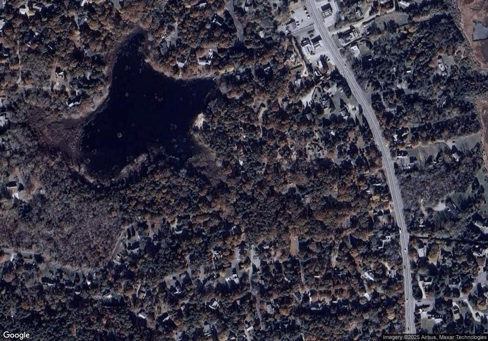
Map
Nearby Homes
- 1975 State Hwy Unit 3
- 1975 State Hwy Unit 5
- 1875 State Hwy
- 180 Country Ln
- 645 Samoset Rd
- 330 Hay Rd
- 4 Wood Duck Ln
- 60 Smith Heights Way
- 1061 State Hwy Unit 4
- 30 Cove Rd
- 20 Redberry Ln
- 993 Intonti Way
- 995 Intonti Way
- 25 Twin Rocks Dr
- 20 White Pines Dr
- 10 Surrey Dr
- 785 State Hwy Unit 9
- 70 Deerfield Ln
- 10 Alston Ct
- 20 Kittiwake Ln
- 2207 State Hwy
- 2207 State Hwy Unit 11
- 2213 State Hwy
- 2215 State Hwy
- 2215 State Hwy Unit 15
- 2211 State Hwy
- 2201 State Hwy
- 2197 State Hwy
- 2217 State Hwy
- 2223 State Hwy
- 2197 State Hwy Unit U2
- 2217 State Hwy Unit U5
- 2201 State Hwy Unit 7
- 2197 State Hwy Unit 6
- 2201 State Hwy Unit 7-H
- 100 Smith Farm Rd
- 70 Van Dale Ave
- 60 Van Dale Ave
- 2135 State Hwy
- 2219 State Hwy