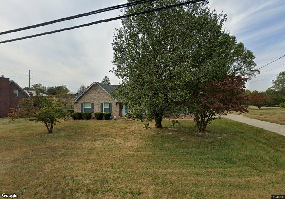
221 Cammi Dr Shepherdsville, KY 40165
Estimated Value: $290,963 - $386,000
--
Bed
--
Bath
1,572
Sq Ft
$218/Sq Ft
Est. Value
About This Home
This home is located at 221 Cammi Dr, Shepherdsville, KY 40165 and is currently estimated at $342,991, approximately $218 per square foot. 221 Cammi Dr is a home located in Bullitt County with nearby schools including Pleasant Grove Elementary School, Eastside Middle School, and Bullitt East High School.
Ownership History
Date
Name
Owned For
Owner Type
Purchase Details
Closed on
Jul 7, 2021
Sold by
Korn Leisa K
Bought by
Browner Lisa G and Browner John
Current Estimated Value
Home Financials for this Owner
Home Financials are based on the most recent Mortgage that was taken out on this home.
Original Mortgage
$184,000
Outstanding Balance
$166,951
Interest Rate
2.9%
Mortgage Type
New Conventional
Estimated Equity
$176,040
Purchase Details
Closed on
Feb 16, 2018
Sold by
Page Jackie A and Page Elva R
Bought by
Page Jackie A
Create a Home Valuation Report for This Property
The Home Valuation Report is an in-depth analysis detailing your home's value as well as a comparison with similar homes in the area
Home Values in the Area
Average Home Value in this Area
Purchase History
| Date | Buyer | Sale Price | Title Company |
|---|---|---|---|
| Browner Lisa G | $230,000 | Springdale Title | |
| Page Jackie A | -- | Kentucky Elderlaw Pllc |
Source: Public Records
Mortgage History
| Date | Status | Borrower | Loan Amount |
|---|---|---|---|
| Open | Browner Lisa G | $184,000 |
Source: Public Records
Tax History Compared to Growth
Tax History
| Year | Tax Paid | Tax Assessment Tax Assessment Total Assessment is a certain percentage of the fair market value that is determined by local assessors to be the total taxable value of land and additions on the property. | Land | Improvement |
|---|---|---|---|---|
| 2024 | $2,906 | $230,000 | $0 | $230,000 |
| 2023 | $2,888 | $230,000 | $0 | $230,000 |
| 2022 | $2,916 | $230,000 | $0 | $230,000 |
| 2021 | $2,241 | $175,842 | $0 | $0 |
| 2020 | $1,933 | $167,982 | $0 | $0 |
| 2019 | $1,897 | $167,982 | $0 | $0 |
| 2018 | $1,501 | $167,892 | $0 | $0 |
| 2017 | $1,479 | $167,892 | $0 | $0 |
| 2016 | $1,460 | $167,892 | $0 | $0 |
| 2015 | $1,390 | $130,992 | $0 | $0 |
| 2014 | $1,331 | $167,892 | $0 | $0 |
Source: Public Records
Map
Nearby Homes
- 275 Brian Dr
- 389 Fernwood Dr
- 190 Millstone Ct
- 1135 Mill Brook Cir
- 255 Millwood Ct
- Lot 35 E Miller Crossing
- 310 Christman Ln Unit B
- 5080 Highway 44 E
- 389 Williamsburg Dr
- 627 Wava Dr
- 234 Williamsburg Dr
- 966 Alpar Ln
- 569 Williamsburg Dr
- 150 E Laurel River Rd
- 150 E Laurel River Dr
- 239 Shady Pond Ln
- 163 Olde Colony Ct
- 182 Washington Commons Dr
- 103 W Laurel River Dr
- 6863 Highway 44 E