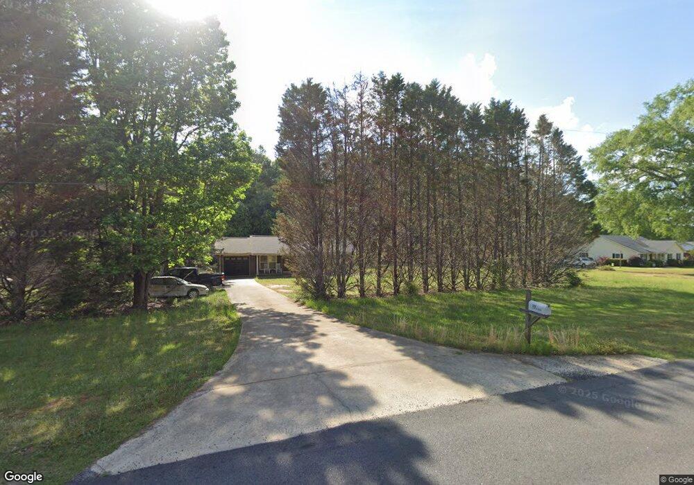
221 Carter Rd Griffin, GA 30224
Estimated Value: $228,906 - $283,000
3
Beds
1
Bath
1,275
Sq Ft
$194/Sq Ft
Est. Value
About This Home
This home is located at 221 Carter Rd, Griffin, GA 30224 and is currently estimated at $247,227, approximately $193 per square foot. 221 Carter Rd is a home located in Pike County with nearby schools including Pike County Primary School, Pike County Elementary School, and Pike County Middle School.
Ownership History
Date
Name
Owned For
Owner Type
Purchase Details
Closed on
Apr 19, 2018
Sold by
Maxwell Larry Albert
Bought by
Walton Larry
Current Estimated Value
Home Financials for this Owner
Home Financials are based on the most recent Mortgage that was taken out on this home.
Original Mortgage
$108,007
Outstanding Balance
$93,269
Interest Rate
4.62%
Mortgage Type
FHA
Estimated Equity
$153,958
Purchase Details
Closed on
Sep 27, 2005
Sold by
Maxwell Connie C
Bought by
Price Connie C
Home Financials for this Owner
Home Financials are based on the most recent Mortgage that was taken out on this home.
Original Mortgage
$80,500
Interest Rate
5.66%
Mortgage Type
New Conventional
Purchase Details
Closed on
Jul 5, 1990
Sold by
Maxwell Larry
Bought by
Maxwell Connie C
Purchase Details
Closed on
Aug 2, 1974
Sold by
Davis H H
Bought by
Maxwell Larry
Create a Home Valuation Report for This Property
The Home Valuation Report is an in-depth analysis detailing your home's value as well as a comparison with similar homes in the area
Home Values in the Area
Average Home Value in this Area
Purchase History
| Date | Buyer | Sale Price | Title Company |
|---|---|---|---|
| Walton Larry | $110,000 | -- | |
| Maxwell Larry Albert | -- | -- | |
| Price Connie C | -- | -- | |
| Maxwell Connie C | -- | -- | |
| Maxwell Larry | $2,500 | -- |
Source: Public Records
Mortgage History
| Date | Status | Borrower | Loan Amount |
|---|---|---|---|
| Open | Maxwell Larry Albert | $108,007 | |
| Closed | Walton Larry | $108,007 | |
| Previous Owner | Price Connie C | $80,500 |
Source: Public Records
Tax History Compared to Growth
Tax History
| Year | Tax Paid | Tax Assessment Tax Assessment Total Assessment is a certain percentage of the fair market value that is determined by local assessors to be the total taxable value of land and additions on the property. | Land | Improvement |
|---|---|---|---|---|
| 2024 | $1,638 | $66,090 | $12,988 | $53,102 |
| 2023 | $1,918 | $66,090 | $12,988 | $53,102 |
| 2022 | $1,209 | $41,658 | $9,990 | $31,668 |
| 2021 | $1,131 | $37,652 | $5,984 | $31,668 |
| 2020 | $1,144 | $37,652 | $5,984 | $31,668 |
| 2019 | $975 | $28,246 | $3,520 | $24,726 |
| 2018 | $910 | $28,246 | $3,520 | $24,726 |
| 2017 | $903 | $28,246 | $3,520 | $24,726 |
| 2016 | $838 | $28,246 | $3,520 | $24,726 |
| 2015 | $797 | $28,246 | $3,520 | $24,726 |
| 2014 | $809 | $28,246 | $3,520 | $24,726 |
| 2013 | -- | $28,246 | $3,520 | $24,726 |
Source: Public Records
Map
Nearby Homes
- 14375 U S 19
- 98 Stone Mill Walk
- 121 Cambridge Dr S
- 105 Quarry Cir
- 107 Slate Dr
- 534 Deer Lake Dr
- 109 Garnet Ln
- 210 Hidden Falls Walk
- 394 Hunter Rd
- 111 Huntington Terrace
- 120 Huntington Terrace
- 207 Dixon Cir
- 219 Timber Wolf Trail
- 15390 U S Highway 19 Hwy
- 500 Lakeside Rd
- 616 Shackelford Rd
- 351 Conner Ln Unit LOT 7
- 373 Conner Ln Unit LOT 8
- 1085 Hemphill Rd
- 374 Conner Ln