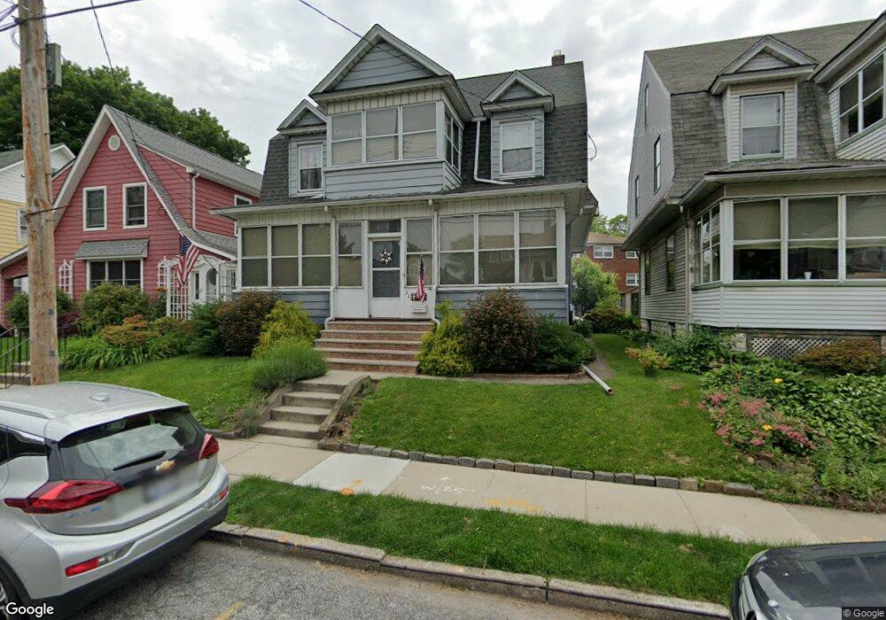
221 Deems Ave Staten Island, NY 10314
Westerleigh NeighborhoodEstimated Value: $716,866 - $828,000
4
Beds
1
Bath
1,776
Sq Ft
$435/Sq Ft
Est. Value
About This Home
This home is located at 221 Deems Ave, Staten Island, NY 10314 and is currently estimated at $772,467, approximately $434 per square foot. 221 Deems Ave is a home located in Richmond County with nearby schools including P.S. 30 Westerleigh, I.S. 51 Edwin Markham, and Port Richmond High School.
Ownership History
Date
Name
Owned For
Owner Type
Purchase Details
Closed on
Feb 6, 2009
Sold by
Stevens Mary and Scalici Susan
Bought by
Poget Sebastian F and Um Sung Yon
Current Estimated Value
Home Financials for this Owner
Home Financials are based on the most recent Mortgage that was taken out on this home.
Original Mortgage
$358,400
Outstanding Balance
$226,067
Interest Rate
5.06%
Mortgage Type
Purchase Money Mortgage
Estimated Equity
$546,400
Purchase Details
Closed on
Feb 3, 2006
Sold by
Vischio Joseph
Bought by
Stevens Mary and Scalici Susan
Create a Home Valuation Report for This Property
The Home Valuation Report is an in-depth analysis detailing your home's value as well as a comparison with similar homes in the area
Home Values in the Area
Average Home Value in this Area
Purchase History
| Date | Buyer | Sale Price | Title Company |
|---|---|---|---|
| Poget Sebastian F | $448,000 | Old Republic National Title | |
| Stevens Mary | -- | None Available |
Source: Public Records
Mortgage History
| Date | Status | Borrower | Loan Amount |
|---|---|---|---|
| Open | Poget Sebastian F | $358,400 |
Source: Public Records
Tax History Compared to Growth
Tax History
| Year | Tax Paid | Tax Assessment Tax Assessment Total Assessment is a certain percentage of the fair market value that is determined by local assessors to be the total taxable value of land and additions on the property. | Land | Improvement |
|---|---|---|---|---|
| 2025 | $6,372 | $42,420 | $11,273 | $31,147 |
| 2024 | $6,384 | $39,180 | $11,515 | $27,665 |
| 2023 | $6,063 | $31,252 | $10,636 | $20,616 |
| 2022 | $5,952 | $40,380 | $13,620 | $26,760 |
| 2021 | $6,224 | $33,960 | $13,620 | $20,340 |
| 2020 | $5,897 | $34,320 | $13,620 | $20,700 |
| 2019 | $4,761 | $37,260 | $13,620 | $23,640 |
| 2018 | $4,650 | $26,043 | $13,285 | $12,758 |
| 2017 | $4,663 | $26,043 | $12,316 | $13,727 |
| 2016 | $4,545 | $25,844 | $12,589 | $13,255 |
| 2015 | $3,806 | $24,382 | $13,242 | $11,140 |
| 2014 | $3,806 | $23,004 | $12,308 | $10,696 |
Source: Public Records
Map
Nearby Homes
- 14 Leonard Ave
- 751 Jewett Ave Unit 17
- 751 Jewett Ave
- 0 Willard Ave
- 142 Margaretta Ct
- 262 Maine Ave
- 183 Goodwin Ave
- 282 Willard Ave
- 279 Saint John Ave
- 307 Fiske Ave
- 307 Clinton B Fiske Ave
- 48 Markham Place
- 204 Demorest Ave
- 349 College Ave
- 325 College Ave
- 63 Avon Ln
- 27 Frederick St
- 304 Kingsley Ave
- 202 Watchogue Rd
- 159 North Ave