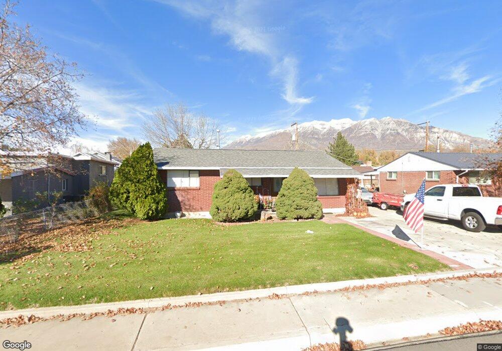
221 E 400 N Orem, UT 84057
Sharon NeighborhoodEstimated Value: $392,045 - $441,000
3
Beds
1
Bath
1,155
Sq Ft
$358/Sq Ft
Est. Value
About This Home
This home is located at 221 E 400 N, Orem, UT 84057 and is currently estimated at $413,511, approximately $358 per square foot. 221 E 400 N is a home located in Utah County with nearby schools including Cascade Elementary School, Canyon View Junior High School, and Orem High School.
Ownership History
Date
Name
Owned For
Owner Type
Purchase Details
Closed on
Jun 11, 2010
Sold by
Adams Michael Brice
Bought by
Adams Michael Brice and Adams Debra N
Current Estimated Value
Home Financials for this Owner
Home Financials are based on the most recent Mortgage that was taken out on this home.
Original Mortgage
$25,000
Interest Rate
4.99%
Mortgage Type
Credit Line Revolving
Purchase Details
Closed on
Nov 22, 2002
Sold by
Adams Michael Brice
Bought by
Adams Michael Brice and Adams Debra N
Create a Home Valuation Report for This Property
The Home Valuation Report is an in-depth analysis detailing your home's value as well as a comparison with similar homes in the area
Home Values in the Area
Average Home Value in this Area
Purchase History
| Date | Buyer | Sale Price | Title Company |
|---|---|---|---|
| Adams Michael Brice | -- | Juab Title & Abstract Compa | |
| Adams Michael Brice | -- | Juab Title & Abstract Compa | |
| Adams Michael Brice | -- | Mountain West Title Co | |
| Adams Michael Brice | -- | Mountain West Title Co |
Source: Public Records
Mortgage History
| Date | Status | Borrower | Loan Amount |
|---|---|---|---|
| Closed | Adams Michael Brice | $25,000 |
Source: Public Records
Tax History
| Year | Tax Paid | Tax Assessment Tax Assessment Total Assessment is a certain percentage of the fair market value that is determined by local assessors to be the total taxable value of land and additions on the property. | Land | Improvement |
|---|---|---|---|---|
| 2025 | $1,286 | $167,585 | -- | -- |
| 2024 | $1,286 | $157,300 | $0 | $0 |
| 2023 | $1,181 | $155,210 | $0 | $0 |
| 2022 | $1,273 | $162,085 | $0 | $0 |
| 2021 | $1,115 | $215,100 | $88,300 | $126,800 |
| 2020 | $1,028 | $194,900 | $70,600 | $124,300 |
| 2019 | $932 | $183,700 | $63,700 | $120,000 |
| 2018 | $862 | $162,400 | $56,900 | $105,500 |
| 2017 | $786 | $79,255 | $0 | $0 |
| 2016 | $756 | $70,290 | $0 | $0 |
| 2015 | $723 | $63,580 | $0 | $0 |
| 2014 | -- | $59,840 | $0 | $0 |
Source: Public Records
Map
Nearby Homes
- 231 E 400 N
- 207 E 400 N
- 207 E 400 N
- 419 N 250 E
- 414 N 200 E
- 429 N 250 E
- 429 N 250 E Unit 517
- 427 N 250 E Unit 516
- 421 N 250 E Unit 515
- 224 E 400 N
- 417 N 250 E Unit 514
- 230 E 400 N
- 413 N 250 E Unit 513
- 386 N 200 E
- 409 N 250 E Unit 512
- 407 N 250 E Unit 511
- 389 N 250 E
- 403 N 250 E Unit 510
- 428 N 200 E
- 401 N 250 E Unit 509
Your Personal Tour Guide
Ask me questions while you tour the home.