221 Inverness Dr Mankato, MN 56001
Country Club Estates NeighborhoodEstimated Value: $447,000 - $549,000
5
Beds
2
Baths
1,421
Sq Ft
$336/Sq Ft
Est. Value
About This Home
This home is located at 221 Inverness Dr, Mankato, MN 56001 and is currently estimated at $477,271, approximately $335 per square foot. 221 Inverness Dr is a home with nearby schools including Franklin Elementary School, Prairie Winds Middle School, and Mankato East Senior High School.
Ownership History
Date
Name
Owned For
Owner Type
Purchase Details
Closed on
May 11, 2012
Sold by
Hiniker Homes Inc
Bought by
Penkert Joseph P and Penkert Kimberly R
Current Estimated Value
Home Financials for this Owner
Home Financials are based on the most recent Mortgage that was taken out on this home.
Original Mortgage
$241,186
Outstanding Balance
$167,809
Interest Rate
3.99%
Mortgage Type
New Conventional
Estimated Equity
$309,462
Create a Home Valuation Report for This Property
The Home Valuation Report is an in-depth analysis detailing your home's value as well as a comparison with similar homes in the area
Home Values in the Area
Average Home Value in this Area
Purchase History
| Date | Buyer | Sale Price | Title Company |
|---|---|---|---|
| Penkert Joseph P | $253,878 | None Available |
Source: Public Records
Mortgage History
| Date | Status | Borrower | Loan Amount |
|---|---|---|---|
| Open | Penkert Joseph P | $241,186 |
Source: Public Records
Tax History Compared to Growth
Tax History
| Year | Tax Paid | Tax Assessment Tax Assessment Total Assessment is a certain percentage of the fair market value that is determined by local assessors to be the total taxable value of land and additions on the property. | Land | Improvement |
|---|---|---|---|---|
| 2025 | $4,986 | $465,700 | $54,100 | $411,600 |
| 2024 | $4,986 | $445,000 | $54,300 | $390,700 |
| 2023 | $4,972 | $435,200 | $54,300 | $380,900 |
| 2022 | $4,436 | $424,400 | $54,300 | $370,100 |
| 2021 | $4,192 | $353,900 | $54,300 | $299,600 |
| 2020 | $4,022 | $321,500 | $54,300 | $267,200 |
| 2019 | $3,836 | $321,500 | $54,300 | $267,200 |
| 2018 | $3,540 | $307,100 | $45,300 | $261,800 |
| 2017 | $3,116 | $287,000 | $45,300 | $241,700 |
| 2016 | $3,022 | $266,900 | $45,300 | $221,600 |
| 2015 | $28 | $260,800 | $45,300 | $215,500 |
| 2014 | $506 | $242,700 | $45,300 | $197,400 |
Source: Public Records
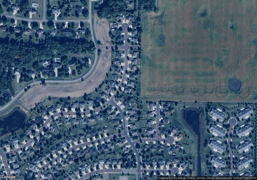
Map
Nearby Homes
- 313 Inverness Dr
- 147 Waynesborough Way
- 147 147 Waynesborough Way
- 403 Elm Dr Unit 116
- 204 Spruce Ln Unit 93
- 103 Maple Dr Unit 44
- 314 Oak Ln Unit 104
- 405 Elm Dr Unit 115
- 111 Maple Dr Unit 48
- 306 Oak Ln Unit 108
- 117 Ct
- 210 Spruce Ln Unit 90
- 407 Elm Dr Unit 114
- 212 Spruce Ln Unit 89
- 55 Wood Dr Unit 24
- 107 Maple Dr Unit 46
- 305 Oak Ln Unit 100
- 110 Maple Dr Unit 74
- 304 Oak Ln Unit 109
- 29 Wood Dr Unit 11
- 217 Inverness Dr
- 1021 1021 St Andrews Dr
- 1021 Saint Andrews Dr
- 213 Inverness Dr
- 1017 Saint Andrews Dr
- 216 216 Iverness Dr
- 216 Inverness Dr
- 212 Inverness Dr
- 220 Inverness Dr
- 1013 Saint Andrews Dr
- 1013 1013 St Andrews Dr
- 1013 St Andrews Dr
- 208 Inverness Dr
- 209 Inverness Dr
- 224 Inverness Dr
- 112 Bay Hill Ct
- 1012 1012 St Andrews Dr
- 1008 1008 St Andrews Dr
- 1012 Saint Andrews Dr
- 1008 Saint Andrews Dr