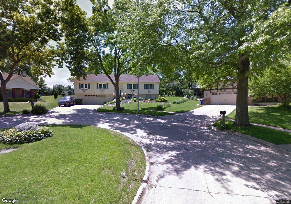
221 Kent Ct NE Cedar Rapids, IA 52402
Estimated Value: $283,000 - $297,000
5
Beds
4
Baths
1,804
Sq Ft
$160/Sq Ft
Est. Value
About This Home
This home is located at 221 Kent Ct NE, Cedar Rapids, IA 52402 and is currently estimated at $288,972, approximately $160 per square foot. 221 Kent Ct NE is a home located in Linn County with nearby schools including Bowman Woods Elementary School, Oak Ridge School, and Linn-Mar High School.
Ownership History
Date
Name
Owned For
Owner Type
Purchase Details
Closed on
Mar 6, 2008
Sold by
Wasta John L and Wasta Carmen H
Bought by
Wasta John L and Prieto Wasta Carmen H
Current Estimated Value
Home Financials for this Owner
Home Financials are based on the most recent Mortgage that was taken out on this home.
Original Mortgage
$139,000
Outstanding Balance
$26,762
Interest Rate
5.51%
Mortgage Type
New Conventional
Estimated Equity
$262,210
Purchase Details
Closed on
Jul 31, 2001
Sold by
Purnell J Greg
Bought by
Wasta John L and Wasta Carmen H
Home Financials for this Owner
Home Financials are based on the most recent Mortgage that was taken out on this home.
Original Mortgage
$118,800
Interest Rate
6.5%
Create a Home Valuation Report for This Property
The Home Valuation Report is an in-depth analysis detailing your home's value as well as a comparison with similar homes in the area
Home Values in the Area
Average Home Value in this Area
Purchase History
| Date | Buyer | Sale Price | Title Company |
|---|---|---|---|
| Wasta John L | -- | None Available | |
| Wasta John L | $148,000 | -- |
Source: Public Records
Mortgage History
| Date | Status | Borrower | Loan Amount |
|---|---|---|---|
| Open | Wasta John L | $139,000 | |
| Closed | Wasta John L | $118,800 |
Source: Public Records
Tax History Compared to Growth
Tax History
| Year | Tax Paid | Tax Assessment Tax Assessment Total Assessment is a certain percentage of the fair market value that is determined by local assessors to be the total taxable value of land and additions on the property. | Land | Improvement |
|---|---|---|---|---|
| 2025 | $4,654 | $275,000 | $59,100 | $215,900 |
| 2024 | $5,196 | $255,800 | $54,900 | $200,900 |
| 2023 | $5,196 | $255,000 | $54,900 | $200,100 |
| 2022 | $4,642 | $236,200 | $46,400 | $189,800 |
| 2021 | $4,392 | $218,600 | $46,400 | $172,200 |
| 2020 | $4,392 | $195,700 | $40,100 | $155,600 |
| 2019 | $4,416 | $198,600 | $40,100 | $158,500 |
| 2018 | $4,222 | $198,600 | $40,100 | $158,500 |
| 2017 | $4,121 | $189,000 | $40,100 | $148,900 |
| 2016 | $4,121 | $184,200 | $40,100 | $144,100 |
| 2015 | $4,111 | $183,580 | $40,085 | $143,495 |
| 2014 | $3,916 | $193,520 | $25,317 | $168,203 |
| 2013 | $3,996 | $193,520 | $25,317 | $168,203 |
Source: Public Records
Map
Nearby Homes
- 342 Cambridge Dr NE
- 6726 Bowman Ln NE
- 316 Sussex Dr NE
- 1151 Plumwood Ct NE
- 7320 Hampshire Dr NE
- 2140 Newcastle Rd
- 1000 Hampshire Cir
- 980 Hampshire Cir
- 7415 Pin Tail Dr NE
- 960 Hampshire Cir
- 2010 Newcastle Rd
- 948 Hampshire Cir
- 3310 Timber Ridge Ct
- 932 Prescott Ln
- 916 Hampshire Cir
- 201 Teakwood Ln NE
- 1310 Linnview Dr
- 2025 Newcastle Rd
- 884 Hampshire Cir
- 862 Hampshire Cir
- 215 Kent Ct NE
- 6912 Larkwood Dr NE
- 226 Boyson Rd NE
- 6916 Larkwood Dr NE
- 222 Boyson Rd NE
- 6920 Larkwood Dr NE
- 216 Boyson Rd NE
- 6904 Larkwood Dr NE
- 216 Kent Ct NE
- 212 Kent Ct NE
- 6924 Larkwood Dr NE
- 212 Boyson Rd NE
- 6837 Kent Dr NE
- 359 Essex Dr NE
- 6913 Larkwood Dr NE
- 6917 Larkwood Dr NE
- 357 Essex Dr NE
- 6909 Larkwood Dr NE
- 219 Boyson Rd NE
- 6921 Larkwood Dr NE