221 Landing Ln Linwood, NJ 08221
Estimated Value: $899,180 - $1,420,000
--
Bed
--
Bath
4,906
Sq Ft
$242/Sq Ft
Est. Value
About This Home
This home is located at 221 Landing Ln, Linwood, NJ 08221 and is currently estimated at $1,186,060, approximately $241 per square foot. 221 Landing Ln is a home located in Atlantic County with nearby schools including Seaview Elementary School, Belhaven Middle School, and Mainland Regional High School.
Ownership History
Date
Name
Owned For
Owner Type
Purchase Details
Closed on
May 22, 1998
Sold by
Cohan Michael G
Bought by
Himmelstein Robert A
Current Estimated Value
Home Financials for this Owner
Home Financials are based on the most recent Mortgage that was taken out on this home.
Original Mortgage
$227,000
Outstanding Balance
$43,007
Interest Rate
6.75%
Estimated Equity
$1,143,053
Purchase Details
Closed on
Aug 7, 1997
Sold by
Pearlman Joy
Bought by
Cohan Michael G
Purchase Details
Closed on
May 20, 1997
Sold by
Paarz Robert E and Paarz Susan A
Bought by
Cohan Michael G and Pearlman Joy
Purchase Details
Closed on
May 1, 1995
Sold by
Gibson L Anthony and Gibson Lynn E
Bought by
Paarz Robert E and Paarz Susan A
Create a Home Valuation Report for This Property
The Home Valuation Report is an in-depth analysis detailing your home's value as well as a comparison with similar homes in the area
Home Values in the Area
Average Home Value in this Area
Purchase History
| Date | Buyer | Sale Price | Title Company |
|---|---|---|---|
| Himmelstein Robert A | $444,000 | Commonwealth Land Title Ins | |
| Cohan Michael G | -- | -- | |
| Cohan Michael G | $469,000 | Lawrence Abstract Company | |
| Paarz Robert E | -- | -- |
Source: Public Records
Mortgage History
| Date | Status | Borrower | Loan Amount |
|---|---|---|---|
| Open | Himmelstein Robert A | $227,000 |
Source: Public Records
Tax History Compared to Growth
Tax History
| Year | Tax Paid | Tax Assessment Tax Assessment Total Assessment is a certain percentage of the fair market value that is determined by local assessors to be the total taxable value of land and additions on the property. | Land | Improvement |
|---|---|---|---|---|
| 2025 | $18,884 | $495,000 | $238,800 | $256,200 |
| 2024 | $18,884 | $495,000 | $238,800 | $256,200 |
| 2023 | $18,008 | $495,000 | $238,800 | $256,200 |
| 2022 | $18,008 | $495,000 | $238,800 | $256,200 |
| 2021 | $17,850 | $495,000 | $238,800 | $256,200 |
| 2020 | $17,602 | $495,000 | $238,800 | $256,200 |
| 2019 | $17,226 | $495,000 | $238,800 | $256,200 |
| 2018 | $19,470 | $572,300 | $238,800 | $333,500 |
| 2017 | $19,080 | $572,300 | $238,800 | $333,500 |
| 2016 | $18,440 | $572,300 | $238,800 | $333,500 |
| 2015 | $18,457 | $572,300 | $238,800 | $333,500 |
| 2014 | $17,775 | $573,400 | $238,800 | $334,600 |
Source: Public Records
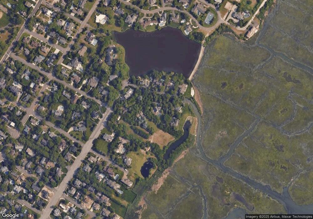
Map
Nearby Homes
- 1917 Ventnor Ave
- 1201 Woodlynne Blvd
- 1050 Shore Rd
- 209 Berkshire Ave
- 208 Balfour Ave
- 105 W Edgewood Ave
- 7 Woodstock Dr
- 104 W Poplar Ave
- 110 E Patcong Ave
- 110 W Poplar Ave
- 103 E Patcong Ave
- 108 Holly Ln
- 1610 Woodlynne Blvd
- 605 Shore Rd
- 130 Wilson Ave
- 102 Morris Ave
- 901 Oak Ave
- 1011 New Rd
- 1016 Richard Dr
- 4 Princeton Ln
- 1158 Franklin Blvd
- 204 Landing Ln
- 206 Landing Ln
- 225 Landing Ln
- 200 Landing Ln
- 222 Landing Ln
- 1156 Franklin Blvd
- 1155 Franklin Blvd
- 203 Frankford Ave
- 207 Frankford Ave
- 114 Glenside Ave
- 1210 Franklin Blvd
- 210 E Essex Ave
- 153 Glenside Ave
- 121 E Edgewood Ave
- 112 Glenside Ave
- 151 Glenside Ave
- 209 E Essex Ave
- 130 E Essex Ave
- 203 E Essex Ave