221 Linn Ct Unit A North Aurora, IL 60542
Estimated Value: $185,000 - $249,000
3
Beds
--
Bath
1,160
Sq Ft
$188/Sq Ft
Est. Value
About This Home
This home is located at 221 Linn Ct Unit A, North Aurora, IL 60542 and is currently estimated at $218,132, approximately $188 per square foot. 221 Linn Ct Unit A is a home located in Kane County with nearby schools including Schneider Elementary School, Herget Middle School, and West Aurora High School.
Ownership History
Date
Name
Owned For
Owner Type
Purchase Details
Closed on
Nov 12, 2004
Sold by
Mata Patricio
Bought by
Mata Patricio and Bonaparte Magalis A
Current Estimated Value
Home Financials for this Owner
Home Financials are based on the most recent Mortgage that was taken out on this home.
Original Mortgage
$110,200
Outstanding Balance
$58,508
Interest Rate
6.75%
Mortgage Type
Purchase Money Mortgage
Estimated Equity
$159,624
Purchase Details
Closed on
Jan 10, 2003
Sold by
Chawla Harjit Singh and Chawla Ajit
Bought by
Mata Patricio
Home Financials for this Owner
Home Financials are based on the most recent Mortgage that was taken out on this home.
Original Mortgage
$90,677
Interest Rate
6.13%
Mortgage Type
FHA
Create a Home Valuation Report for This Property
The Home Valuation Report is an in-depth analysis detailing your home's value as well as a comparison with similar homes in the area
Home Values in the Area
Average Home Value in this Area
Purchase History
| Date | Buyer | Sale Price | Title Company |
|---|---|---|---|
| Mata Patricio | -- | First American Title | |
| Mata Patricio | $92,500 | Law Title Insurance Co |
Source: Public Records
Mortgage History
| Date | Status | Borrower | Loan Amount |
|---|---|---|---|
| Open | Mata Patricio | $110,200 | |
| Closed | Mata Patricio | $90,677 |
Source: Public Records
Tax History Compared to Growth
Tax History
| Year | Tax Paid | Tax Assessment Tax Assessment Total Assessment is a certain percentage of the fair market value that is determined by local assessors to be the total taxable value of land and additions on the property. | Land | Improvement |
|---|---|---|---|---|
| 2024 | $2,250 | $47,934 | $5,360 | $42,574 |
| 2023 | $2,418 | $39,716 | $4,865 | $34,851 |
| 2022 | $1,637 | $27,812 | $4,547 | $23,265 |
| 2021 | $1,562 | $26,377 | $4,312 | $22,065 |
| 2020 | $1,589 | $26,367 | $4,229 | $22,138 |
| 2019 | $1,585 | $25,433 | $4,079 | $21,354 |
| 2018 | $1,510 | $24,062 | $3,924 | $20,138 |
| 2017 | $1,564 | $22,167 | $3,795 | $18,372 |
| 2016 | $1,137 | $17,405 | $3,684 | $13,721 |
| 2015 | $1,873 | $13,682 | $3,600 | $10,082 |
| 2014 | $1,873 | $13,252 | $3,487 | $9,765 |
| 2013 | $1,873 | $12,993 | $3,419 | $9,574 |
Source: Public Records
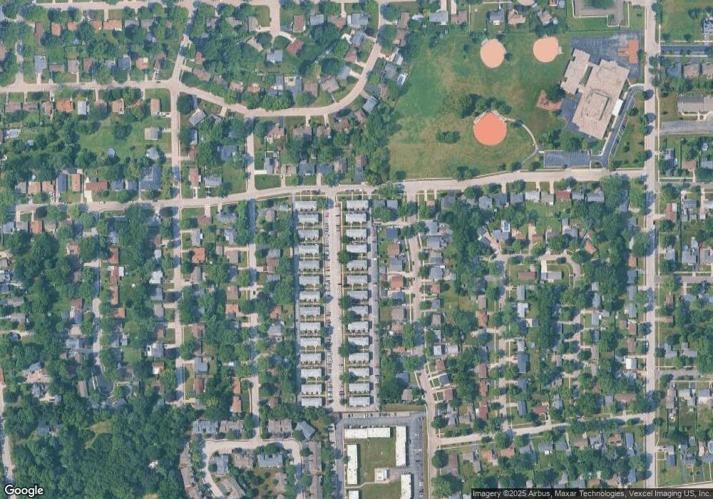
Map
Nearby Homes
- 215 Dee Rd
- 302 Dee Rd
- 203 Lilac Ln
- 202 Linn Ct Unit C
- 114 Briar Ln Unit 2
- 105 April Ln Unit 2
- 254 Ridge Rd
- 122 E State St
- 273 Ridley St
- 925 Darwin St
- 148 N Lincolnway
- 24 S Grant St
- 719 Pinecreek Dr
- 616 Pinehurst Dr
- 12 N Lincolnway
- 509 Wingfoot Dr
- 218 Timber Oaks Dr
- 355 Hilltop Dr
- 344 Hilltop Dr
- 16 S Grace St
- 221 Linn Ct Unit B
- 221 Linn Ct Unit C
- 223 Linn Ct Unit B
- 223 Linn Ct Unit A
- 223 Linn Ct Unit D
- 223 Linn Ct Unit C
- 219 Linn Ct Unit C
- 219 Linn Ct Unit D
- 219 Linn Ct Unit B
- 219 Linn Ct Unit A
- 219 Linn Ct
- 220 Laurel Dr Unit B
- 222A Laurel Dr
- 220A Laurel Dr
- 225 Linn Ct Unit B
- 225 Linn Ct Unit A
- 225 Linn Ct Unit C
- 225 Linn Ct Unit D
- 217 Linn Ct Unit A
- 217 Linn Ct Unit D