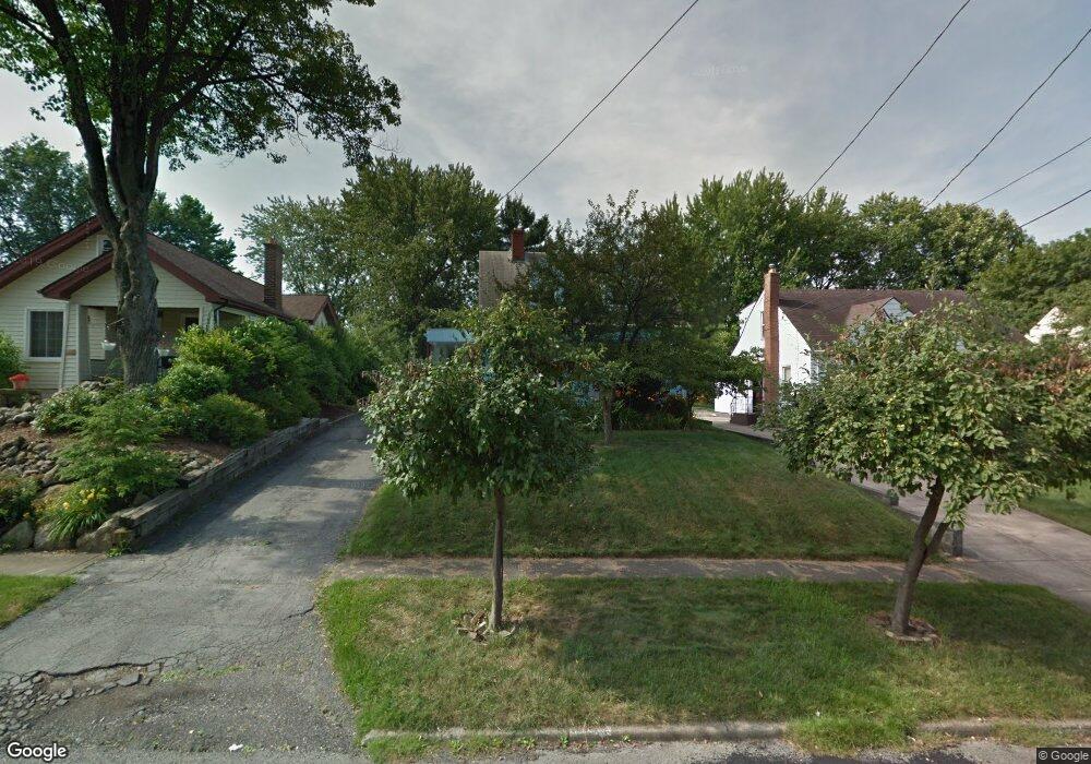
221 Melrose Ave Youngstown, OH 44512
Estimated Value: $135,757 - $166,000
3
Beds
2
Baths
1,229
Sq Ft
$118/Sq Ft
Est. Value
About This Home
This home is located at 221 Melrose Ave, Youngstown, OH 44512 and is currently estimated at $144,439, approximately $117 per square foot. 221 Melrose Ave is a home located in Mahoning County with nearby schools including Boardman Glenwood Junior High School, Boardman High School, and Horizon Science Academy - Youngstown.
Ownership History
Date
Name
Owned For
Owner Type
Purchase Details
Closed on
Nov 23, 2009
Sold by
Johnston Charles H
Bought by
Johnston Lynn M
Current Estimated Value
Purchase Details
Closed on
Aug 3, 1994
Sold by
Schwartz Alice A
Bought by
Johnston Charles H
Home Financials for this Owner
Home Financials are based on the most recent Mortgage that was taken out on this home.
Original Mortgage
$51,472
Interest Rate
8.53%
Mortgage Type
FHA
Purchase Details
Closed on
May 24, 1994
Bought by
Schwartz Anna F
Create a Home Valuation Report for This Property
The Home Valuation Report is an in-depth analysis detailing your home's value as well as a comparison with similar homes in the area
Home Values in the Area
Average Home Value in this Area
Purchase History
| Date | Buyer | Sale Price | Title Company |
|---|---|---|---|
| Johnston Lynn M | -- | Attorney | |
| Johnston Charles H | $51,500 | -- | |
| Schwartz Anna F | -- | -- |
Source: Public Records
Mortgage History
| Date | Status | Borrower | Loan Amount |
|---|---|---|---|
| Closed | Johnston Charles H | $51,472 |
Source: Public Records
Tax History Compared to Growth
Tax History
| Year | Tax Paid | Tax Assessment Tax Assessment Total Assessment is a certain percentage of the fair market value that is determined by local assessors to be the total taxable value of land and additions on the property. | Land | Improvement |
|---|---|---|---|---|
| 2024 | $1,743 | $34,430 | $4,400 | $30,030 |
| 2023 | $1,720 | $34,430 | $4,400 | $30,030 |
| 2022 | $1,290 | $19,680 | $4,070 | $15,610 |
| 2021 | $1,291 | $19,680 | $4,070 | $15,610 |
| 2020 | $1,297 | $19,680 | $4,070 | $15,610 |
| 2019 | $1,246 | $16,820 | $3,480 | $13,340 |
| 2018 | $1,070 | $16,820 | $3,480 | $13,340 |
| 2017 | $1,147 | $16,820 | $3,480 | $13,340 |
| 2016 | $1,226 | $19,150 | $3,890 | $15,260 |
| 2015 | $1,202 | $19,150 | $3,890 | $15,260 |
| 2014 | $1,205 | $19,150 | $3,890 | $15,260 |
| 2013 | $1,190 | $19,150 | $3,890 | $15,260 |
Source: Public Records
Map
Nearby Homes
- 167 Afton Ave
- 127 Melrose Ave
- 329 Afton Ave
- 0 Indianola Rd
- 149 Argyle Ave
- 175 Homestead Dr
- 81 Melrose Ave
- 0 Mathews Rd Unit 5038026
- 429 Tudor Ln
- 0 Cranberry Ln Unit 5170595
- 148 Clifton Dr
- 4715 Euclid Blvd
- 197 Mathews Rd Unit B
- 44 Gertrude Ave
- 6001 Applecrest Dr
- 4552 New England Blvd
- 83 Beechwood Dr
- 424 Mathews Rd
- 94 Beechwood Dr
- 28 Terrace Dr
- 225 Melrose Ave
- 215 Melrose Ave
- 233 Melrose Ave
- 205 Melrose Ave Unit 207
- 237 Melrose Ave
- 201 Melrose Ave
- 214 Erskine Ave
- 228 Erskine Ave
- 239 Melrose Ave
- 210 Erskine Ave
- 230 Erskine Ave
- 224 Melrose Ave
- 204 Erskine Ave
- 234 Erskine Ave
- 214 Melrose Ave
- 241 Melrose Ave
- 199 Melrose Ave
- 228 Melrose Ave
- 210 Melrose Ave
- 240 Erskine Ave