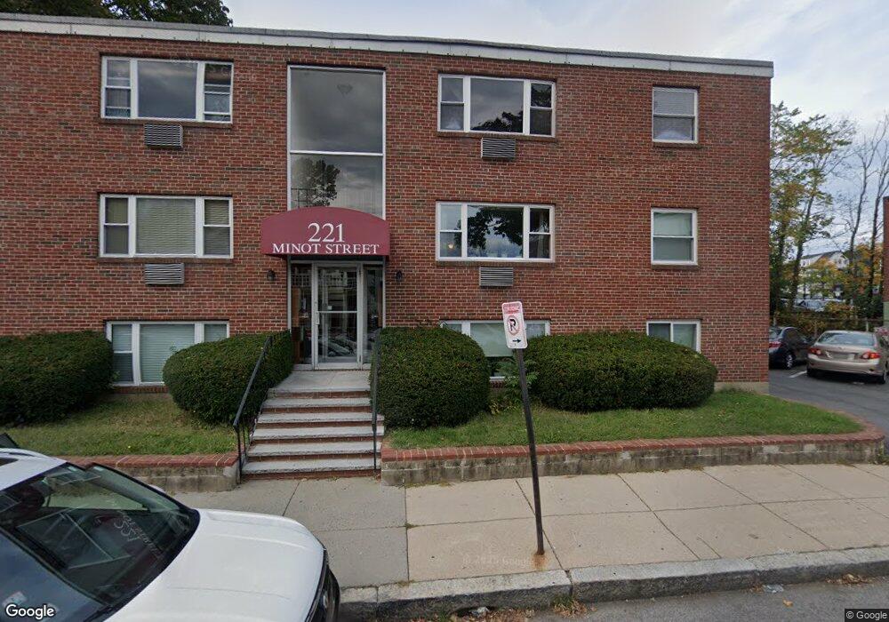
221 Minot St Unit 11 Dorchester Center, MA 02124
Ashmont NeighborhoodEstimated Value: $395,000 - $493,000
2
Beds
1
Bath
737
Sq Ft
$573/Sq Ft
Est. Value
About This Home
This home is located at 221 Minot St Unit 11, Dorchester Center, MA 02124 and is currently estimated at $422,582, approximately $573 per square foot. 221 Minot St Unit 11 is a home located in Suffolk County with nearby schools including Conservatory Lab Upper School, St Brendan School, and Saint John Paul II Catholic Academy.
Ownership History
Date
Name
Owned For
Owner Type
Purchase Details
Closed on
Aug 2, 2016
Sold by
Feeney Sarah J
Bought by
Sarah J Feeney Ret
Current Estimated Value
Purchase Details
Closed on
Jan 5, 2004
Sold by
Alessandro Robert A
Bought by
Feeney Sarah J
Home Financials for this Owner
Home Financials are based on the most recent Mortgage that was taken out on this home.
Original Mortgage
$50,000
Interest Rate
5.86%
Mortgage Type
Purchase Money Mortgage
Create a Home Valuation Report for This Property
The Home Valuation Report is an in-depth analysis detailing your home's value as well as a comparison with similar homes in the area
Home Values in the Area
Average Home Value in this Area
Purchase History
| Date | Buyer | Sale Price | Title Company |
|---|---|---|---|
| Sarah J Feeney Ret | -- | -- | |
| Feeney Sarah J | $202,000 | -- |
Source: Public Records
Mortgage History
| Date | Status | Borrower | Loan Amount |
|---|---|---|---|
| Previous Owner | Feeney Sarah J | $50,000 |
Source: Public Records
Tax History Compared to Growth
Tax History
| Year | Tax Paid | Tax Assessment Tax Assessment Total Assessment is a certain percentage of the fair market value that is determined by local assessors to be the total taxable value of land and additions on the property. | Land | Improvement |
|---|---|---|---|---|
| 2025 | $3,943 | $340,500 | $0 | $340,500 |
| 2024 | $3,839 | $352,200 | $0 | $352,200 |
| 2023 | $3,672 | $341,900 | $0 | $341,900 |
| 2022 | $3,509 | $322,500 | $0 | $322,500 |
| 2021 | $3,301 | $309,400 | $0 | $309,400 |
| 2020 | $2,915 | $276,000 | $0 | $276,000 |
| 2019 | $2,744 | $260,300 | $0 | $260,300 |
| 2018 | $2,527 | $241,100 | $0 | $241,100 |
| 2017 | $2,000 | $188,900 | $0 | $188,900 |
| 2016 | $1,942 | $176,500 | $0 | $176,500 |
| 2015 | $1,849 | $152,700 | $0 | $152,700 |
| 2014 | $1,762 | $140,100 | $0 | $140,100 |
Source: Public Records
Map
Nearby Homes
- 40 Westmoreland St Unit 8
- 251 Minot St Unit 6
- 33 Westmoreland St
- 37 Westmoreland St
- 701 Adams St Unit 9
- 80 Beaumont St Unit 101
- 140 Minot St
- 859 Adams St Unit 859
- 102 Milton St
- 885-887 Adams St Unit 1
- 107 Minot St
- 103 Minot St
- 37 Rangeley St
- 118-120 Granite Ave Unit 2
- 9-11 Adanac Terrace
- 61 Hill Top St
- 45 Msgr Patrick j Lydon Way
- 37 Msgr Patrick j Lydon Way
- 1910 Dorchester Ave Unit 617
- 1910 Dorchester Ave Unit 601
- 221 Minot St Unit 12
- 221 Minot St Unit 10
- 221 Minot St Unit 9
- 221 Minot St Unit 8
- 221 Minot St Unit 7
- 221 Minot St Unit 6
- 221 Minot St Unit 5
- 221 Minot St Unit 4
- 221 Minot St Unit 3
- 221 Minot St Unit 2
- 221 Minot St Unit 1
- 221 Minot St
- 221 Minot St Unit One
- 227 Minot St
- 771 Adams St
- 755 Adams St
- 228 Minot St
- 229 Minot St
- 220 Minot St Unit R4
- 220 Minot St Unit R3