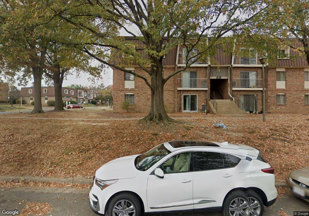
221 N Emory Dr Unit 10 Sterling, VA 20164
Estimated Value: $234,863 - $264,000
2
Beds
1
Bath
936
Sq Ft
$271/Sq Ft
Est. Value
About This Home
This home is located at 221 N Emory Dr Unit 10, Sterling, VA 20164 and is currently estimated at $253,216, approximately $270 per square foot. 221 N Emory Dr Unit 10 is a home located in Loudoun County with nearby schools including Sully Elementary School, Sterling Middle School, and Park View High School.
Ownership History
Date
Name
Owned For
Owner Type
Purchase Details
Closed on
Apr 28, 2009
Sold by
Deutsche Bk Natl Trust Co
Bought by
Springbrook Invest Llc
Current Estimated Value
Purchase Details
Closed on
Oct 17, 2005
Sold by
Ayala Jose
Bought by
Gomez Ana
Home Financials for this Owner
Home Financials are based on the most recent Mortgage that was taken out on this home.
Original Mortgage
$192,000
Interest Rate
5.72%
Mortgage Type
New Conventional
Purchase Details
Closed on
Aug 26, 2004
Sold by
Mathews Donna Jean
Bought by
Ayala Jose D
Home Financials for this Owner
Home Financials are based on the most recent Mortgage that was taken out on this home.
Original Mortgage
$164,650
Interest Rate
6.02%
Mortgage Type
New Conventional
Create a Home Valuation Report for This Property
The Home Valuation Report is an in-depth analysis detailing your home's value as well as a comparison with similar homes in the area
Home Values in the Area
Average Home Value in this Area
Purchase History
| Date | Buyer | Sale Price | Title Company |
|---|---|---|---|
| Springbrook Invest Llc | $72,000 | -- | |
| Gomez Ana | $240,000 | -- | |
| Ayala Jose D | $160,000 | -- |
Source: Public Records
Mortgage History
| Date | Status | Borrower | Loan Amount |
|---|---|---|---|
| Previous Owner | Gomez Ana | $192,000 | |
| Previous Owner | Ayala Jose D | $164,650 |
Source: Public Records
Tax History Compared to Growth
Tax History
| Year | Tax Paid | Tax Assessment Tax Assessment Total Assessment is a certain percentage of the fair market value that is determined by local assessors to be the total taxable value of land and additions on the property. | Land | Improvement |
|---|---|---|---|---|
| 2025 | $1,847 | $229,440 | $75,000 | $154,440 |
| 2024 | $1,928 | $222,890 | $75,000 | $147,890 |
| 2023 | $1,917 | $219,140 | $75,000 | $144,140 |
| 2022 | $1,950 | $219,120 | $60,000 | $159,120 |
| 2021 | $1,820 | $185,720 | $50,000 | $135,720 |
| 2020 | $1,819 | $175,720 | $40,000 | $135,720 |
| 2019 | $1,784 | $170,720 | $35,000 | $135,720 |
| 2018 | $1,619 | $149,190 | $35,000 | $114,190 |
| 2017 | $1,573 | $139,830 | $35,000 | $104,830 |
| 2016 | $1,601 | $139,830 | $0 | $0 |
| 2015 | $1,566 | $102,960 | $0 | $102,960 |
| 2014 | $1,572 | $101,090 | $0 | $101,090 |
Source: Public Records
Map
Nearby Homes
- 221 N Emory Dr Unit 4
- 143 N Duke Dr
- 308 E Cornell Dr
- 113 N College Dr Unit 175
- 113 N Harrison Rd
- 1107 E Beech Rd
- 316 Hanford Ct
- 104 N Garfield Rd
- 102 N Garfield Rd
- 346 Lancaster Square
- 301 N Alder Ave
- 409 N Argonne Ave
- 503 S Maple Ct
- 207 N Laura Anne Dr
- 11 Butternut Way
- 202 N Fir Ct
- 600 E Poplar Rd
- 105 Deerwood Ct
- 801 S Concord Ct
- 400 E Poplar Rd
- 221 N Emory Dr Unit 3
- 221 N Emory Dr Unit 11
- 221 N Emory Dr Unit 7
- 221 N Emory Dr Unit 2
- 221 N Emory Dr Unit 12
- 221 N Emory Dr Unit 9
- 221 N Emory Dr Unit 8
- 221 N Emory Dr Unit 6
- 221 N Emory Dr Unit 5
- 221 N Emory Dr Unit 1
- 201 N Emory Dr Unit 8
- 201 N Emory Dr Unit 10
- 201 N Emory Dr Unit 4
- 201 N Emory Dr Unit 6
- 201 N Emory Dr Unit 1
- 201 N Emory Dr Unit 11
- 201 N Emory Dr Unit 12
- 201 N Emory Dr Unit 9
- 201 N Emory Dr Unit 7
- 201 N Emory Dr Unit 5