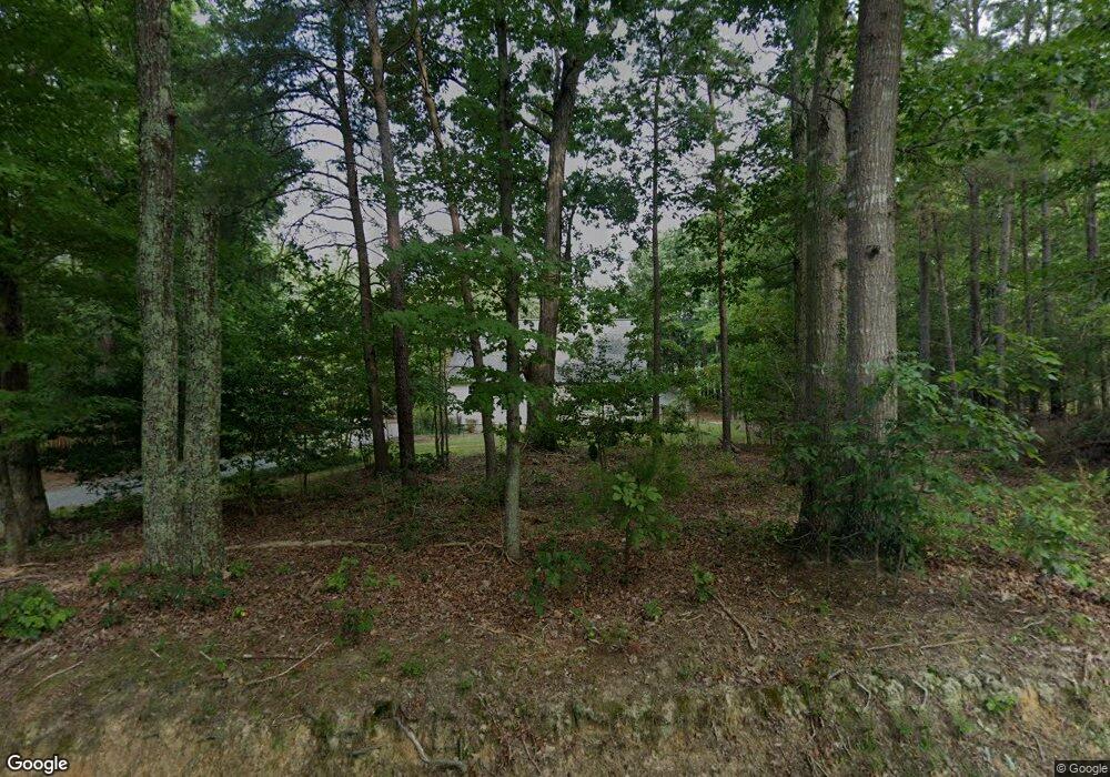
221 Neck O Land Rd Williamsburg, VA 23185
Jamestown NeighborhoodEstimated Value: $331,000 - $352,000
2
Beds
2
Baths
1,680
Sq Ft
$202/Sq Ft
Est. Value
About This Home
This home is located at 221 Neck O Land Rd, Williamsburg, VA 23185 and is currently estimated at $338,699, approximately $201 per square foot. 221 Neck O Land Rd is a home located in James City County with nearby schools including Laurel Lane Elementary School, Berkeley Middle School, and Lafayette High School.
Ownership History
Date
Name
Owned For
Owner Type
Purchase Details
Closed on
Dec 17, 2002
Sold by
Hall Lyman
Bought by
Foley Kevin
Current Estimated Value
Home Financials for this Owner
Home Financials are based on the most recent Mortgage that was taken out on this home.
Original Mortgage
$128,250
Outstanding Balance
$54,217
Interest Rate
6.02%
Mortgage Type
New Conventional
Estimated Equity
$284,482
Create a Home Valuation Report for This Property
The Home Valuation Report is an in-depth analysis detailing your home's value as well as a comparison with similar homes in the area
Home Values in the Area
Average Home Value in this Area
Purchase History
| Date | Buyer | Sale Price | Title Company |
|---|---|---|---|
| Foley Kevin | $135,000 | -- |
Source: Public Records
Mortgage History
| Date | Status | Borrower | Loan Amount |
|---|---|---|---|
| Open | Foley Kevin | $128,250 |
Source: Public Records
Tax History Compared to Growth
Tax History
| Year | Tax Paid | Tax Assessment Tax Assessment Total Assessment is a certain percentage of the fair market value that is determined by local assessors to be the total taxable value of land and additions on the property. | Land | Improvement |
|---|---|---|---|---|
| 2025 | $1,740 | $242,000 | $75,800 | $166,200 |
| 2024 | $1,740 | $242,000 | $75,800 | $166,200 |
| 2023 | $1,740 | $209,600 | $75,800 | $133,800 |
| 2022 | $1,740 | $209,600 | $75,800 | $133,800 |
| 2021 | $1,610 | $191,700 | $72,300 | $119,400 |
| 2020 | $1,610 | $191,700 | $72,300 | $119,400 |
| 2019 | $1,581 | $188,200 | $68,800 | $119,400 |
| 2018 | $1,581 | $188,200 | $68,800 | $119,400 |
| 2017 | $1,531 | $182,300 | $68,800 | $113,500 |
| 2016 | $1,432 | $170,500 | $57,000 | $113,500 |
| 2015 | -- | $204,200 | $57,000 | $147,200 |
| 2014 | -- | $204,200 | $57,000 | $147,200 |
Source: Public Records
Map
Nearby Homes
- 134 Lakewood Dr
- 339 Neck O Land Rd
- 339 Neck-O-land Rd
- 4427 Landfall Dr
- 4396 Landfall Dr
- 5205 Scenic Ct
- 403 Neck O Land Rd
- 88 Holly Grove
- 133 Hearthside Ln
- 4760 Pelegs Way
- 4384 Landfall Dr
- 5105 Rolling Reach
- 97 Holly Grove
- 116 Mill Stream Way
- 4700 Deliverance Dr
- 5309 Queen Bishop Ln
- 1008 Gadsby Ln
- 3013 Plymouth Place
- 3012 Plymouth Place
- 215 Neck O Land Rd
- 218 Neck O Land
- 218 Neck O Land Rd
- 2688 Brownstone Cir
- 2692 Brownstone Cir
- 2684 Brownstone Cir
- 220 Neck O Land Rd
- 2696 Brownstone Cir
- 230 Neck O Land Rd
- 212 Neck O Land Rd
- 2700 Brownstone Cir
- 2680 Brownstone Cir
- 234 Neck O Land Rd
- 234I Neck-O-land Rd
- 2704 Brownstone Cir
- 209 Neck O Land Rd
- 2679 Brownstone Cir
- 2687 Brownstone Cir
- 2691 Brownstone Cir
- 2676 Brownstone Cir
