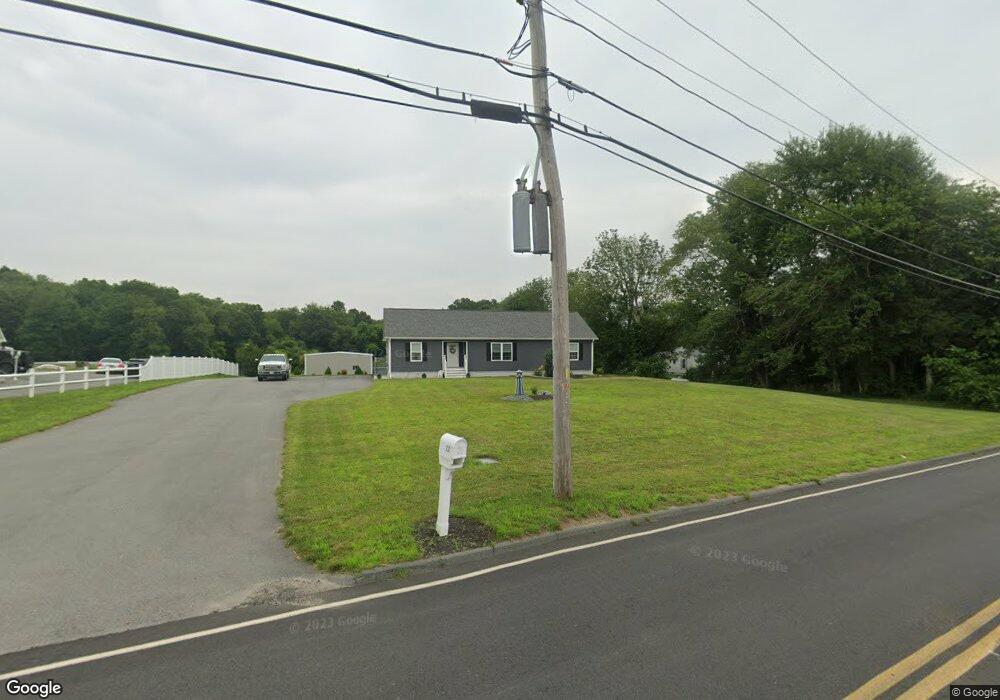
221 Nyes Ln Acushnet, MA 02743
Sherwood Forest NeighborhoodEstimated Value: $403,000 - $598,000
--
Bed
--
Bath
1,624
Sq Ft
$324/Sq Ft
Est. Value
About This Home
This home is located at 221 Nyes Ln, Acushnet, MA 02743 and is currently estimated at $525,677, approximately $323 per square foot. 221 Nyes Ln is a home with nearby schools including Acushnet Elementary School, Albert F Ford Middle School, and All Saints Catholic School.
Ownership History
Date
Name
Owned For
Owner Type
Purchase Details
Closed on
Apr 3, 2025
Sold by
Froh Mark E and Froh Karol A
Bought by
Froh
Current Estimated Value
Purchase Details
Closed on
Jun 9, 2017
Sold by
Decosta Ft
Bought by
Froh Mark E and Froh Karol A
Purchase Details
Closed on
Jan 25, 2016
Sold by
Sniezek Edward M and Sniezek Eva V
Bought by
Decosta Ft
Purchase Details
Closed on
Aug 6, 2003
Sold by
Whites Farm Dairy Inc
Bought by
J & R Land Holdings Ll
Create a Home Valuation Report for This Property
The Home Valuation Report is an in-depth analysis detailing your home's value as well as a comparison with similar homes in the area
Home Values in the Area
Average Home Value in this Area
Purchase History
| Date | Buyer | Sale Price | Title Company |
|---|---|---|---|
| Froh | -- | None Available | |
| Froh | -- | None Available | |
| Froh Mark E | $140,000 | -- | |
| Froh Mark E | $140,000 | -- | |
| Decosta Ft | $130,000 | -- | |
| Decosta Ft | $130,000 | -- | |
| J & R Land Holdings Ll | $140,000 | -- |
Source: Public Records
Tax History Compared to Growth
Tax History
| Year | Tax Paid | Tax Assessment Tax Assessment Total Assessment is a certain percentage of the fair market value that is determined by local assessors to be the total taxable value of land and additions on the property. | Land | Improvement |
|---|---|---|---|---|
| 2025 | $5,725 | $530,600 | $171,700 | $358,900 |
| 2024 | $5,591 | $490,000 | $162,700 | $327,300 |
| 2023 | $5,424 | $452,000 | $147,600 | $304,400 |
| 2022 | $5,409 | $407,600 | $138,600 | $269,000 |
| 2021 | $2,944 | $373,200 | $138,600 | $234,600 |
| 2020 | $4,868 | $349,200 | $129,600 | $219,600 |
| 2019 | $3,680 | $123,600 | $123,600 | $0 |
| 2018 | $1,782 | $123,600 | $123,600 | $0 |
| 2017 | $3,329 | $123,600 | $123,600 | $0 |
| 2016 | $1,796 | $123,600 | $123,600 | $0 |
| 2015 | $1,765 | $123,600 | $123,600 | $0 |
Source: Public Records
Map
Nearby Homes
- 847 Terry Ln
- 850 Terry Ln
- 26 Rounseville St
- 957 Glen St
- ES Acushnet Ave
- 5 Fairway Dr
- 13 Fairway Dr
- 9 Middlefield Place
- 6 Middlefield Place
- 2981 Acushnet Ave
- 1045 Forbes St
- 1023 Bowles St
- 1044 Phillips Rd Unit 20
- 1044 Phillips Rd Unit 24
- 1044 Victoria St Unit B-29
- 0 Church Dutton & Chaffee Unit 73371719
- 7 Morses Ln
- 1024 Marion St
- 52 Pershing Ave
- 16 Morses Ln