221 Oak Bend Rd Kaiser, MO 65047
Estimated Value: $245,444 - $375,000
Studio
--
Bath
1,680
Sq Ft
$181/Sq Ft
Est. Value
About This Home
This home is located at 221 Oak Bend Rd, Kaiser, MO 65047 and is currently estimated at $304,148, approximately $181 per square foot. 221 Oak Bend Rd is a home with nearby schools including Heritage Elementary School, Osage Upper Elementary School, and Osage Middle School.
Ownership History
Date
Name
Owned For
Owner Type
Purchase Details
Closed on
May 27, 2021
Sold by
Lucido Dennis L and Lucido Richard J
Bought by
Matthews Mark T and Matthews Diana V
Current Estimated Value
Purchase Details
Closed on
Sep 24, 2009
Sold by
Matthews Mark T and Matthews Diana V
Bought by
Matthews Mark T and Matthews Diana V
Create a Home Valuation Report for This Property
The Home Valuation Report is an in-depth analysis detailing your home's value as well as a comparison with similar homes in the area
Purchase History
| Date | Buyer | Sale Price | Title Company |
|---|---|---|---|
| Matthews Mark T | -- | Lake Of Ozarks Land Ttl Comp | |
| Matthews Mark T | -- | Lake Of The Ozarks Land Titl |
Source: Public Records
Tax History
| Year | Tax Paid | Tax Assessment Tax Assessment Total Assessment is a certain percentage of the fair market value that is determined by local assessors to be the total taxable value of land and additions on the property. | Land | Improvement |
|---|---|---|---|---|
| 2025 | $2,004 | $42,710 | $3,970 | $38,740 |
| 2024 | $1,753 | $37,190 | $3,610 | $33,580 |
| 2023 | $1,613 | $37,190 | $3,610 | $33,580 |
| 2022 | $1,621 | $33,360 | $3,610 | $29,750 |
| 2021 | $1,621 | $33,360 | $3,610 | $29,750 |
| 2020 | $1,611 | $32,620 | $3,610 | $29,010 |
| 2019 | $1,613 | $32,620 | $3,610 | $29,010 |
| 2018 | $1,172 | $22,340 | $3,610 | $18,730 |
| 2017 | $1,090 | $23,700 | $3,560 | $20,140 |
| 2016 | $1,075 | $23,700 | $0 | $0 |
| 2015 | -- | $23,710 | $0 | $0 |
| 2012 | -- | $25,230 | $0 | $0 |
Source: Public Records
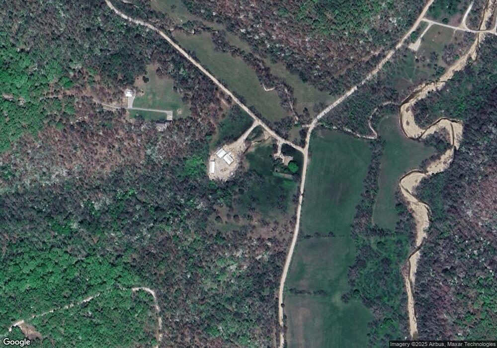
Map
Nearby Homes
- 12 Avery Dr
- 21 Winston Ln
- 175 Highway D
- 3 Mary Dr
- 4 Kathleen Ct
- 6 Sam Dr
- 12 Sam Dr
- 749 Highway D
- 765 College Blvd
- Lot 220 & 221 Cherry Hill Dr
- 323 Cherry Hill Dr
- 0 Osage River Bridge
- 290 Osage River Bridge
- 125 Arrowhead Dr
- TBD Hwy 54
- 336 Cherry Hill Ln
- Lot 26A & 27 Bay Hill Ave
- Tract C Hwy 242
- 100 Osage Hills Rd Unit 504
- 100 Osage Hills Rd Unit 603
- 70 High Ridge Ct
- Lot 12 Springdale Ln
- 0 Oak Bend (D-4)
- 17 Springdale Ln
- Lot 10 & 12 Springdale Ln
- 10 Springdale Ln
- 46 High Ridge Ct
- 45 High Ridge Ct
- 69 Springdale Ln
- 26 Springdale Ln
- 39 High Ridge Ct
- 14 Blackmer Rd
- 9 Blue Jay Rd
- 36 High Ridge Ct
- 20 Blue Jay Rd
- 22 Blue Jay Rd
- 80 Springdale Ln
- 50 Ballard Rd
- 181 Oak Bend Rd
- 24 High Ridge Ct
Your Personal Tour Guide
Ask me questions while you tour the home.