221 Randolph St Mineral, VA 23117
Estimated Value: $823,000 - $1,040,795
4
Beds
4
Baths
3,433
Sq Ft
$271/Sq Ft
Est. Value
About This Home
This home is located at 221 Randolph St, Mineral, VA 23117 and is currently estimated at $931,449, approximately $271 per square foot. 221 Randolph St is a home located in Louisa County with nearby schools including Thomas Jefferson Elementary School, Louisa County Middle School, and Louisa County High School.
Ownership History
Date
Name
Owned For
Owner Type
Purchase Details
Closed on
Jun 20, 2018
Sold by
Mcaveney William J and Mcaveney Moira H
Bought by
Schenk Edward F and Schenk Miriam I
Current Estimated Value
Home Financials for this Owner
Home Financials are based on the most recent Mortgage that was taken out on this home.
Original Mortgage
$384,735
Outstanding Balance
$332,030
Interest Rate
4.5%
Mortgage Type
VA
Estimated Equity
$599,419
Create a Home Valuation Report for This Property
The Home Valuation Report is an in-depth analysis detailing your home's value as well as a comparison with similar homes in the area
Home Values in the Area
Average Home Value in this Area
Purchase History
| Date | Buyer | Sale Price | Title Company |
|---|---|---|---|
| Schenk Edward F | $534,700 | Chicago Title Insurance Co |
Source: Public Records
Mortgage History
| Date | Status | Borrower | Loan Amount |
|---|---|---|---|
| Open | Schenk Edward F | $384,735 |
Source: Public Records
Tax History Compared to Growth
Tax History
| Year | Tax Paid | Tax Assessment Tax Assessment Total Assessment is a certain percentage of the fair market value that is determined by local assessors to be the total taxable value of land and additions on the property. | Land | Improvement |
|---|---|---|---|---|
| 2025 | $6,060 | $946,000 | $218,800 | $727,200 |
| 2024 | $6,060 | $841,700 | $197,800 | $643,900 |
| 2023 | $5,212 | $762,000 | $180,300 | $581,700 |
| 2022 | $4,427 | $614,900 | $164,500 | $450,400 |
| 2021 | $3,486 | $541,400 | $148,800 | $392,600 |
| 2020 | $3,643 | $506,000 | $148,800 | $357,200 |
| 2019 | $3,656 | $507,800 | $148,800 | $359,000 |
| 2018 | $3,850 | $534,700 | $143,500 | $391,200 |
| 2017 | $3,773 | $530,600 | $143,500 | $387,100 |
| 2016 | $3,773 | $524,000 | $147,000 | $377,000 |
| 2015 | $3,774 | $524,200 | $147,000 | $377,200 |
| 2013 | -- | $515,400 | $157,500 | $357,900 |
Source: Public Records
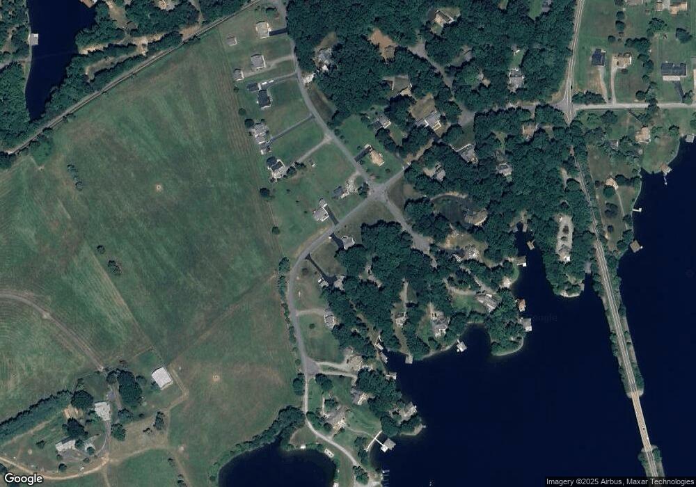
Map
Nearby Homes
- 52 William St
- 3349 Elk Creek Rd
- 15 Wolftrap Ct
- 130 Rock Island Ridge
- 33 Rock Island Ridge Lake Anna
- 51 Lighthouse Dr
- 29 Rock Island Ridge
- 74 Rock Island Ridge
- 48 Rock Island Ridge
- Banyan II Plan at Rock Island Landing
- Aquinnah Plan at Rock Island Landing
- Windward II Plan at Rock Island Landing
- Spinnaker II Plan at Rock Island Landing
- 219 Rock Island Ridge
- Robey Plan at Rock Island Landing
- Millwright II Plan at Rock Island Landing
- Halyard Plan at Rock Island Landing
- 25 Rock Island Ridge Lake Anna
- Lot 23 Anderson Way
- Lot 31 Boxwood Rd
- 251 Randolph St
- 218 Randolph St
- 228 William St
- 200 Randolph St
- 0 Randolph St Unit LA9842700
- 250 Randolph St
- 325 Randolph St
- 9 William St
- 175 William St
- 254 William St
- 135 Randolph St
- 128 William St
- 0 William St Unit 1007071984
- 0 William St Unit LA8324361
- 251 William St
- 357 Randolph St
- 148 Randolph St
- 256 William St
- 257 William St
- 98 William St