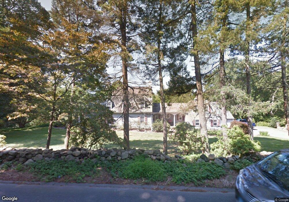
221 Range Rd Wilton, CT 06897
Estimated Value: $1,406,000 - $2,271,000
5
Beds
5
Baths
2,557
Sq Ft
$670/Sq Ft
Est. Value
About This Home
This home is located at 221 Range Rd, Wilton, CT 06897 and is currently estimated at $1,714,080, approximately $670 per square foot. 221 Range Rd is a home located in Fairfield County with nearby schools including Miller-Driscoll School, Cider Mill School, and Middlebrook School.
Ownership History
Date
Name
Owned For
Owner Type
Purchase Details
Closed on
Aug 31, 2023
Sold by
Ranhosky F W
Bought by
Ranhosky Frank W
Current Estimated Value
Purchase Details
Closed on
Sep 6, 2002
Sold by
Dymnicki Frank J and Dymnicki Celeste A
Bought by
Ranhosky F Wayne
Home Financials for this Owner
Home Financials are based on the most recent Mortgage that was taken out on this home.
Original Mortgage
$500,000
Interest Rate
4.88%
Mortgage Type
Purchase Money Mortgage
Purchase Details
Closed on
Mar 14, 1987
Sold by
Meulendyke Samuel
Bought by
Dymmicki Frank
Home Financials for this Owner
Home Financials are based on the most recent Mortgage that was taken out on this home.
Original Mortgage
$275,000
Interest Rate
9.01%
Create a Home Valuation Report for This Property
The Home Valuation Report is an in-depth analysis detailing your home's value as well as a comparison with similar homes in the area
Home Values in the Area
Average Home Value in this Area
Purchase History
| Date | Buyer | Sale Price | Title Company |
|---|---|---|---|
| Ranhosky Frank W | -- | None Available | |
| Ranhosky F Wayne | $1,125,000 | -- | |
| Dymmicki Frank | $520,000 | -- |
Source: Public Records
Mortgage History
| Date | Status | Borrower | Loan Amount |
|---|---|---|---|
| Previous Owner | Dymmicki Frank | $500,000 | |
| Previous Owner | Dymmicki Frank | $266,000 | |
| Previous Owner | Dymmicki Frank | $275,000 |
Source: Public Records
Tax History
| Year | Tax Paid | Tax Assessment Tax Assessment Total Assessment is a certain percentage of the fair market value that is determined by local assessors to be the total taxable value of land and additions on the property. | Land | Improvement |
|---|---|---|---|---|
| 2025 | $19,016 | $779,030 | $320,530 | $458,500 |
| 2024 | $18,650 | $779,030 | $320,530 | $458,500 |
| 2023 | $22,880 | $581,700 | $306,460 | $275,240 |
| 2022 | $16,421 | $581,700 | $306,460 | $275,240 |
| 2021 | $16,212 | $581,700 | $306,460 | $275,240 |
| 2020 | $15,973 | $581,700 | $306,460 | $275,240 |
| 2019 | $16,558 | $580,160 | $306,460 | $273,700 |
| 2018 | $16,041 | $569,030 | $321,720 | $247,310 |
| 2017 | $15,802 | $569,030 | $321,720 | $247,310 |
| 2016 | $15,557 | $569,030 | $321,720 | $247,310 |
| 2015 | $15,267 | $569,030 | $321,720 | $247,310 |
| 2014 | $15,085 | $569,030 | $321,720 | $247,310 |
Source: Public Records
Map
Nearby Homes
- 433 Belden Hill Rd
- 332 Belden Hill Rd
- 123 Old Belden Hill Rd Unit 19
- 123 Old Belden Hill Rd Unit 40
- 25 Arrowhead Rd
- 20 Arrowhead Rd
- 9 Old Farm Rd
- 158 N Seir Hill Rd
- 2 Village Ct Unit 2
- 84 Wilton Crest Rd Unit 84
- 24 Grey Hollow Rd
- 73 Old Kings Hwy
- 7 Glen Ridge
- 3 Valley View Rd Unit 45
- 8 Oakwood Ave Unit B13
- 3 Deerfield Rd
- 3 Seir Hill Rd Unit A6
- 30 Freshwater Ln
- 276 Grumman Ave
- 205 E Rocks Rd
Your Personal Tour Guide
Ask me questions while you tour the home.