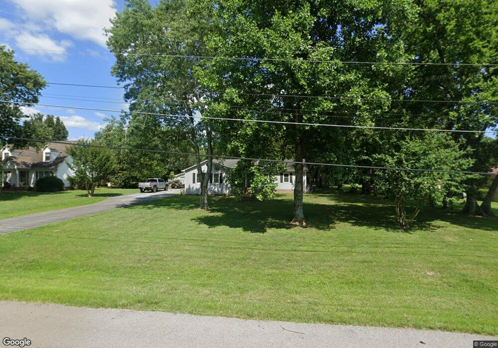
221 Robin Hood Rd Pulaski, TN 38478
Estimated Value: $261,977 - $321,000
3
Beds
2
Baths
1,807
Sq Ft
$163/Sq Ft
Est. Value
About This Home
This home is located at 221 Robin Hood Rd, Pulaski, TN 38478 and is currently estimated at $294,494, approximately $162 per square foot. 221 Robin Hood Rd is a home located in Giles County with nearby schools including Pulaski Elementary School, Southside Elementary School, and Bridgeforth Middle School.
Ownership History
Date
Name
Owned For
Owner Type
Purchase Details
Closed on
Oct 31, 2012
Sold by
Wilburn Catherine Campbell
Bought by
Camp Jessica L
Current Estimated Value
Home Financials for this Owner
Home Financials are based on the most recent Mortgage that was taken out on this home.
Original Mortgage
$106,122
Outstanding Balance
$73,367
Interest Rate
3.4%
Mortgage Type
Commercial
Estimated Equity
$221,127
Purchase Details
Closed on
Jan 7, 1988
Bought by
Wilburn Catherine C
Purchase Details
Closed on
Jan 1, 1985
Bought by
Shaw Randall
Create a Home Valuation Report for This Property
The Home Valuation Report is an in-depth analysis detailing your home's value as well as a comparison with similar homes in the area
Home Values in the Area
Average Home Value in this Area
Purchase History
| Date | Buyer | Sale Price | Title Company |
|---|---|---|---|
| Camp Jessica L | $104,000 | -- | |
| Wilburn Catherine C | $58,000 | -- | |
| Shaw Randall | $6,000 | -- |
Source: Public Records
Mortgage History
| Date | Status | Borrower | Loan Amount |
|---|---|---|---|
| Open | Camp Jessica L | $106,122 |
Source: Public Records
Tax History Compared to Growth
Tax History
| Year | Tax Paid | Tax Assessment Tax Assessment Total Assessment is a certain percentage of the fair market value that is determined by local assessors to be the total taxable value of land and additions on the property. | Land | Improvement |
|---|---|---|---|---|
| 2024 | $1,097 | $45,550 | $7,100 | $38,450 |
| 2023 | $1,097 | $45,550 | $7,100 | $38,450 |
| 2022 | $1,097 | $45,550 | $7,100 | $38,450 |
| 2021 | $880 | $26,000 | $4,850 | $21,150 |
| 2020 | $880 | $26,000 | $4,850 | $21,150 |
| 2019 | $734 | $26,000 | $4,850 | $21,150 |
| 2018 | $880 | $26,000 | $4,850 | $21,150 |
| 2017 | $880 | $26,000 | $4,850 | $21,150 |
| 2016 | $914 | $25,825 | $4,875 | $20,950 |
| 2015 | $863 | $25,825 | $4,875 | $20,950 |
| 2014 | $863 | $25,828 | $0 | $0 |
Source: Public Records
Map
Nearby Homes
- 132 Stonecreek Dr
- 0 Industrial Loop Rd
- 1660 Vales Mill Rd
- 1814 Vales Mill Rd
- 133 Sunset Dr
- 118 Sunset Dr
- 125 Chicken Creek Rd
- 271 Chicken Creek Rd
- 1 Chicken Creek Rd
- 2400 Chicken Creek Rd
- 1336 Charlotte Ct
- 1041 Jackson Dr
- 1205 Beverly Dr
- 720 W Madison St
- 1202 Parker Dr
- 210 S 6th St
- 1200 Mill St
- 1021 Mill St
- 420 Fort Hill Dr
- 803 Nichols St
- 215 Robin Hood Rd
- 229 Robin Hood Rd
- 209 Robin Hood Rd
- 235 Robin Hood Rd Unit 237
- 237 Robinhood Rd
- 228 Robin Hood Rd
- 413 Westgate Dr
- 245 Robin Hood Rd
- 212 Robin Hood Rd
- 203 Robin Hood Rd
- 411 Westgate Dr
- 415 Westgate Dr
- 16972 W College St
- 204 Robin Hood Rd
- 16988 W College St
- 16988 W College St
- 16946 W College St
- 416 Westgate Dr
- 412 Westgate Dr
- 2017 Lynne Rd