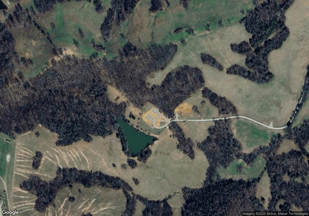
221 Robinson Rd Pulaski, TN 38478
Estimated Value: $739,000 - $1,489,617
5
Beds
5
Baths
4,161
Sq Ft
$250/Sq Ft
Est. Value
About This Home
This home is located at 221 Robinson Rd, Pulaski, TN 38478 and is currently estimated at $1,041,539, approximately $250 per square foot. 221 Robinson Rd is a home located in Giles County with nearby schools including Richland Elementary School and Richland School.
Ownership History
Date
Name
Owned For
Owner Type
Purchase Details
Closed on
Sep 10, 2024
Sold by
Whidbey Family Trust and Shanahan Robert A
Bought by
Blue Truck Farm Llc
Current Estimated Value
Purchase Details
Closed on
Mar 27, 2024
Sold by
Robinson Road Associates
Bought by
Whidbey Family Trust and Shanahan
Purchase Details
Closed on
Feb 26, 2022
Sold by
Kevin Costello
Bought by
Robinson Road Associates
Purchase Details
Closed on
May 14, 1987
Bought by
Costello Kevin
Create a Home Valuation Report for This Property
The Home Valuation Report is an in-depth analysis detailing your home's value as well as a comparison with similar homes in the area
Home Values in the Area
Average Home Value in this Area
Purchase History
| Date | Buyer | Sale Price | Title Company |
|---|---|---|---|
| Blue Truck Farm Llc | -- | Community Title | |
| Blue Truck Farm Llc | -- | Community Title | |
| Whidbey Family Trust | $1,450,000 | None Listed On Document | |
| Whidbey Family Trust | $1,450,000 | None Listed On Document | |
| Robinson Road Associates | $580,000 | Garner Samuel B | |
| Robinson Road Associates | $580,000 | None Listed On Document | |
| Robinson Road Associates | $580,000 | Garner Samuel B | |
| Robinson Road Associates | $580,000 | None Listed On Document | |
| Costello Kevin | -- | -- | |
| Costello Kevin | -- | -- |
Source: Public Records
Tax History Compared to Growth
Tax History
| Year | Tax Paid | Tax Assessment Tax Assessment Total Assessment is a certain percentage of the fair market value that is determined by local assessors to be the total taxable value of land and additions on the property. | Land | Improvement |
|---|---|---|---|---|
| 2025 | $3,376 | $170,750 | $0 | $0 |
| 2024 | $3,376 | $169,950 | $36,625 | $133,325 |
| 2023 | $3,376 | $136,200 | $36,625 | $99,575 |
| 2022 | $2,726 | $137,250 | $37,675 | $99,575 |
| 2021 | $2,698 | $95,525 | $29,050 | $66,475 |
| 2020 | $2,698 | $95,525 | $29,050 | $66,475 |
| 2019 | $2,698 | $95,525 | $29,050 | $66,475 |
| 2018 | $2,698 | $95,525 | $29,050 | $66,475 |
| 2017 | $2,698 | $95,525 | $29,050 | $66,475 |
| 2016 | $2,472 | $83,200 | $23,950 | $59,250 |
| 2015 | $2,306 | $83,200 | $23,950 | $59,250 |
| 2014 | $2,305 | $83,188 | $0 | $0 |
Source: Public Records
Map
Nearby Homes
- 5251 Lewisburg Hwy
- 1 Sleepy Hollow Rd
- 4768 Lewisburg Hwy
- 1448 Williams Hollow Rd
- 161 Woodlawn Rd
- 0 Shady Ln Unit RTC2914418
- 0 Access Rd
- 117 Cornersville Access Rd
- 175 Birch Ln
- 3345 Pigeon Roost Rd
- 226 Sands Rd
- 1367 Diana Rd
- 310 Sands Rd
- 394 Young Hollow Rd
- 5 Haywood Creek Rd
- 3 Haywood Creek Rd
- 2 Haywood Creek Rd
- 1 Haywood Creek Rd
- 2921 Clear Creek Rd
- 0 Lewisburg Hwy Unit RTC3033027
- 221 Robinson Rd
- 221 Robertson Rd E
- 0 Robertson Road Robinson Rd E Unit RTC2425765
- 284 Fire Tower Rd
- 351 Robinson Rd
- 211 Robinson Rd
- 300 Fire Tower Rd
- 276 Fire Tower Rd
- 201 Robinson Rd
- 248 Fire Tower Rd
- 125 Robinson Rd
- 747 Pigeon Roost Rd
- 110 Robinson Rd
- 151 Pierce Rd
- 1125 Hopkins Rd
- 7079 U S 31 Alternate
- 502 Fire Tower Rd
- 139 Pierce Rd
- 190 Fire Tower Rd
- 505 Firetower Rd
