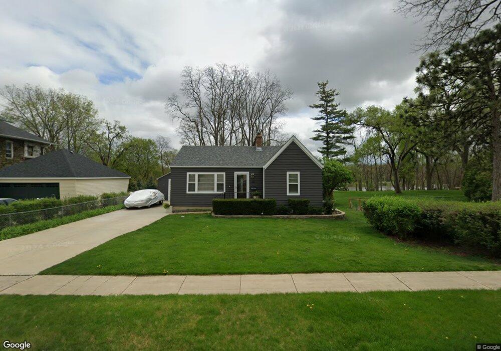
221 S River St Montgomery, IL 60538
Estimated Value: $245,000 - $270,000
2
Beds
1
Bath
960
Sq Ft
$271/Sq Ft
Est. Value
About This Home
This home is located at 221 S River St, Montgomery, IL 60538 and is currently estimated at $260,018, approximately $270 per square foot. 221 S River St is a home located in Kane County with nearby schools including Nicholson Elementary School, Washington Middle School, and West Aurora High School.
Ownership History
Date
Name
Owned For
Owner Type
Purchase Details
Closed on
Dec 5, 2002
Sold by
Elleby John L
Bought by
Krull Michael
Current Estimated Value
Home Financials for this Owner
Home Financials are based on the most recent Mortgage that was taken out on this home.
Original Mortgage
$112,000
Outstanding Balance
$42,477
Interest Rate
4.62%
Mortgage Type
Purchase Money Mortgage
Estimated Equity
$217,541
Purchase Details
Closed on
Jan 25, 2002
Sold by
Tschannen Timothy A
Bought by
Elleby John L
Create a Home Valuation Report for This Property
The Home Valuation Report is an in-depth analysis detailing your home's value as well as a comparison with similar homes in the area
Home Values in the Area
Average Home Value in this Area
Purchase History
| Date | Buyer | Sale Price | Title Company |
|---|---|---|---|
| Krull Michael | $140,000 | Chicago Title Insurance Co | |
| Elleby John L | $130,000 | Chicago Title Insurance Co |
Source: Public Records
Mortgage History
| Date | Status | Borrower | Loan Amount |
|---|---|---|---|
| Open | Krull Michael | $112,000 |
Source: Public Records
Tax History Compared to Growth
Tax History
| Year | Tax Paid | Tax Assessment Tax Assessment Total Assessment is a certain percentage of the fair market value that is determined by local assessors to be the total taxable value of land and additions on the property. | Land | Improvement |
|---|---|---|---|---|
| 2024 | $4,334 | $68,269 | $14,326 | $53,943 |
| 2023 | $4,091 | $60,582 | $12,800 | $47,782 |
| 2022 | $3,967 | $55,276 | $11,679 | $43,597 |
| 2021 | $3,771 | $51,462 | $10,873 | $40,589 |
| 2020 | $3,548 | $47,800 | $10,099 | $37,701 |
| 2019 | $3,425 | $44,288 | $9,357 | $34,931 |
| 2018 | $3,246 | $41,276 | $8,655 | $32,621 |
| 2017 | $2,934 | $36,903 | $7,975 | $28,928 |
| 2016 | $2,613 | $32,537 | $7,196 | $25,341 |
| 2015 | -- | $29,082 | $6,188 | $22,894 |
| 2014 | -- | $28,491 | $5,687 | $22,804 |
| 2013 | -- | $29,293 | $6,038 | $23,255 |
Source: Public Records
Map
Nearby Homes
- 125 S Main St
- 75 Briarcliff Rd
- 170 Montgomery Rd
- 1 Highway 30
- 17 Knollwood Dr Unit 3
- 133 Autumn Rdg Dr
- 1342 Oak Ridge Ln
- 29 Briarcliff Rd
- 1375 Manning Ave
- 1422 Manning Ave
- 1405 Manning Ave
- 1707 Deer Run Dr
- 1417 Manning Ave
- 1022 Sard Ave
- 34 Pembrooke Rd
- 962 Oliver Ave
- 19 Wyndham Dr Unit 10
- 117 Boulder Hill Pass Unit 117
- 1855 Grandview Place Unit 2B
- 37 Fallcreek Cir