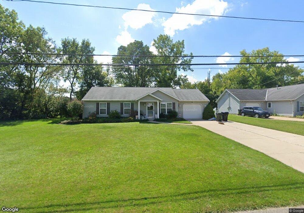
221 Schadden Rd Elyria, OH 44035
Estimated Value: $164,000 - $213,000
2
Beds
2
Baths
1,040
Sq Ft
$172/Sq Ft
Est. Value
About This Home
This home is located at 221 Schadden Rd, Elyria, OH 44035 and is currently estimated at $179,037, approximately $172 per square foot. 221 Schadden Rd is a home located in Lorain County with nearby schools including Crestwood Elementary School, Westwood Middle School, and Elyria High School.
Ownership History
Date
Name
Owned For
Owner Type
Purchase Details
Closed on
Nov 19, 2002
Sold by
Highland Development Company
Bought by
Struhar Cynthia J
Current Estimated Value
Home Financials for this Owner
Home Financials are based on the most recent Mortgage that was taken out on this home.
Original Mortgage
$91,900
Outstanding Balance
$39,511
Interest Rate
6.38%
Estimated Equity
$139,526
Purchase Details
Closed on
May 28, 2002
Sold by
Estate Of Catherine A Yost
Bought by
Yost Dale P and Catherine A Yost Trust
Create a Home Valuation Report for This Property
The Home Valuation Report is an in-depth analysis detailing your home's value as well as a comparison with similar homes in the area
Home Values in the Area
Average Home Value in this Area
Purchase History
| Date | Buyer | Sale Price | Title Company |
|---|---|---|---|
| Struhar Cynthia J | $91,900 | Lorain County Title Co Inc | |
| Highland Development Company | -- | Lorain County Title Co Inc | |
| Yost Dale P | -- | -- |
Source: Public Records
Mortgage History
| Date | Status | Borrower | Loan Amount |
|---|---|---|---|
| Open | Struhar Cynthia J | $91,900 |
Source: Public Records
Tax History
| Year | Tax Paid | Tax Assessment Tax Assessment Total Assessment is a certain percentage of the fair market value that is determined by local assessors to be the total taxable value of land and additions on the property. | Land | Improvement |
|---|---|---|---|---|
| 2024 | $2,229 | $45,969 | $11,911 | $34,059 |
| 2023 | $2,116 | $37,902 | $11,134 | $26,768 |
| 2022 | $2,109 | $37,902 | $11,134 | $26,768 |
| 2021 | $2,114 | $37,902 | $11,134 | $26,768 |
| 2020 | $2,032 | $32,400 | $9,520 | $22,880 |
| 2019 | $2,019 | $32,400 | $9,520 | $22,880 |
| 2018 | $2,071 | $32,400 | $9,520 | $22,880 |
| 2017 | $2,120 | $32,540 | $10,720 | $21,820 |
| 2016 | $2,093 | $32,540 | $10,720 | $21,820 |
| 2015 | $1,963 | $32,540 | $10,720 | $21,820 |
| 2014 | $1,940 | $32,540 | $10,720 | $21,820 |
| 2013 | $1,924 | $32,540 | $10,720 | $21,820 |
Source: Public Records
Map
Nearby Homes
- 416 Deer Crossing
- V/L Rear Land Unit 1
- V/L Rear Land Unit 2
- 5193 Liberty Ave
- 41629 Northwood St
- 5196 Farr Ave
- VL Ridgewood St
- 42953 N Ridge Rd
- 348 Robin Dr
- 4721 Andover Ave
- 6445 Lake Ave
- 114 Timberlane Dr
- 367 Crestview Dr
- 132 Warden Ave
- 42190 Helen St
- 4510 Riverside Dr
- 127 Parmely Ave
- 4434 Riverside Dr
- 4429 Norfolk Ave
- V/L Grove Ave
- 231 Schadden Rd
- 125 Creekfield Ct
- 243 Schadden Rd
- 103 Meadowfield Ct
- 121 Creekfield Ct
- 232 Schadden Rd
- 247 Schadden Rd
- 220 Schadden Rd
- 240 Schadden Rd
- 115 Meadowfield Ct
- 251 Schadden Rd
- 113 Creekfield Ct
- 255 Schadden Rd
- 129 Schadden Rd
- 105 Creekfield Ct
- 112 Meadowfield Ct
- 125 Schadden Rd
- 118 Creekfield Ct
- 118 Meadowfield Ct
- 128 Schadden Rd
Your Personal Tour Guide
Ask me questions while you tour the home.