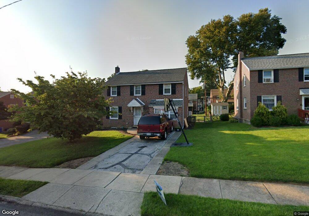
221 Signal Rd Drexel Hill, PA 19026
Estimated Value: $439,811 - $512,000
3
Beds
2
Baths
1,396
Sq Ft
$344/Sq Ft
Est. Value
About This Home
This home is located at 221 Signal Rd, Drexel Hill, PA 19026 and is currently estimated at $480,703, approximately $344 per square foot. 221 Signal Rd is a home located in Delaware County with nearby schools including Manoa Elementary School, Haverford Middle School, and Haverford Senior High School.
Ownership History
Date
Name
Owned For
Owner Type
Purchase Details
Closed on
Feb 19, 2024
Sold by
Noonan Charles M and Noonan Danielle K
Bought by
Noonan Charles M
Current Estimated Value
Purchase Details
Closed on
Mar 16, 2007
Sold by
Cantagallo Raymond E and The Raymond Cantagallo Trust
Bought by
Noonan Charles M and Noonan Danielle K
Home Financials for this Owner
Home Financials are based on the most recent Mortgage that was taken out on this home.
Original Mortgage
$231,900
Interest Rate
6.33%
Mortgage Type
Purchase Money Mortgage
Purchase Details
Closed on
May 6, 1998
Sold by
Cantagallo Raymond E and Cantagallo Frances
Bought by
Cantagallo Raymond E and Cantagallo Frances
Create a Home Valuation Report for This Property
The Home Valuation Report is an in-depth analysis detailing your home's value as well as a comparison with similar homes in the area
Home Values in the Area
Average Home Value in this Area
Purchase History
| Date | Buyer | Sale Price | Title Company |
|---|---|---|---|
| Noonan Charles M | -- | None Listed On Document | |
| Noonan Charles M | $289,900 | None Available | |
| Cantagallo Raymond E | -- | -- |
Source: Public Records
Mortgage History
| Date | Status | Borrower | Loan Amount |
|---|---|---|---|
| Previous Owner | Noonan Charles M | $231,900 |
Source: Public Records
Tax History Compared to Growth
Tax History
| Year | Tax Paid | Tax Assessment Tax Assessment Total Assessment is a certain percentage of the fair market value that is determined by local assessors to be the total taxable value of land and additions on the property. | Land | Improvement |
|---|---|---|---|---|
| 2025 | $6,892 | $268,060 | $96,190 | $171,870 |
| 2024 | $6,892 | $268,060 | $96,190 | $171,870 |
| 2023 | $6,697 | $268,060 | $96,190 | $171,870 |
| 2022 | $6,540 | $268,060 | $96,190 | $171,870 |
| 2021 | $10,655 | $268,060 | $96,190 | $171,870 |
| 2020 | $6,004 | $129,180 | $51,620 | $77,560 |
| 2019 | $5,893 | $129,180 | $51,620 | $77,560 |
| 2018 | $5,792 | $129,180 | $0 | $0 |
| 2017 | $5,670 | $129,180 | $0 | $0 |
| 2016 | $709 | $129,180 | $0 | $0 |
| 2015 | $723 | $129,180 | $0 | $0 |
| 2014 | $709 | $129,180 | $0 | $0 |
Source: Public Records
Map
Nearby Homes
- 181 Friendship Rd
- 505 Glendale Rd
- 736 Timber Trail Ln
- 104 Treaty Rd
- 5042 Sylvia Rd
- 5233 Arrowhead Ln
- 414 Stanfield Rd
- 921 Addingham Ave
- 4938 State Rd
- 530 Hempstead Rd
- 333 Sussex Blvd
- 412 N Rolling Rd
- 1042 Blythe Ave
- 429 Portland Dr
- 920 Alexander Ave
- 516 Portland Dr
- 416 Warren Blvd
- 1029 Belfield Ave
- 833 Anderson Ave
- 837 Alexander Ave
- 225 Signal Rd
- 217 Signal Rd
- 229 Signal Rd
- 213 Signal Rd
- 216 Flintlock Rd
- 220 Flintlock Rd
- 212 Flintlock Rd
- 224 Flintlock Rd
- 220 Signal Rd
- 224 Signal Rd
- 233 Signal Rd
- 209 Signal Rd
- 208 Flintlock Rd
- 216 Signal Rd
- 228 Flintlock Rd
- 228 Signal Rd
- 212 Signal Rd
- 204 Flintlock Rd
- 237 Signal Rd
- 232 Flintlock Rd