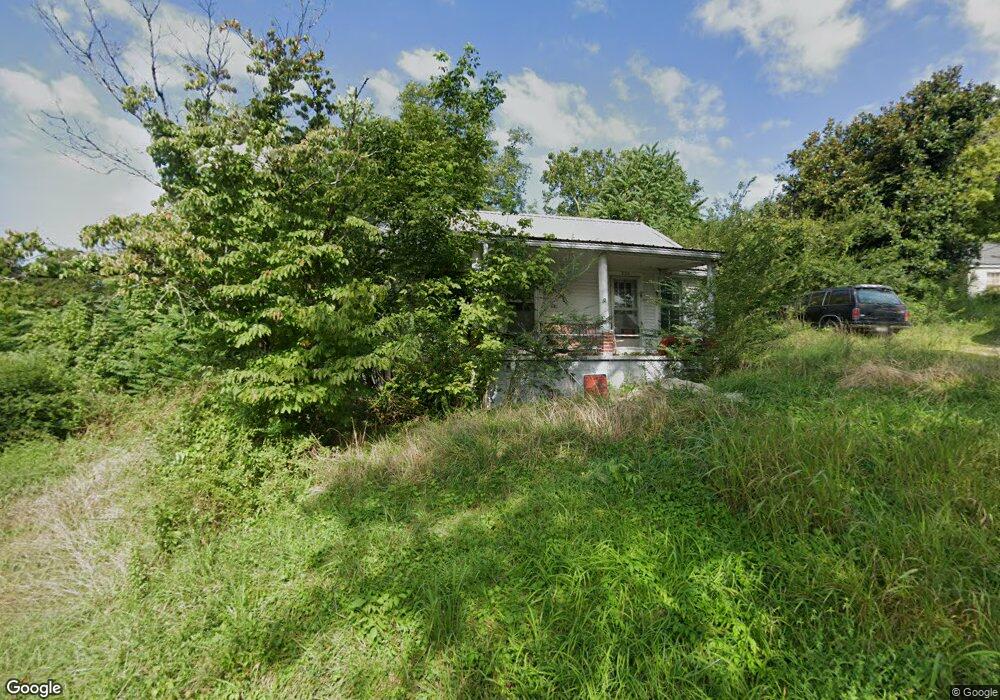
221 Sparkman St Sparta, TN 38583
Estimated Value: $62,000 - $182,000
--
Bed
1
Bath
891
Sq Ft
$136/Sq Ft
Est. Value
About This Home
This home is located at 221 Sparkman St, Sparta, TN 38583 and is currently estimated at $121,432, approximately $136 per square foot. 221 Sparkman St is a home located in White County with nearby schools including Woodland Park Elementary School, White County Middle School, and White County High School.
Ownership History
Date
Name
Owned For
Owner Type
Purchase Details
Closed on
Jul 28, 2025
Sold by
Whited Pierce and Whited Parker
Bought by
Davis Tim
Current Estimated Value
Purchase Details
Closed on
Oct 22, 2021
Sold by
Driver Treva and Driver Paul
Bought by
Whited Pierce and Whited Parker
Purchase Details
Closed on
Mar 31, 2014
Sold by
Driver Paul
Bought by
Driver Paul
Purchase Details
Closed on
Feb 8, 1986
Bought by
Driver Thurman Lee
Create a Home Valuation Report for This Property
The Home Valuation Report is an in-depth analysis detailing your home's value as well as a comparison with similar homes in the area
Home Values in the Area
Average Home Value in this Area
Purchase History
| Date | Buyer | Sale Price | Title Company |
|---|---|---|---|
| Davis Tim | $62,040 | None Listed On Document | |
| Whited Pierce | $50,000 | None Available | |
| Driver Paul | -- | -- | |
| Driver Thurman Lee | -- | -- |
Source: Public Records
Tax History Compared to Growth
Tax History
| Year | Tax Paid | Tax Assessment Tax Assessment Total Assessment is a certain percentage of the fair market value that is determined by local assessors to be the total taxable value of land and additions on the property. | Land | Improvement |
|---|---|---|---|---|
| 2025 | -- | $16,250 | $0 | $0 |
| 2024 | -- | $8,550 | $1,875 | $6,675 |
| 2023 | $175 | $8,550 | $1,875 | $6,675 |
| 2022 | $254 | $8,550 | $1,875 | $6,675 |
| 2021 | $254 | $8,550 | $1,875 | $6,675 |
| 2020 | $254 | $8,550 | $1,875 | $6,675 |
| 2019 | $243 | $7,850 | $1,500 | $6,350 |
| 2018 | $243 | $7,850 | $1,500 | $6,350 |
| 2017 | $243 | $7,850 | $1,500 | $6,350 |
| 2016 | $243 | $7,850 | $1,500 | $6,350 |
| 2015 | $228 | $7,850 | $1,500 | $6,350 |
| 2014 | -- | $7,850 | $1,500 | $6,350 |
| 2013 | -- | $6,725 | $1,500 | $5,225 |
Source: Public Records
Map
Nearby Homes
- 0 N Main St
- Lot 3 & 4 Harbor Green Place
- 119 Walker St
- 227 Oakwood St
- 115 Baker St
- 7 Marshall St
- 0 E Bockman Way
- 107 N Main St
- 112 N Church St
- 330 Flatt St
- 147 Sunrise Ridge Dr
- 105 N Church St
- 00 E Bockman Way
- 0 Oakwood St
- 18 N Church St
- 560 Harley's Ridge
- 612 Harleys Ridge
- Lot 3&4 Harbor Green Place
- 311 Officer Dr
- 316 Gaines St
- 225 Sparkman St
- 203 Virginia Ave
- 201 Helen Place
- 231 Sparkman St
- 203 Helen Place
- 204 Virginia Ave
- 205 Sparkman St
- 209 Virginia Ave
- 217 Virginia Ave
- 223 Virginia Ave
- 225 Virginia Ave
- 208 Virginia Ave
- 210 Pleasant St
- 114 E Bronson St
- 126 E Bronson St
- 0 N Main Street St
- 0.432 N Main St
- 232 Sparkman St
- 116 E Bronson St
- 229 Virginia Ave