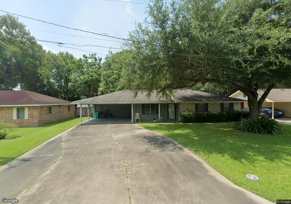
221 Thayer Ave Eunice, LA 70535
Estimated Value: $120,000 - $238,000
Studio
--
Bath
--
Sq Ft
7,797
Sq Ft Lot
About This Home
This home is located at 221 Thayer Ave, Eunice, LA 70535 and is currently estimated at $179,121. 221 Thayer Ave is a home located in St. Landry Parish with nearby schools including Eunice Elementary School, Eunice Junior High School, and Central Middle School.
Ownership History
Date
Name
Owned For
Owner Type
Purchase Details
Closed on
Nov 17, 2015
Sold by
Manuel Janice Landry and Tremie Annette Landry
Bought by
Brinkman Jerrel Ray
Current Estimated Value
Home Financials for this Owner
Home Financials are based on the most recent Mortgage that was taken out on this home.
Original Mortgage
$111,250
Outstanding Balance
$87,563
Interest Rate
3.81%
Mortgage Type
Stand Alone First
Estimated Equity
$91,558
Purchase Details
Closed on
Nov 7, 2012
Sold by
Grace P Knighten Compliant Irrevocable T
Bought by
Manuel Janice Landry and Tremie Annette Landry
Create a Home Valuation Report for This Property
The Home Valuation Report is an in-depth analysis detailing your home's value as well as a comparison with similar homes in the area
Purchase History
| Date | Buyer | Sale Price | Title Company |
|---|---|---|---|
| Brinkman Jerrel Ray | $125,000 | -- | |
| Manuel Janice Landry | $119,000 | -- |
Source: Public Records
Mortgage History
| Date | Status | Borrower | Loan Amount |
|---|---|---|---|
| Open | Brinkman Jerrel Ray | $111,250 |
Source: Public Records
Tax History
| Year | Tax Paid | Tax Assessment Tax Assessment Total Assessment is a certain percentage of the fair market value that is determined by local assessors to be the total taxable value of land and additions on the property. | Land | Improvement |
|---|---|---|---|---|
| 2024 | $6 | $12,980 | $1,990 | $10,990 |
| 2023 | $565 | $12,980 | $1,990 | $10,990 |
| 2022 | $565 | $12,980 | $1,990 | $10,990 |
| 2021 | $565 | $12,980 | $1,990 | $10,990 |
| 2020 | $558 | $12,980 | $1,990 | $10,990 |
| 2019 | $516 | $11,840 | $1,470 | $10,370 |
| 2018 | $516 | $11,840 | $1,470 | $10,370 |
| 2017 | $516 | $11,840 | $1,470 | $10,370 |
| 2015 | $489 | $11,310 | $1,460 | $9,850 |
| 2013 | $489 | $11,310 | $1,460 | $9,850 |
Source: Public Records
Map
Nearby Homes
- 200 Thayer Ave
- 1350 College Rd
- 1311 Bruce Ave
- 1240 B and B Ave
- 99 University Place
- 420 Juanita St
- 0 Savannah Unit SWL25001182
- Tbd Savannah St
- 1230 Phillip Ave
- 221 College Rd
- 0 W Maple Ave
- 104 Hunter St
- 1480 W Oak Ave
- 1820 Betty St
- 300 Boudreaux St
- 151 Dulles St
- 530 S 4th St
- 231 Eula St
- 142 E Ardoin St
- 121 N 9th St
Your Personal Tour Guide
Ask me questions while you tour the home.