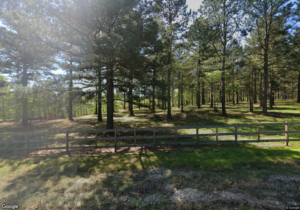
221 W Colonel Glenn Rd Little Rock, AR 72210
Estimated Value: $587,000 - $700,000
--
Bed
--
Bath
3,628
Sq Ft
$179/Sq Ft
Est. Value
About This Home
This home is located at 221 W Colonel Glenn Rd, Little Rock, AR 72210 and is currently estimated at $650,843, approximately $179 per square foot. 221 W Colonel Glenn Rd is a home with nearby schools including Lawson Elementary School, Joe T. Robinson Middle School, and Joe T. Robinson High School.
Ownership History
Date
Name
Owned For
Owner Type
Purchase Details
Closed on
Dec 15, 2016
Sold by
Weaver Matthew W and Weaver Virginia C
Bought by
Matthew And Virginia Weaver Family Trust
Current Estimated Value
Purchase Details
Closed on
Dec 20, 2005
Sold by
Tolleson Land & Timber Inc
Bought by
Weaver Matthew W and Weaver Virginia C
Purchase Details
Closed on
Nov 20, 2003
Bought by
Tolleson Inc
Purchase Details
Closed on
Jun 3, 2003
Bought by
Tolleson Land
Purchase Details
Closed on
May 7, 2003
Bought by
Tolleson Land and Tolleson Timber
Purchase Details
Closed on
Mar 30, 2003
Bought by
Tolleson & Timber Land
Purchase Details
Closed on
Sep 21, 2000
Bought by
S P
Purchase Details
Closed on
Jun 22, 1998
Bought by
Sustainable
Create a Home Valuation Report for This Property
The Home Valuation Report is an in-depth analysis detailing your home's value as well as a comparison with similar homes in the area
Home Values in the Area
Average Home Value in this Area
Purchase History
| Date | Buyer | Sale Price | Title Company |
|---|---|---|---|
| Matthew And Virginia Weaver Family Trust | -- | None Available | |
| Weaver Matthew W | $40,000 | -- | |
| Tolleson Inc | -- | -- | |
| Tolleson Land | -- | -- | |
| Tolleson Land | -- | -- | |
| Tolleson & Timber Land | $8,587,000 | -- | |
| S P | $2,691,700 | -- | |
| Sustainable | $9,790,000 | -- |
Source: Public Records
Tax History Compared to Growth
Tax History
| Year | Tax Paid | Tax Assessment Tax Assessment Total Assessment is a certain percentage of the fair market value that is determined by local assessors to be the total taxable value of land and additions on the property. | Land | Improvement |
|---|---|---|---|---|
| 2025 | $4,558 | $109,901 | $26,810 | $83,091 |
| 2024 | $4,558 | $109,901 | $26,810 | $83,091 |
| 2023 | $4,030 | $109,901 | $26,810 | $83,091 |
| 2022 | $3,837 | $109,901 | $26,810 | $83,091 |
| 2021 | $3,638 | $78,640 | $13,400 | $65,240 |
| 2020 | $3,638 | $78,640 | $13,400 | $65,240 |
| 2019 | $3,638 | $78,640 | $13,400 | $65,240 |
| 2018 | $3,493 | $78,640 | $13,400 | $65,240 |
| 2017 | $3,320 | $78,640 | $13,400 | $65,240 |
| 2016 | $3,196 | $63,410 | $13,400 | $50,010 |
| 2015 | $23 | $420 | $420 | $0 |
| 2014 | $23 | $420 | $420 | $0 |
Source: Public Records
Map
Nearby Homes
- 466 Rock Ridge Rd
- 12433 Raindrop Ln
- 000 W Colonel Glenn Rd
- 1516 E Lawson Rd Unit 1512
- 20377 Congo Ferndale Rd
- 1560 Lawson Oaks Dr
- 0 Serenity Dr
- 220 W Lawson Rd
- 24923 Colonel Glenn Rd
- 1703 Crested Butte Cir
- 2091 Ferndale Cove
- 211 County Line Rd
- 457 Judah Ln
- Lot 4 Barry Ln
- Lot 3 Barry Ln
- Lot 2 Barry Ln
- Lot 1 Barry Ln
- 544 Reuben Dr
- 000 Big Ridge Cove
- 464 Reuben Dr
- 323 W Colonel Glenn Rd
- 18453 Congo Ferndale Rd
- Lot 35 Glenwood Springs
- 18827 Congo Ferndale Rd
- Lot 21 Glenwood Springs Dr
- 17981 Congo Ferndale Rd
- Lot 33 Glenwood Springs
- 18789 Congo Ferndale Rd
- Lot 22 Glenwood Springs Dr
- 18805 Congo Ferndale Rd
- W Colonel Glenn
- 234 W Colonel Glenn Rd
- 322 W Colonel Glenn Rd
- 1099 W Colonel Glenn Rd
- 110 Coyote Cove
- Lot 128 Lochridge Estates
- 235 W Colonel Glenn Rd Unit Tract 4 W. Colonel G
- 211 Rock Ridge Rd
- 18626 Congo Rd
- 18626 Congo Ferndale Rd