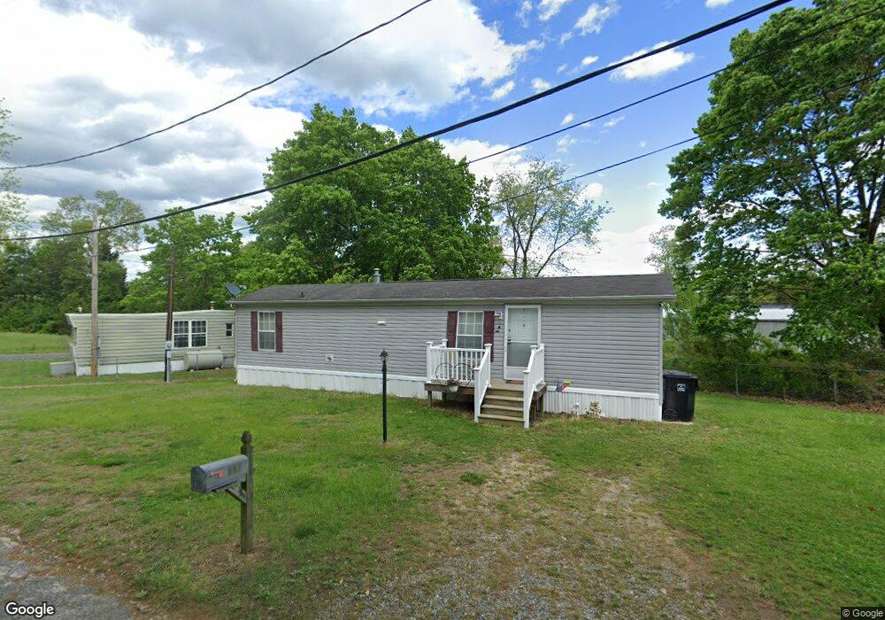
221 W Landing Rd Mantua, NJ 08051
Mantua Township NeighborhoodEstimated Value: $109,000 - $187,000
--
Bed
--
Bath
598
Sq Ft
$243/Sq Ft
Est. Value
About This Home
This home is located at 221 W Landing Rd, Mantua, NJ 08051 and is currently estimated at $145,331, approximately $243 per square foot. 221 W Landing Rd is a home located in Gloucester County with nearby schools including Centre City School, Clearview Regional Middle School, and Clearview Regional High School.
Ownership History
Date
Name
Owned For
Owner Type
Purchase Details
Closed on
Aug 26, 2005
Sold by
Bonaventure Elizabeth D
Bought by
Conover Debra
Current Estimated Value
Purchase Details
Closed on
Oct 30, 2000
Sold by
Estate Of Ronald W Denham
Bought by
Bonaventure Elizabeth D
Create a Home Valuation Report for This Property
The Home Valuation Report is an in-depth analysis detailing your home's value as well as a comparison with similar homes in the area
Home Values in the Area
Average Home Value in this Area
Purchase History
| Date | Buyer | Sale Price | Title Company |
|---|---|---|---|
| Conover Debra | $15,000 | Group 21 | |
| Bonaventure Elizabeth D | $10,000 | Fidelity National Title Ins |
Source: Public Records
Tax History Compared to Growth
Tax History
| Year | Tax Paid | Tax Assessment Tax Assessment Total Assessment is a certain percentage of the fair market value that is determined by local assessors to be the total taxable value of land and additions on the property. | Land | Improvement |
|---|---|---|---|---|
| 2025 | $2,155 | $83,700 | $40,000 | $43,700 |
| 2024 | $2,133 | $83,700 | $40,000 | $43,700 |
| 2023 | $2,133 | $83,700 | $40,000 | $43,700 |
| 2022 | $1,952 | $55,800 | $28,300 | $27,500 |
| 2021 | $1,966 | $55,800 | $28,300 | $27,500 |
| 2020 | $1,951 | $55,800 | $28,300 | $27,500 |
| 2019 | $1,918 | $55,800 | $28,300 | $27,500 |
| 2018 | $1,891 | $55,800 | $28,300 | $27,500 |
| 2017 | $1,862 | $55,800 | $28,300 | $27,500 |
| 2016 | $1,841 | $55,800 | $28,300 | $27,500 |
| 2015 | $1,796 | $55,800 | $28,300 | $27,500 |
| 2014 | $1,735 | $55,800 | $28,300 | $27,500 |
Source: Public Records
Map
Nearby Homes
- 261 Tony Cir
- 1433 Tristram Cir
- 204 W Landing Rd
- 19 Marathon Dr
- 325 Bridgeton Pike
- 485 Harrison Ave
- 36 Bluebird Rd
- 190 Mockingbird Ln
- 131 Firth Dr
- 205 Redbud Ln Unit 205
- 1147 Tristram Cir Unit 1147
- 1145 Tristram Cir
- 1215 Tristram Cir
- 119 Monroe Ave
- 155 Whippoorwill Way
- 433 Berkley Rd
- 8 Barry Dr
- 106 Firth Dr
- 1134 Tristram Cir Unit 4
- 465 Berkley Rd
- 24 Lincoln Ave
- 219 Appleblossom Ln
- 27 Monroe Ave
- 36 Lincoln Ave
- 217 Appleblossom Ln
- 31 Monroe Ave
- 40 Lincoln Ave
- 264 Tony Cir
- 262 Tony Cir
- 35 Monroe Ave
- 268 Tony Cir
- 218 Appleblossom Ln
- 39 Monroe Ave
- 215 Appleblossom Ln
- 256 Tony Cir
- 266 Tony Cir
- 48 Lincoln Ave
- 740 Quest Ct
- 738 Quest Ct Unit 738
- 0 Monroe Ave