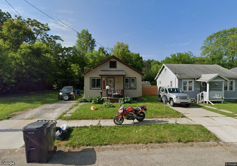
221 W Piper Ave Flint, MI 48505
MLK Circle NeighborhoodEstimated Value: $39,000 - $44,000
2
Beds
1
Bath
572
Sq Ft
$71/Sq Ft
Est. Value
About This Home
This home is located at 221 W Piper Ave, Flint, MI 48505 and is currently estimated at $40,645, approximately $71 per square foot. 221 W Piper Ave is a home located in Genesee County with nearby schools including Brownell STEM Academy, The New Standard Academy, and Eagle's Nest Academy.
Ownership History
Date
Name
Owned For
Owner Type
Purchase Details
Closed on
Feb 8, 2018
Sold by
Genesee County Bank Authority
Bought by
Fells Jacqueline
Current Estimated Value
Purchase Details
Closed on
Dec 17, 2015
Sold by
Genesee County
Bought by
Genesee County Land Bank
Purchase Details
Closed on
Apr 11, 2012
Sold by
Davis Daphnie
Bought by
Talley Shaday
Purchase Details
Closed on
Dec 30, 2011
Sold by
Davis Daphnie
Bought by
Talley Shardaye T
Purchase Details
Closed on
Mar 15, 2009
Sold by
Davis Joe Ann
Bought by
Davis Daphnie
Create a Home Valuation Report for This Property
The Home Valuation Report is an in-depth analysis detailing your home's value as well as a comparison with similar homes in the area
Home Values in the Area
Average Home Value in this Area
Purchase History
| Date | Buyer | Sale Price | Title Company |
|---|---|---|---|
| Fells Jacqueline | $1,500 | None Available | |
| Genesee County Land Bank | -- | None Available | |
| Talley Shaday | -- | Cislo Title Company | |
| Talley Shardaye T | -- | Cislo Title Company | |
| Davis Daphnie | $500 | Cislo Title Company |
Source: Public Records
Tax History Compared to Growth
Tax History
| Year | Tax Paid | Tax Assessment Tax Assessment Total Assessment is a certain percentage of the fair market value that is determined by local assessors to be the total taxable value of land and additions on the property. | Land | Improvement |
|---|---|---|---|---|
| 2025 | $496 | $6,400 | $0 | $0 |
| 2024 | $474 | $5,100 | $0 | $0 |
| 2023 | $475 | $3,900 | $0 | $0 |
| 2022 | $0 | $3,000 | $0 | $0 |
| 2021 | $515 | $3,600 | $0 | $0 |
| 2020 | $488 | $3,400 | $0 | $0 |
| 2019 | $488 | $3,300 | $0 | $0 |
| 2018 | $0 | $0 | $0 | $0 |
| 2017 | $2,023 | $0 | $0 | $0 |
| 2016 | $0 | $0 | $0 | $0 |
| 2015 | -- | $0 | $0 | $0 |
| 2014 | -- | $0 | $0 | $0 |
| 2012 | -- | $3,400 | $0 | $0 |
Source: Public Records
Map
Nearby Homes
- 536 W Home Ave
- 405 W Lorado Ave
- 610 W Austin Ave
- 618 W Austin Ave
- 5714 Suburban Ct
- 225 E Piper Ave
- 605 W Foss Ave
- 613 W Foss Ave
- 614 W Holbrook Ave
- 6610 Cranwood Dr
- 5610 Baldwin Blvd
- 6702 Cranwood Dr
- 405 W Bundy Ave
- 345 E Austin Ave
- 525 W Bundy Ave
- 5210 Dupont St
- 5318 Baldwin Blvd
- 350 E Mott Ave
- 525 W Pulaski Ave
- 421 E Lorado Ave
- 217 W Piper Ave
- 225 W Piper Ave
- 213 W Piper Ave
- 222 W Home Ave
- 226 W Home Ave
- 209 W Piper Ave
- 229 W Piper Ave
- 302 W Home Ave
- 222 W Piper Ave
- 306 W Home Ave
- 205 W Piper Ave
- 226 W Piper Ave
- 302 W Piper Ave
- 204 W Home Ave
- 306 W Piper Ave
- 201 W Piper Ave
- 310 W Piper Ave
- 127 W Piper Ave
- 202 W Piper Ave
- 128 W Home Ave