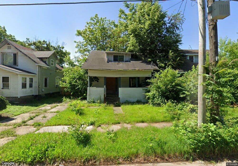
221 W Tobias St Flint, MI 48503
Southside Business District NeighborhoodEstimated Value: $40,000 - $62,000
3
Beds
1
Bath
924
Sq Ft
$52/Sq Ft
Est. Value
About This Home
This home is located at 221 W Tobias St, Flint, MI 48503 and is currently estimated at $47,841, approximately $51 per square foot. 221 W Tobias St is a home located in Genesee County with nearby schools including Freeman Elementary School, Flint Southwestern Classical Academy, and International Academy of Flint (K-12).
Ownership History
Date
Name
Owned For
Owner Type
Purchase Details
Closed on
Dec 19, 2019
Sold by
Genesee County Treasurer
Bought by
Genesee County Land Bank Authority
Current Estimated Value
Purchase Details
Closed on
Nov 6, 2009
Sold by
Tomcala John F and Tomcala Catherine A
Bought by
D A W K Llc
Purchase Details
Closed on
Nov 5, 2009
Sold by
Rettenmund Larry R and Rettenmund Bethany
Bought by
Tomcala John
Purchase Details
Closed on
Mar 8, 2006
Sold by
Gary Goad Realty Llc
Bought by
Rettenmund Larry R
Purchase Details
Closed on
Aug 2, 1999
Sold by
Sprague Gerard and Sprague Marla J
Bought by
Sassini Antoine M
Create a Home Valuation Report for This Property
The Home Valuation Report is an in-depth analysis detailing your home's value as well as a comparison with similar homes in the area
Home Values in the Area
Average Home Value in this Area
Purchase History
| Date | Buyer | Sale Price | Title Company |
|---|---|---|---|
| Genesee County Land Bank Authority | -- | None Available | |
| D A W K Llc | -- | Sargents Title Company | |
| Tomcala John | $8,000 | Lighthouse Title Inc | |
| Rettenmund Larry R | $35,000 | Crossroads Title Agency | |
| Sassini Antoine M | $15,500 | First American Title |
Source: Public Records
Tax History Compared to Growth
Tax History
| Year | Tax Paid | Tax Assessment Tax Assessment Total Assessment is a certain percentage of the fair market value that is determined by local assessors to be the total taxable value of land and additions on the property. | Land | Improvement |
|---|---|---|---|---|
| 2025 | -- | $0 | $0 | $0 |
| 2024 | -- | $0 | $0 | $0 |
| 2023 | -- | $0 | $0 | $0 |
| 2022 | $0 | $0 | $0 | $0 |
| 2021 | $0 | $0 | $0 | $0 |
| 2020 | $268 | $0 | $0 | $0 |
| 2019 | $565 | $5,500 | $0 | $0 |
| 2018 | $529 | $5,900 | $0 | $0 |
| 2017 | $519 | $0 | $0 | $0 |
| 2016 | $516 | $0 | $0 | $0 |
| 2015 | -- | $0 | $0 | $0 |
| 2014 | -- | $0 | $0 | $0 |
| 2012 | -- | $5,800 | $0 | $0 |
Source: Public Records
Map
Nearby Homes
- 133 E Oakley St
- 639 Monroe St
- 618 Barrie Ave
- 647 Monroe St
- 517 Morley Ave
- 657 Barrie Ave
- 213 E Lakeview Ave
- 115 E Livingston Dr
- 734 Barrie Ave
- 615 Freeman Ave
- 3214 S Grand Traverse St
- 619 Freeman Ave
- 741 Barrie Ave
- 812 Remington Ave
- 2121 Dwight Ave
- 2050 Ferris Ave
- 420 Pingree Ave
- 2224 Crocker Ave
- 1517 Tacoma St
- 730 Freeman Ave
- 225 W Tobias St
- 217 W Tobias St
- 213 W Tobias St
- 209 W Tobias St
- 2607 Dawson St
- 218 W Linsey Blvd
- 226 W Linsey Blvd
- 212 W Tobias St
- 228 W Linsey Blvd
- 210 W Linsey Blvd
- 201 W Tobias St
- 2613 Dawson St
- 214 W Linsey Blvd
- 138 W Tobias St
- 206 W Linsey Blvd
- 308 W Tobias St
- 133 W Tobias St
- 134 W Tobias St
- 312 W Tobias St
- 129 W Tobias St