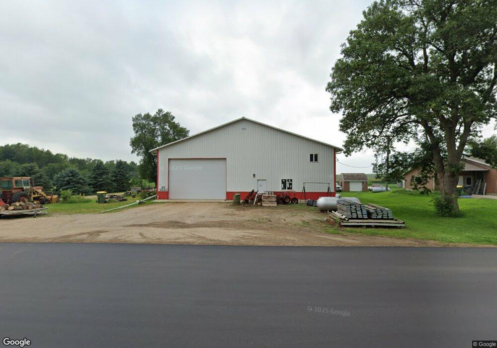
221 West St N Woodstock, MN 56186
Estimated Value: $97,000 - $146,119
3
Beds
2
Baths
1,020
Sq Ft
$112/Sq Ft
Est. Value
About This Home
This home is located at 221 West St N, Woodstock, MN 56186 and is currently estimated at $114,280, approximately $112 per square foot. 221 West St N is a home located in Pipestone County with nearby schools including Brown Elementary School, Pipestone Elementary School, and Heartland Elementary School.
Ownership History
Date
Name
Owned For
Owner Type
Purchase Details
Closed on
May 4, 2022
Sold by
Adams Jonathan S
Bought by
Olson Andrew John
Current Estimated Value
Home Financials for this Owner
Home Financials are based on the most recent Mortgage that was taken out on this home.
Original Mortgage
$137,373
Outstanding Balance
$130,205
Interest Rate
5%
Mortgage Type
New Conventional
Estimated Equity
-$15,925
Create a Home Valuation Report for This Property
The Home Valuation Report is an in-depth analysis detailing your home's value as well as a comparison with similar homes in the area
Home Values in the Area
Average Home Value in this Area
Purchase History
| Date | Buyer | Sale Price | Title Company |
|---|---|---|---|
| Olson Andrew John | $136,000 | None Listed On Document |
Source: Public Records
Mortgage History
| Date | Status | Borrower | Loan Amount |
|---|---|---|---|
| Open | Olson Andrew John | $137,373 |
Source: Public Records
Tax History Compared to Growth
Tax History
| Year | Tax Paid | Tax Assessment Tax Assessment Total Assessment is a certain percentage of the fair market value that is determined by local assessors to be the total taxable value of land and additions on the property. | Land | Improvement |
|---|---|---|---|---|
| 2025 | $816 | $110,500 | $7,100 | $103,400 |
| 2024 | $816 | $69,900 | $6,800 | $63,100 |
| 2023 | $454 | $61,600 | $6,800 | $54,800 |
| 2022 | $368 | $34,200 | $4,600 | $29,600 |
| 2021 | $344 | $25,500 | $3,200 | $22,300 |
| 2020 | $360 | $24,600 | $3,200 | $21,400 |
| 2019 | $344 | $26,300 | $2,600 | $23,700 |
| 2018 | $382 | $24,700 | $2,600 | $22,100 |
| 2017 | $406 | $27,700 | $2,600 | $25,100 |
| 2016 | $446 | $0 | $0 | $0 |
| 2015 | $420 | $21,400 | $1,563 | $19,837 |
| 2014 | $420 | $21,400 | $1,559 | $19,841 |
Source: Public Records
Map
Nearby Homes
- 640 3rd Ave
- TBD 2nd Ave
- 1336 State Highway 30
- 1540 10th Ave
- 000 County Road 16
- 101 1st St W
- 501 Hillcrest St
- 571 Hillcrest St
- 421 W 7th Ave
- 600 Hillcrest St
- 551 Hillcrest St
- 580 Hillcrest St
- 561 Hillcrest St
- 511 Hillcrest St
- 230 Prairie St
- 000 County Rd 16
- 638 111th St
- 160 Acres Farmland Section 11
- Tbd 121st St
- 1278 41st St