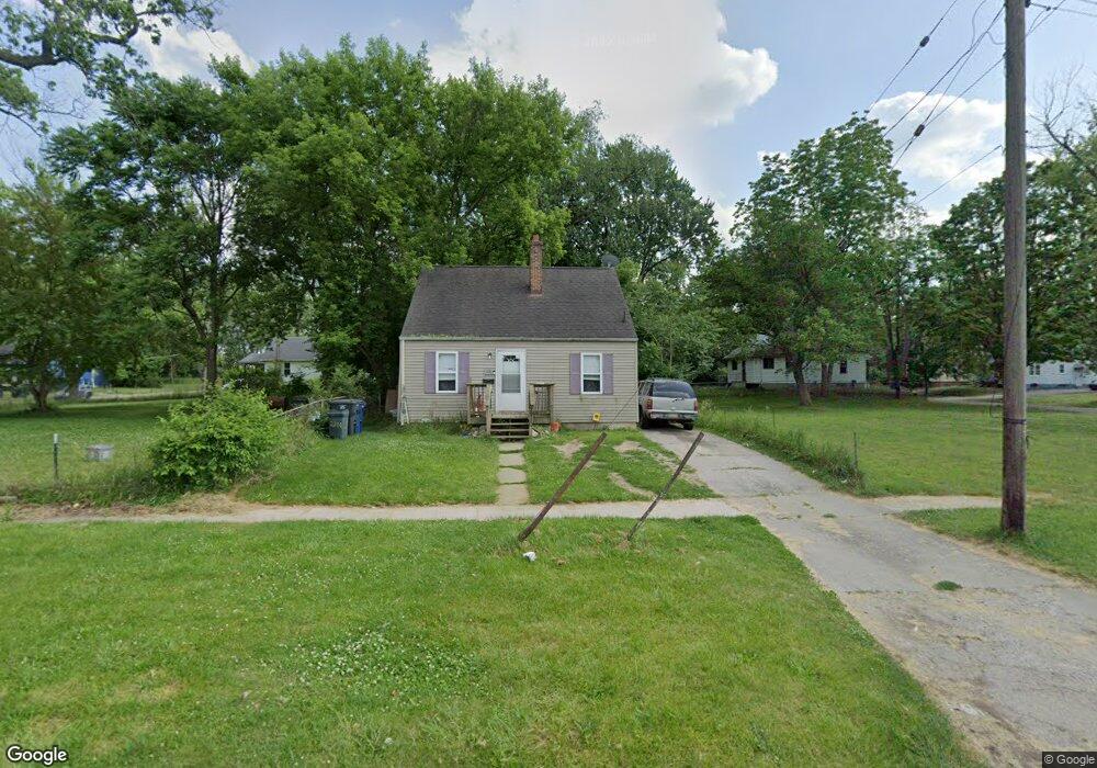
2210 Broadway Blvd Flint, MI 48506
Eastside NeighborhoodEstimated Value: $26,000 - $67,000
3
Beds
1
Bath
910
Sq Ft
$48/Sq Ft
Est. Value
About This Home
This home is located at 2210 Broadway Blvd, Flint, MI 48506 and is currently estimated at $44,003, approximately $48 per square foot. 2210 Broadway Blvd is a home located in Genesee County with nearby schools including Potter School, Flint Cultural Center Academy, and WAY Academy of Flint.
Ownership History
Date
Name
Owned For
Owner Type
Purchase Details
Closed on
May 16, 2019
Sold by
Psr Property Holdings Llc
Bought by
Guy Eric and Searcy Krystle
Current Estimated Value
Purchase Details
Closed on
Oct 28, 2010
Sold by
Smith Kevin and Smith Amanda
Bought by
Psr Property Holdings Llc
Purchase Details
Closed on
Jun 1, 2005
Sold by
Fredell Gary R and Fredell Victoria A
Bought by
Wells Fargo Bank Na and Option One Mortgage Loan Trust 2002-A As
Purchase Details
Closed on
Feb 7, 2002
Sold by
Fredell Victoria A
Bought by
Fredell Gary R and Fredell Victoria A
Home Financials for this Owner
Home Financials are based on the most recent Mortgage that was taken out on this home.
Original Mortgage
$52,250
Interest Rate
7.85%
Create a Home Valuation Report for This Property
The Home Valuation Report is an in-depth analysis detailing your home's value as well as a comparison with similar homes in the area
Home Values in the Area
Average Home Value in this Area
Purchase History
| Date | Buyer | Sale Price | Title Company |
|---|---|---|---|
| Guy Eric | $2,000 | Cislo Ttl Co Ttl Ins & Escro | |
| Psr Property Holdings Llc | $170,000 | Cislo Title Co | |
| Wells Fargo Bank Na | $54,456 | -- | |
| Fredell Gary R | -- | Cislo Title Company |
Source: Public Records
Mortgage History
| Date | Status | Borrower | Loan Amount |
|---|---|---|---|
| Previous Owner | Fredell Gary R | $52,250 |
Source: Public Records
Tax History
| Year | Tax Paid | Tax Assessment Tax Assessment Total Assessment is a certain percentage of the fair market value that is determined by local assessors to be the total taxable value of land and additions on the property. | Land | Improvement |
|---|---|---|---|---|
| 2025 | $782 | $15,000 | $0 | $0 |
| 2024 | $715 | $13,900 | $0 | $0 |
| 2023 | $707 | $12,200 | $0 | $0 |
| 2022 | $0 | $9,800 | $0 | $0 |
| 2021 | $730 | $9,400 | $0 | $0 |
| 2020 | $665 | $8,400 | $0 | $0 |
| 2019 | $487 | $7,100 | $0 | $0 |
| 2018 | $535 | $5,100 | $0 | $0 |
| 2017 | $524 | $0 | $0 | $0 |
| 2016 | $537 | $0 | $0 | $0 |
| 2015 | -- | $0 | $0 | $0 |
| 2014 | -- | $0 | $0 | $0 |
| 2012 | -- | $6,200 | $0 | $0 |
Source: Public Records
Map
Nearby Homes
- 2426 Broadway Blvd
- 1622 Arlington Ave
- 2321 Levern St
- 1805 Bennett Ave
- 2211 Torrance St
- 1510 N Vernon Ave
- 2601 Illinois Ave
- 2506 Arlington Ave
- 2426 Hoff St
- 2415 Pennsylvania Ave
- 2301 Missouri Ave
- 1318 Cronk Ave
- 1721 New York Ave
- 2217 Maryland Ave
- 2610 Pennsylvania Ave
- 1734 Missouri Ave
- 1529 Broadway Blvd
- 1826 Dakota Ave
- 1609 Ohio Ave
- 1629 New York Ave
- 2206 Broadway Blvd
- 2017 Burns St
- 2202 Broadway Blvd
- 2013 Burns St
- 2004 N Vernon Ave
- 2009 Burns St
- 2000 N Vernon Ave
- 1932 N Vernon Ave
- 2005 Burns St
- 2021 N Vernon Ave
- 1928 N Vernon Ave
- 2024 Burns St
- 2022 Burns St
- 1924 N Vernon Ave
- 2010 Burns St
- 2009 N Vernon Ave
- 2114 Broadway Blvd
- 2007 N Vernon Ave
- 2221 Amos Dr
- 2004 Burns St
Your Personal Tour Guide
Ask me questions while you tour the home.