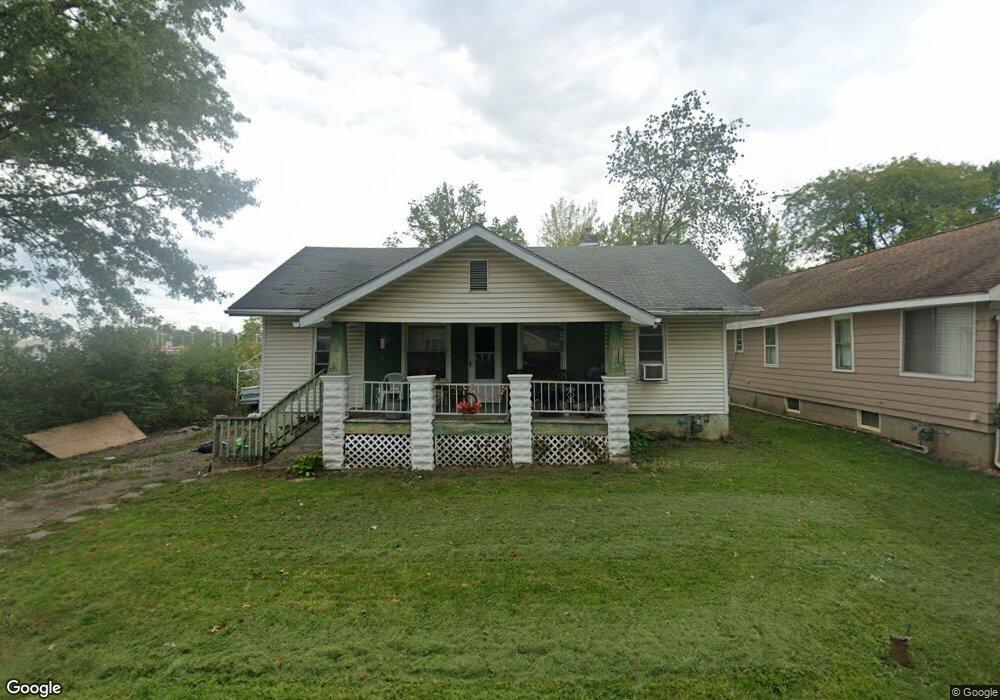
2210 Carolina Ave Lima, OH 45805
Lakewood West NeighborhoodEstimated Value: $97,000 - $128,000
2
Beds
1
Bath
988
Sq Ft
$114/Sq Ft
Est. Value
About This Home
This home is located at 2210 Carolina Ave, Lima, OH 45805 and is currently estimated at $112,650, approximately $114 per square foot. 2210 Carolina Ave is a home located in Allen County with nearby schools including Elida Elementary School, Elida Middle School, and Elida High School.
Ownership History
Date
Name
Owned For
Owner Type
Purchase Details
Closed on
May 25, 1995
Sold by
Ford Robert
Bought by
Haunhorst Loretta
Current Estimated Value
Home Financials for this Owner
Home Financials are based on the most recent Mortgage that was taken out on this home.
Original Mortgage
$25,390
Interest Rate
8.4%
Mortgage Type
New Conventional
Purchase Details
Closed on
Aug 1, 1978
Bought by
Ford Robert Paul
Create a Home Valuation Report for This Property
The Home Valuation Report is an in-depth analysis detailing your home's value as well as a comparison with similar homes in the area
Home Values in the Area
Average Home Value in this Area
Purchase History
| Date | Buyer | Sale Price | Title Company |
|---|---|---|---|
| Haunhorst Loretta | $31,300 | -- | |
| Ford Robert Paul | $30,000 | -- |
Source: Public Records
Mortgage History
| Date | Status | Borrower | Loan Amount |
|---|---|---|---|
| Closed | Haunhorst Loretta | $25,390 |
Source: Public Records
Tax History
| Year | Tax Paid | Tax Assessment Tax Assessment Total Assessment is a certain percentage of the fair market value that is determined by local assessors to be the total taxable value of land and additions on the property. | Land | Improvement |
|---|---|---|---|---|
| 2024 | $1,194 | $25,910 | $8,090 | $17,820 |
| 2023 | $1,075 | $20,550 | $6,410 | $14,140 |
| 2022 | $1,063 | $20,550 | $6,410 | $14,140 |
| 2021 | $1,066 | $20,550 | $6,410 | $14,140 |
| 2020 | $1,006 | $18,070 | $6,060 | $12,010 |
| 2019 | $1,006 | $18,070 | $6,060 | $12,010 |
| 2018 | $1,009 | $18,070 | $6,060 | $12,010 |
| 2017 | $926 | $16,980 | $6,060 | $10,920 |
| 2016 | $1,194 | $16,980 | $6,060 | $10,920 |
| 2015 | $1,174 | $16,980 | $6,060 | $10,920 |
| 2014 | $1,174 | $15,550 | $5,640 | $9,910 |
| 2013 | $1,080 | $15,550 | $5,640 | $9,910 |
Source: Public Records
Map
Nearby Homes
- 705 Cornell Dr
- 3 Poulston Place
- 1753 Leland Ave
- 275 N Dale Dr
- 2530 Windsor Dr
- 1918 Oakland Pkwy
- 910 N Dale Dr
- 161 S Cable Rd
- 1641 Whitehall Dr
- 37 Beaumont Place
- N/A Eastown Rd N
- 926 Crestwood Dr
- 1716 Oakland Pkwy
- 1605 Hazel Ave
- 2700 Lowell Ave
- 102 Charwood Dr
- 2802 Lowell Ave
- 1600 Leland Ave
- 1607 W Wayne St
- 1817 Hillcrest Dr
- 2208 Carolina Ave
- 2206 Carolina Ave
- 2209 Carolina Ave
- 615 Close Ave
- 605 Close Ave
- 625 Close Ave
- 2215 Carolina Ave
- 2207 Carolina Ave
- 645 Close Ave
- 2201 Carolina Ave
- 2223 Carolina Ave
- 2225 Carolina Ave
- 655 Close Ave
- 2127 Carolina Ave
- 2423 Allentown Rd
- 2227 Carolina Ave
- 2323 Allentown Rd
- 2123 Carolina Ave
- 2355 Allentown Rd
- 2377 Allentown Rd
Your Personal Tour Guide
Ask me questions while you tour the home.