Estimated Value: $188,598 - $255,000
--
Bed
2
Baths
1,789
Sq Ft
$126/Sq Ft
Est. Value
About This Home
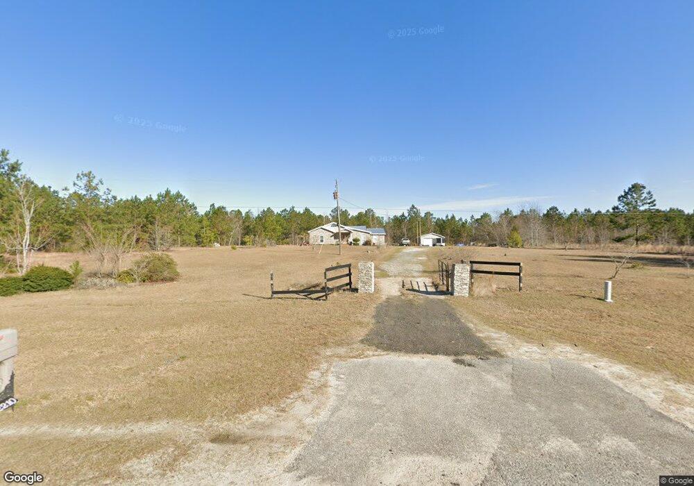
This home is located at 2210 Ga Highway 57 E, Kite, GA 31049 and is currently estimated at $225,533, approximately $126 per square foot. 2210 Ga Highway 57 E is a home located in Johnson County with nearby schools including Johnson County Elementary School, Johnson County Middle School, and Johnson County High School.
Ownership History
Date
Name
Owned For
Owner Type
Purchase Details
Closed on
Apr 19, 1994
Bought by
Logue Samantha and Logue St
Current Estimated Value
Purchase Details
Closed on
Oct 29, 1991
Bought by
Ronald Ronald D and Ronald Kirby
Create a Home Valuation Report for This Property
The Home Valuation Report is an in-depth analysis detailing your home's value as well as a comparison with similar homes in the area
Home Values in the Area
Average Home Value in this Area
Purchase History
| Date | Buyer | Sale Price | Title Company |
|---|---|---|---|
| Logue Samantha | $23,400 | -- | |
| Ronald Ronald D | $25,000 | -- |
Source: Public Records
Tax History Compared to Growth
Tax History
| Year | Tax Paid | Tax Assessment Tax Assessment Total Assessment is a certain percentage of the fair market value that is determined by local assessors to be the total taxable value of land and additions on the property. | Land | Improvement |
|---|---|---|---|---|
| 2024 | $1,396 | $46,889 | $9,339 | $37,550 |
| 2023 | $1,284 | $46,889 | $9,339 | $37,550 |
| 2022 | $1,284 | $46,889 | $9,339 | $37,550 |
| 2021 | $1,167 | $39,789 | $9,339 | $30,450 |
| 2020 | $1,152 | $39,789 | $9,339 | $30,450 |
| 2019 | $1,159 | $39,509 | $9,339 | $30,170 |
| 2018 | $1,173 | $39,994 | $9,339 | $30,655 |
| 2017 | $1,157 | $39,994 | $9,339 | $30,655 |
| 2016 | $990 | $33,754 | $9,339 | $24,415 |
| 2015 | -- | $34,195 | $9,339 | $24,856 |
| 2014 | -- | $34,195 | $9,339 | $24,856 |
| 2013 | -- | $34,194 | $9,339 | $24,855 |
Source: Public Records
Map
Nearby Homes
- 154 Bobby Fortner Rd
- 151 Brantley Midas Rd
- 53 Averett St
- 2195 Montgomery St
- 55 Hatcher St
- 22 Jl Price Rd
- 0 Sardis Church Rd Unit 10601519
- 1000 May Rd
- 92 Paul Lord Rd
- 0 Trinity Church Rd
- 0 Shepard Rd
- 600 Alton Lawson Rd
- 400 Alton Lawson Rd
- 503 Alton Lawson Rd
- 0 Alton Lawson Rd
- 0 Asa Lindsey Rd Unit 10595336
- 964 Cross Cedar Rd
- 87 Georgia Ave
- 84 J D Garnto Rd
- 0 Cow Ford Bridge Rd Unit 10535184