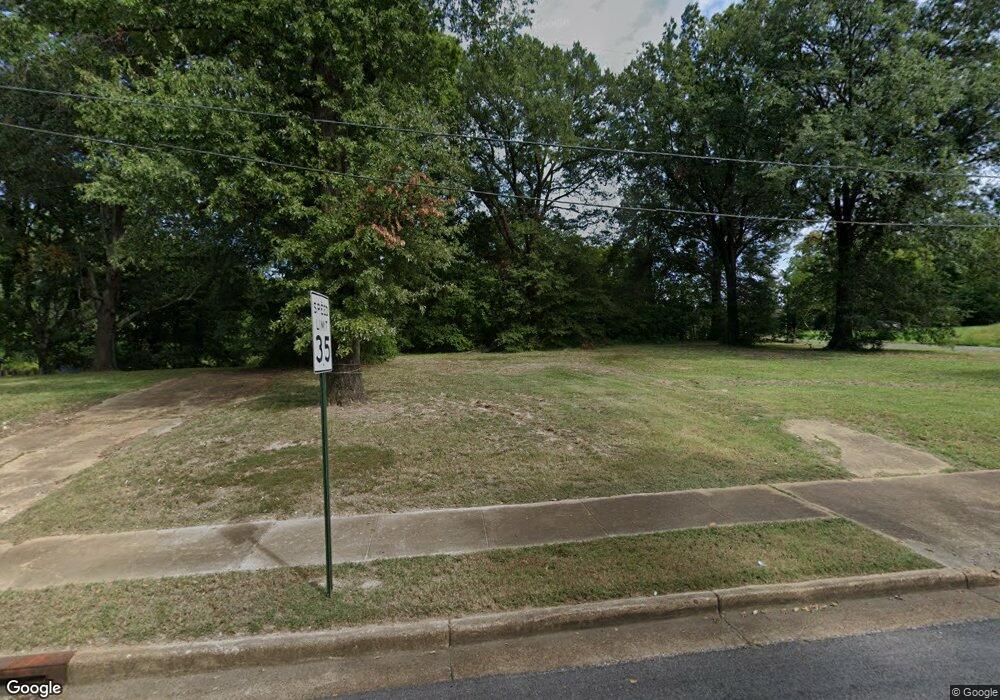
2210 Hernando Rd Memphis, TN 38106
Southeast Memphis NeighborhoodEstimated Value: $195,000
Studio
2
Baths
--
Sq Ft
7,928
Sq Ft
About This Home
This home is located at 2210 Hernando Rd, Memphis, TN 38106 and is currently priced at $195,000. 2210 Hernando Rd is a home located in Shelby County with nearby schools including Hamilton High School, Memphis College Preparatory, and Veritas College Preparatory.
Ownership History
Date
Name
Owned For
Owner Type
Purchase Details
Closed on
May 31, 2019
Sold by
Harwell C H and Harwell Mary
Bought by
London Alvertis Dovoy
Current Estimated Value
Purchase Details
Closed on
Jul 22, 1999
Sold by
Homegold Inc
Bought by
Harwell C H
Purchase Details
Closed on
Apr 29, 1999
Sold by
Kinsey Portia L
Bought by
Homegold Inc and Emergent Mtg Corp
Purchase Details
Closed on
Jan 20, 1998
Sold by
Kinsey Portia
Bought by
Kinsey Portia L and Pettigrew Curtis
Purchase Details
Closed on
Jan 20, 1997
Sold by
Couch Larry D
Bought by
Kinsey Portia L
Create a Home Valuation Report for This Property
The Home Valuation Report is an in-depth analysis detailing your home's value as well as a comparison with similar homes in the area
Home Values in the Area
Average Home Value in this Area
Purchase History
| Date | Buyer | Sale Price | Title Company |
|---|---|---|---|
| London Alvertis Dovoy | $2,000 | None Available | |
| Harwell C H | $12,500 | Equity Title & Escrow Compan | |
| Harwell C H | $12,500 | Equity Title & Escrow Compan | |
| Homegold Inc | $30,000 | -- | |
| Homegold Inc | $30,000 | -- | |
| Kinsey Portia L | -- | Stewart Title Company | |
| Kinsey Portia L | -- | Stewart Title Company | |
| Kinsey Portia L | -- | Stewart Title Co Of Memphis | |
| Kinsey Portia L | -- | Stewart Title Co Of Memphis |
Source: Public Records
Tax History
| Year | Tax Paid | Tax Assessment Tax Assessment Total Assessment is a certain percentage of the fair market value that is determined by local assessors to be the total taxable value of land and additions on the property. | Land | Improvement |
|---|---|---|---|---|
| 2025 | -- | $1,725 | $1,725 | -- |
| 2024 | $26 | $775 | $775 | -- |
| 2023 | $47 | $775 | $775 | $0 |
| 2022 | $47 | $775 | $775 | $0 |
| 2021 | $27 | $775 | $775 | $0 |
| 2020 | $56 | $775 | $775 | $0 |
| 2019 | $25 | $775 | $775 | $0 |
| 2018 | $25 | $775 | $775 | $0 |
| 2017 | $25 | $775 | $775 | $0 |
| 2016 | $34 | $775 | $0 | $0 |
| 2014 | $34 | $775 | $0 | $0 |
Source: Public Records
Map
Nearby Homes
- 2340 Hernando Rd
- 1078 N Ball Rd
- 1263 Newark Ave
- 2180 Elvis Presley Blvd
- 904 N Ball Rd
- 2344 Warren St
- 2394 Warren St
- 1478 Effie Rd
- 880 Rutgers Rd
- 2048 Benton St
- 944 Alice Ave
- 2136 Sparks St
- 726 E Gage Ave
- 1551 Cane Rd
- 0 Carlton Rd
- 732 E Davant Ave
- 1863 Marjorie St
- 1493 E Alcy Rd
- 1490 Lockhaven Ave
- 2102 Laramie St
- 1154 E Dempster Ave
- 2194 Hernando Rd
- 2196 Hernando Rd
- 1162 E Dempster Ave
- 1157 E Mallory Ave
- 0 Mallory Ave Unit RTC2809627
- 1172 E Dempster Ave
- 1163 E Dempster Ave
- 1173 E Mallory Ave
- 1171 E Dempster Ave
- 1179 E Mallory Ave
- 1182 E Dempster Ave
- 1177 E Dempster Ave
- 1162 Norris Rd
- 1191 E Mallory Ave
- 1170 Norris Rd
- 1196 E Dempster Ave
- 1172 Norris Rd
- 1187 E Dempster Ave
- 1199 E Mallory Ave
Your Personal Tour Guide
Ask me questions while you tour the home.