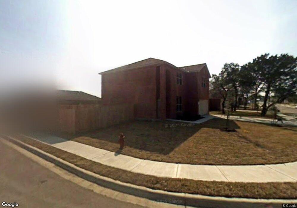
2210 Lauren Loop Leander, TX 78641
Estimated Value: $328,991 - $386,000
3
Beds
3
Baths
2,144
Sq Ft
$166/Sq Ft
Est. Value
About This Home
This home is located at 2210 Lauren Loop, Leander, TX 78641 and is currently estimated at $355,248, approximately $165 per square foot. 2210 Lauren Loop is a home located in Williamson County with nearby schools including Bagdad Elementary School, Leander Middle School, and Leander High School.
Ownership History
Date
Name
Owned For
Owner Type
Purchase Details
Closed on
May 20, 2008
Sold by
Kb Home Lone Star Inc
Bought by
Guerrero Veronica
Current Estimated Value
Home Financials for this Owner
Home Financials are based on the most recent Mortgage that was taken out on this home.
Original Mortgage
$168,297
Outstanding Balance
$106,470
Interest Rate
5.86%
Mortgage Type
VA
Estimated Equity
$248,778
Create a Home Valuation Report for This Property
The Home Valuation Report is an in-depth analysis detailing your home's value as well as a comparison with similar homes in the area
Purchase History
| Date | Buyer | Sale Price | Title Company |
|---|---|---|---|
| Guerrero Veronica | -- | Alamo Title Company |
Source: Public Records
Mortgage History
| Date | Status | Borrower | Loan Amount |
|---|---|---|---|
| Open | Guerrero Veronica | $168,297 |
Source: Public Records
Tax History
| Year | Tax Paid | Tax Assessment Tax Assessment Total Assessment is a certain percentage of the fair market value that is determined by local assessors to be the total taxable value of land and additions on the property. | Land | Improvement |
|---|---|---|---|---|
| 2025 | $5,687 | $329,310 | $80,000 | $249,310 |
| 2024 | $5,687 | $339,319 | $80,000 | $259,319 |
| 2023 | $5,218 | $317,371 | $0 | $0 |
| 2022 | $6,344 | $288,519 | $0 | $0 |
| 2021 | $6,662 | $262,290 | $58,000 | $204,290 |
| 2020 | $6,113 | $238,508 | $55,054 | $183,454 |
| 2019 | $5,805 | $219,420 | $51,900 | $173,902 |
| 2018 | $4,893 | $199,473 | $44,581 | $175,419 |
| 2017 | $4,913 | $181,339 | $40,900 | $171,510 |
| 2016 | $4,466 | $164,854 | $40,900 | $147,745 |
| 2015 | $3,535 | $149,867 | $33,500 | $143,482 |
| 2014 | $3,535 | $136,243 | $0 | $0 |
Source: Public Records
Map
Nearby Homes
- 2233 Sauterne Dr
- 303 Briarwood Dr
- 209 Camille St
- 405 Mountain Sky Bend
- 232 Camille St
- 1813 Sauterne Dr
- 421 Abruzzi St
- 1809 Sauterne Dr
- 1805 Sauterne Dr
- 1812 Camay St
- 1913 Crooked Creek St
- 1729 Sauterne Dr
- 1916 Crooked Creek St
- 1920 Crooked Creek St
- 1840 Crooked Creek St
- 307 Crossland Cove
- 1717 Sauterne Dr
- 2004 Crooked Creek St
- 444 Eagle Canyon Dr
- 417 Eagle Canyon Dr
- 2212 Lauren Loop
- 207 Lauren Loop
- 2214 Lauren Loop
- 208 Lauren Loop
- 205 Lauren Loop
- 210 Lauren Loop
- 206 Lauren Loop
- 2209 Lauren Loop
- 2211 Lauren Loop
- 204 Michael Cove
- 2216 Lauren Loop
- 212 Lauren Loop
- 2213 Lauren Loop
- 204 Lauren Loop
- 203 Lauren Loop
- 202 Michael Cove
- 2215 Lauren Loop
- 2300 Lauren Loop
- 206 Michael Cove
- 202 Lauren Loop
Your Personal Tour Guide
Ask me questions while you tour the home.