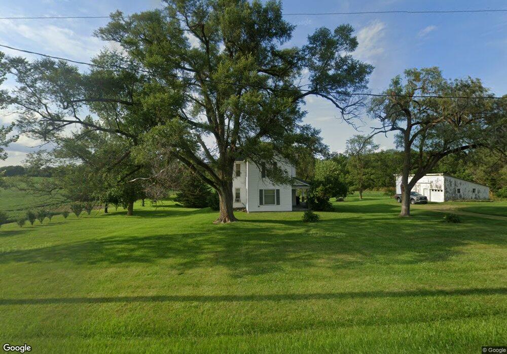
22109 Us Highway 20a West Unity, OH 43570
Estimated Value: $174,000 - $206,000
4
Beds
1
Bath
1,862
Sq Ft
$106/Sq Ft
Est. Value
About This Home
This home is located at 22109 Us Highway 20a, West Unity, OH 43570 and is currently estimated at $197,034, approximately $105 per square foot. 22109 Us Highway 20a is a home located in Williams County with nearby schools including Hilltop Elementary School and Hilltop High School.
Ownership History
Date
Name
Owned For
Owner Type
Purchase Details
Closed on
Oct 30, 2020
Sold by
Thome Paulette M and Pettry Paulette M
Bought by
Pettry Orville L
Current Estimated Value
Purchase Details
Closed on
May 27, 1999
Sold by
Pettry Orville L and Pettry Turner-Pettry Alessandra
Bought by
Pettry Orville L
Purchase Details
Closed on
Aug 12, 1998
Sold by
Wieland William J
Bought by
Pettry Orville L and Pettry Turner-Pett
Purchase Details
Closed on
Jan 1, 1990
Bought by
Wieland William J
Create a Home Valuation Report for This Property
The Home Valuation Report is an in-depth analysis detailing your home's value as well as a comparison with similar homes in the area
Home Values in the Area
Average Home Value in this Area
Purchase History
| Date | Buyer | Sale Price | Title Company |
|---|---|---|---|
| Pettry Orville L | -- | None Available | |
| Pettry Orville L | -- | None Listed On Document | |
| Pettry Orville L | -- | -- | |
| Pettry Orville L | $82,000 | -- | |
| Wieland William J | -- | -- |
Source: Public Records
Tax History Compared to Growth
Tax History
| Year | Tax Paid | Tax Assessment Tax Assessment Total Assessment is a certain percentage of the fair market value that is determined by local assessors to be the total taxable value of land and additions on the property. | Land | Improvement |
|---|---|---|---|---|
| 2024 | $1,656 | $54,600 | $15,750 | $38,850 |
| 2023 | $1,656 | $43,860 | $14,000 | $29,860 |
| 2022 | $1,547 | $43,860 | $14,000 | $29,860 |
| 2021 | $1,547 | $43,860 | $14,000 | $29,860 |
| 2020 | $1,267 | $36,690 | $11,800 | $24,890 |
| 2019 | $1,246 | $36,690 | $11,800 | $24,890 |
| 2018 | $1,364 | $36,690 | $11,800 | $24,890 |
| 2017 | $1,535 | $34,440 | $10,220 | $24,220 |
| 2016 | $1,467 | $34,440 | $10,220 | $24,220 |
| 2015 | $1,456 | $34,440 | $10,220 | $24,220 |
| 2014 | $1,456 | $31,300 | $9,280 | $22,020 |
| 2013 | $1,439 | $31,300 | $9,280 | $22,020 |
Source: Public Records
Map
Nearby Homes
- 22227 Us Highway 20a
- 000 W Jackson
- 311 W Rings St
- 340 S Main St
- 205 Taylor Dr
- 7170 County Road 23
- 23161 County Road Jk
- 3063 County Road 26-2
- 16806 US Highway 20a
- 24218 State Route 2
- 552 Quail Run
- 433 Primrose Ln
- 0 U S 20
- 305 W Mulberry St
- 18 Cobblestone Rd
- 301 N Pointe Dr
- 22018 County Road F
- 300 Degroff Ave
- 301 Horton St
- 404 Walnut St
- 22014 Us Highway 20a
- 22014 U S 20a
- 22189 Us Highway 20a
- 22182 Us Highway 20a
- 22227 U S 20a
- 11873 County Road 22
- 21589 Us Highway 20a
- 21556 Us Highway 20a
- 21488 Us Highway 20a
- 21488 U S 20a
- 11901 County Road 21n
- 12048 County Road 21n
- 12386 County Road 2150
- 21400 Us Highway 20a
- 12341 County Road 2150
- 11700 County Road 21n
- 21351 U S 20a
- 21351 Us Highway 20a
- 12473 County Road 2150
- 11557 County Road 21n