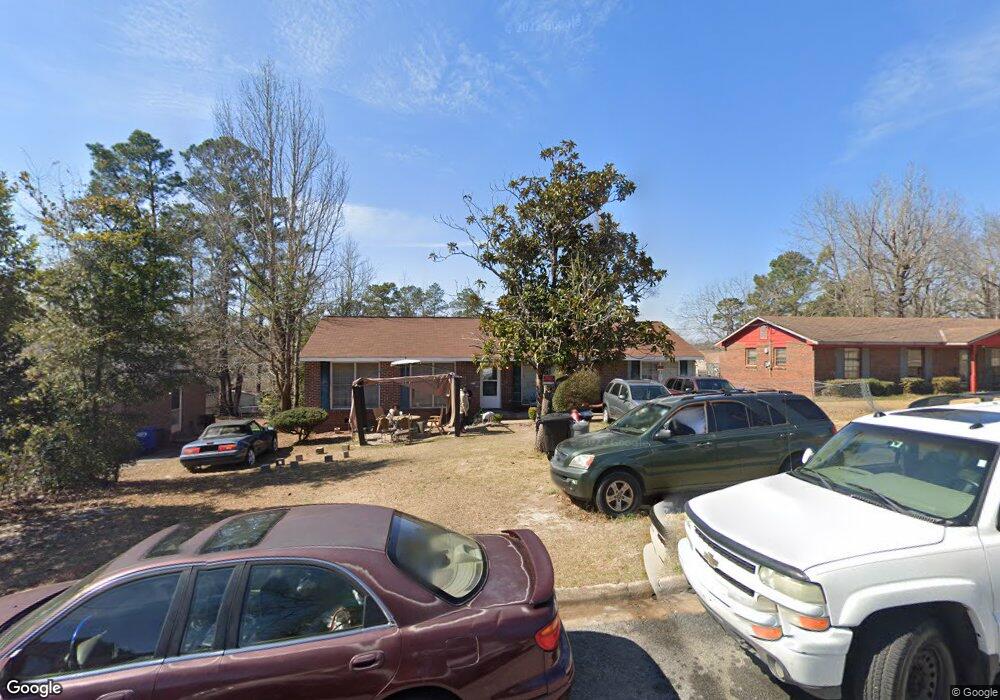
2211 Burnside Dr Columbus, GA 31907
Eastern Columbus NeighborhoodEstimated Value: $146,616 - $165,000
4
Beds
2
Baths
1,498
Sq Ft
$103/Sq Ft
Est. Value
About This Home
This home is located at 2211 Burnside Dr, Columbus, GA 31907 and is currently estimated at $153,654, approximately $102 per square foot. 2211 Burnside Dr is a home located in Muscogee County with nearby schools including Forrest Road Elementary School, Fort Middle School, and Kendrick High School.
Ownership History
Date
Name
Owned For
Owner Type
Purchase Details
Closed on
Jul 11, 2019
Sold by
Gamble Sylvester
Bought by
Donna Tompkins Sheriff
Current Estimated Value
Create a Home Valuation Report for This Property
The Home Valuation Report is an in-depth analysis detailing your home's value as well as a comparison with similar homes in the area
Home Values in the Area
Average Home Value in this Area
Purchase History
| Date | Buyer | Sale Price | Title Company |
|---|---|---|---|
| Donna Tompkins Sheriff | $27,016 | None Listed On Document |
Source: Public Records
Tax History Compared to Growth
Tax History
| Year | Tax Paid | Tax Assessment Tax Assessment Total Assessment is a certain percentage of the fair market value that is determined by local assessors to be the total taxable value of land and additions on the property. | Land | Improvement |
|---|---|---|---|---|
| 2025 | $267 | $43,452 | $8,756 | $34,696 |
| 2024 | $265 | $43,452 | $8,756 | $34,696 |
| 2023 | $17 | $43,452 | $8,756 | $34,696 |
| 2022 | $276 | $34,888 | $8,756 | $26,132 |
| 2021 | $270 | $35,268 | $8,756 | $26,512 |
| 2020 | $270 | $35,268 | $8,756 | $26,512 |
| 2019 | $272 | $35,268 | $8,756 | $26,512 |
| 2018 | $272 | $35,268 | $8,756 | $26,512 |
| 2017 | $275 | $35,268 | $8,756 | $26,512 |
| 2016 | $277 | $31,989 | $2,550 | $29,439 |
| 2015 | $250 | $31,989 | $2,550 | $29,439 |
| 2014 | $252 | $31,989 | $2,550 | $29,439 |
| 2013 | -- | $31,989 | $2,550 | $29,439 |
Source: Public Records
Map
Nearby Homes
- 1754 Mazor Dr
- 1925 Woodhollow Dr
- 6916 Bradshaw Dr
- 1826 Woodhollow Dr
- 6213 Fitzgerald Dr
- 1607 Mazor Dr
- 2708 Courtland Ave
- 2672 Honeysuckle Dr
- 5929 Gleneden Dr
- 5920 Gleneden Dr
- 2216 Hunter Ct
- 6032 Cordova Rd
- 1322 Melford Dr
- 6620 Cove Cir
- 2525 Corineth Dr
- 3041 Waddell Dr
- 6047 Capri Cir
- 5833 Gleneden Dr
- 6059 Nassau Cir
- 2942 Poppy Seed Loop
- 2217 Burnside Dr
- 2205 Burnside Dr
- 2208 Tucker Dr
- 2223 Burnside Dr
- 2121 Burnside Dr
- 2214 Tucker Dr
- 2202 Tucker Dr
- 2210 Burnside Dr
- 2220 Tucker Dr
- 2114 Tucker Dr
- 2216 Burnside Dr
- 2204 Burnside Dr
- 2301 Burnside Dr
- 2115 Burnside Dr
- 2222 Burnside Dr
- 2120 Burnside Dr
- 2302 Tucker Dr
- 2108 Tucker Dr
- 2309 Burnside Dr
- 2300 Burnside Dr