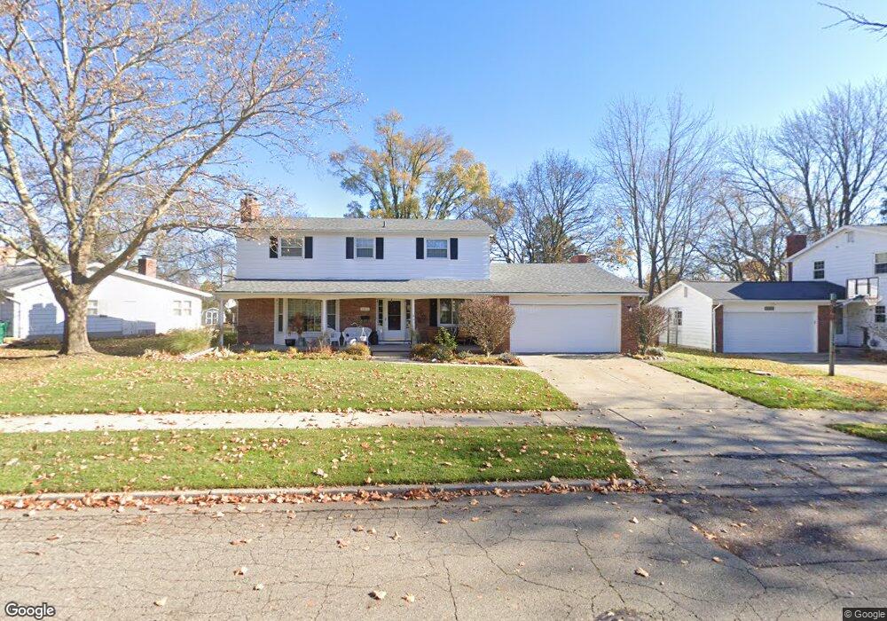
2211 Hampden Dr Lansing, MI 48911
Lewton Rich NeighborhoodEstimated Value: $276,000 - $302,000
--
Bed
2
Baths
2,337
Sq Ft
$122/Sq Ft
Est. Value
About This Home
This home is located at 2211 Hampden Dr, Lansing, MI 48911 and is currently estimated at $285,432, approximately $122 per square foot. 2211 Hampden Dr is a home located in Ingham County with nearby schools including Averill Elementary School, Attwood School, and J.W. Sexton High School.
Ownership History
Date
Name
Owned For
Owner Type
Purchase Details
Closed on
Jun 27, 2001
Sold by
Murray Mark A and Murray Elizabeth C
Bought by
Rakestraw Todd E and Rakestraw Tamara E
Current Estimated Value
Home Financials for this Owner
Home Financials are based on the most recent Mortgage that was taken out on this home.
Original Mortgage
$110,000
Outstanding Balance
$42,422
Interest Rate
7.15%
Mortgage Type
Purchase Money Mortgage
Estimated Equity
$243,010
Create a Home Valuation Report for This Property
The Home Valuation Report is an in-depth analysis detailing your home's value as well as a comparison with similar homes in the area
Home Values in the Area
Average Home Value in this Area
Purchase History
| Date | Buyer | Sale Price | Title Company |
|---|---|---|---|
| Rakestraw Todd E | $156,400 | -- |
Source: Public Records
Mortgage History
| Date | Status | Borrower | Loan Amount |
|---|---|---|---|
| Open | Rakestraw Todd E | $110,000 |
Source: Public Records
Tax History Compared to Growth
Tax History
| Year | Tax Paid | Tax Assessment Tax Assessment Total Assessment is a certain percentage of the fair market value that is determined by local assessors to be the total taxable value of land and additions on the property. | Land | Improvement |
|---|---|---|---|---|
| 2025 | $4,948 | $150,100 | $15,400 | $134,700 |
| 2024 | $40 | $134,200 | $15,400 | $118,800 |
| 2023 | $4,636 | $117,400 | $15,400 | $102,000 |
| 2022 | $4,174 | $103,100 | $13,300 | $89,800 |
| 2021 | $4,087 | $95,000 | $12,300 | $82,700 |
| 2020 | $4,062 | $91,300 | $12,300 | $79,000 |
| 2019 | $3,898 | $82,000 | $12,300 | $69,700 |
| 2018 | $3,648 | $74,300 | $12,300 | $62,000 |
| 2017 | $3,494 | $74,300 | $12,300 | $62,000 |
| 2016 | $3,341 | $64,700 | $12,300 | $52,400 |
| 2015 | $3,341 | $61,500 | $24,623 | $36,877 |
| 2014 | $3,341 | $60,300 | $24,623 | $35,677 |
Source: Public Records
Map
Nearby Homes
- 2505 Hanover Dr
- 2200 Rossiter Place
- 2201 Pamela Place
- 2812 Pleasant Grove Rd
- 2409 Victor Ave
- 1740 Wellington Rd Unit 103
- 2039 Holly Way
- 2920 Pleasant Grove Rd Unit 1
- 1533 Cambridge Rd
- 1618 Loraine Ave
- 2710 Bedford Rd
- 3125 Boston Blvd
- 1420 Poxson Ave
- 1404 Kelsey Ave
- 1607 Holly Way
- 2905 S Catherine St
- 2118 Marion Ave
- 1315 Goodrich St
- 1312 W Mount Hope Ave
- 3310 W Mount Hope Ave
- 2219 Hampden Dr
- 2117 Hampden Dr
- 2126 Pleasant Grove Rd
- 2200 Pleasant Grove Rd
- 2225 Hampden Dr
- 2118 Pleasant Grove Rd
- 2111 Hampden Dr
- 2124 Pleasant Grove Rd
- 2301 Hanover Dr
- 2208 Pleasant Grove Rd
- 2214 Hampden Dr
- 2105 Hampden Dr
- 2233 Hampden Dr
- 2106 Pleasant Grove Rd
- 2116 Hampden Dr
- 2311 Hanover Dr
- 2300 Hanover Dr
- 2101 Hampden Dr