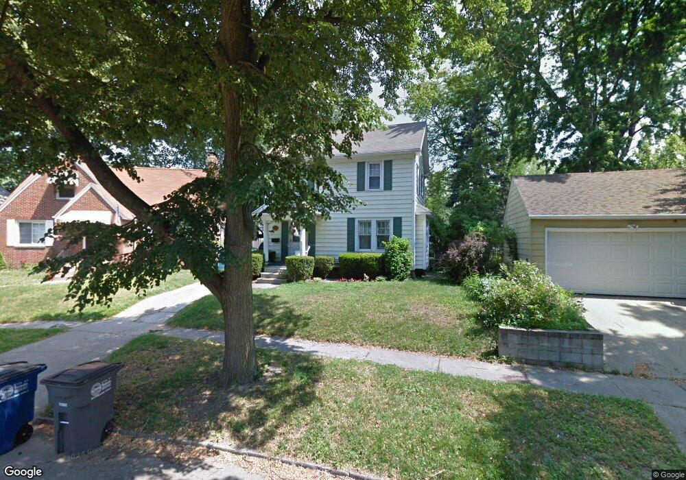
2212 Georgetown Ave Toledo, OH 43613
DeVeaux NeighborhoodEstimated Value: $135,000 - $153,000
3
Beds
1
Bath
1,046
Sq Ft
$138/Sq Ft
Est. Value
About This Home
This home is located at 2212 Georgetown Ave, Toledo, OH 43613 and is currently estimated at $144,435, approximately $138 per square foot. 2212 Georgetown Ave is a home located in Lucas County with nearby schools including DeVeaux Elementary School, Start High School, and Horizon Science Academy - Toledo High School.
Ownership History
Date
Name
Owned For
Owner Type
Purchase Details
Closed on
Oct 24, 2002
Sold by
Oess James L
Bought by
Schafer Michael and Schafer Sherry L
Current Estimated Value
Home Financials for this Owner
Home Financials are based on the most recent Mortgage that was taken out on this home.
Original Mortgage
$96,000
Outstanding Balance
$48,308
Interest Rate
8.96%
Estimated Equity
$96,127
Purchase Details
Closed on
Sep 24, 1993
Sold by
Oess F M and M M
Create a Home Valuation Report for This Property
The Home Valuation Report is an in-depth analysis detailing your home's value as well as a comparison with similar homes in the area
Home Values in the Area
Average Home Value in this Area
Purchase History
| Date | Buyer | Sale Price | Title Company |
|---|---|---|---|
| Schafer Michael | $96,000 | Northwest Title Agency Of Oh | |
| -- | -- | -- |
Source: Public Records
Mortgage History
| Date | Status | Borrower | Loan Amount |
|---|---|---|---|
| Open | Schafer Michael | $96,000 |
Source: Public Records
Tax History Compared to Growth
Tax History
| Year | Tax Paid | Tax Assessment Tax Assessment Total Assessment is a certain percentage of the fair market value that is determined by local assessors to be the total taxable value of land and additions on the property. | Land | Improvement |
|---|---|---|---|---|
| 2024 | $1,063 | $35,000 | $7,560 | $27,440 |
| 2023 | $1,906 | $30,030 | $7,140 | $22,890 |
| 2022 | $1,909 | $30,030 | $7,140 | $22,890 |
| 2021 | $1,956 | $30,030 | $7,140 | $22,890 |
| 2020 | $1,849 | $25,025 | $5,950 | $19,075 |
| 2019 | $1,800 | $25,025 | $5,950 | $19,075 |
| 2018 | $1,695 | $25,025 | $5,950 | $19,075 |
| 2017 | $1,607 | $21,000 | $5,845 | $15,155 |
| 2016 | $1,604 | $60,000 | $16,700 | $43,300 |
| 2015 | $1,588 | $60,000 | $16,700 | $43,300 |
| 2014 | $1,321 | $21,010 | $5,850 | $15,160 |
| 2013 | $1,321 | $21,010 | $5,850 | $15,160 |
Source: Public Records
Map
Nearby Homes
- 2220 Beaufort Ave
- 3715 Shelbourne Ave
- 4015 Roanoke Rd
- 2050 Berdan Ave
- 3718 Sherbrooke Rd
- 2041 Brame Place
- 3656 Bellevue Rd
- 2035 Barrows St
- 2026 Berkshire Place
- 2426 Berdan Ave
- 2433 Georgetown Ave
- 2012 Berdan Ave
- 2447 Portsmouth Ave
- 1959 Brussels St
- 2002 Brame Place
- 2227 Castlewood Dr
- 3621 Sherbrooke Rd
- 2513 Portsmouth Ave
- 1921 Brussels St
- 2146 Marlow Rd
- 2216 Georgetown Ave
- 3831 Bellevue Rd
- 3827 Bellevue Rd
- 3835 Bellevue Rd
- 2220 Georgetown Ave
- 2207 Portsmouth Ave
- 2211 Portsmouth Ave
- 2224 Georgetown Ave
- 2215 Portsmouth Ave
- 3843 Bellevue Rd
- 2201 Portsmouth Ave
- 3817 Bellevue Rd
- 2217 Georgetown Ave
- 2219 Portsmouth Ave
- 2228 Georgetown Ave
- 3847 Bellevue Rd
- 3815 Bellevue Rd
- 2223 Portsmouth Ave
- 2223 Georgetown Ave
- 3851 Bellevue Rd