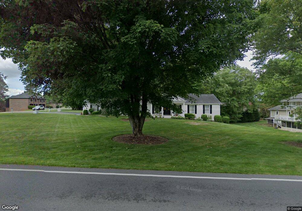
2212 King College Rd Bristol, TN 37620
Estimated Value: $412,000 - $519,000
3
Beds
3
Baths
2,540
Sq Ft
$181/Sq Ft
Est. Value
About This Home
This home is located at 2212 King College Rd, Bristol, TN 37620 and is currently estimated at $459,506, approximately $180 per square foot. 2212 King College Rd is a home located in Sullivan County with nearby schools including Holston View Elementary School, Vance Middle School, and Tennessee High School.
Ownership History
Date
Name
Owned For
Owner Type
Purchase Details
Closed on
Feb 16, 2004
Sold by
Maday Corp
Bought by
Pippin Carl R
Current Estimated Value
Home Financials for this Owner
Home Financials are based on the most recent Mortgage that was taken out on this home.
Original Mortgage
$115,000
Interest Rate
5.87%
Purchase Details
Closed on
Jun 23, 2000
Sold by
Harold Rossoff
Bought by
Maday Corp
Create a Home Valuation Report for This Property
The Home Valuation Report is an in-depth analysis detailing your home's value as well as a comparison with similar homes in the area
Home Values in the Area
Average Home Value in this Area
Purchase History
| Date | Buyer | Sale Price | Title Company |
|---|---|---|---|
| Pippin Carl R | $215,000 | -- | |
| Maday Corp | $170,500 | -- |
Source: Public Records
Mortgage History
| Date | Status | Borrower | Loan Amount |
|---|---|---|---|
| Closed | Maday Corp | $115,000 |
Source: Public Records
Tax History Compared to Growth
Tax History
| Year | Tax Paid | Tax Assessment Tax Assessment Total Assessment is a certain percentage of the fair market value that is determined by local assessors to be the total taxable value of land and additions on the property. | Land | Improvement |
|---|---|---|---|---|
| 2024 | -- | $65,800 | $6,875 | $58,925 |
| 2023 | $2,890 | $65,800 | $6,875 | $58,925 |
| 2022 | $2,890 | $65,800 | $6,875 | $58,925 |
| 2021 | $2,890 | $65,800 | $6,875 | $58,925 |
| 2020 | $1,582 | $65,800 | $6,875 | $58,925 |
| 2019 | $2,912 | $61,550 | $6,875 | $54,675 |
| 2018 | $2,900 | $61,550 | $6,875 | $54,675 |
| 2017 | $2,900 | $61,550 | $6,875 | $54,675 |
| 2016 | $3,015 | $62,475 | $6,875 | $55,600 |
| 2014 | -- | $62,494 | $0 | $0 |
Source: Public Records
Map
Nearby Homes
- 5820 Old Jonesboro Rd
- 305 Overbrook Dr
- 354 Monroe Dr
- 348 Monroe Dr
- 340 Monroe Dr
- 334 Monroe Dr
- 296 Monroe Dr
- 230 Monroe Dr
- 374 Monroe Dr
- 368 Monroe Dr
- 362 Monroe Dr
- 121 Queensgate
- 141 Queensgate
- 351 Monroe Pvt Dr
- 250 Bradford Ln
- 132 Westover Dr
- 6054 Old Jonesboro Rd
- 224 Galway Rd
- 249 Oak View Cir
- 2089 King College Rd
- 101 Littlewood Dr
- 105 Littlewood Dr
- 2213 King College Rd
- 5920 Old Jonesboro Rd
- 5916 Old Jonesboro Rd
- Lot 2 Littlewood Dr
- Tbd Littlewood Dr
- 6000 Old Jonesboro Rd
- 5905 Old Jonesboro Rd
- 2209 King College Rd
- 112 Littlewood Dr
- 6001 Old Jonesboro Rd
- 6004 Old Jonesboro Rd
- 2204 King College Rd
- 205 Tiffany Rd
- 201 Tiffany Rd
- 5904 Old Jonesboro Rd
- 108 Littlewood Dr
- 109 Tiffany Rd
- 209 Tiffany Rd