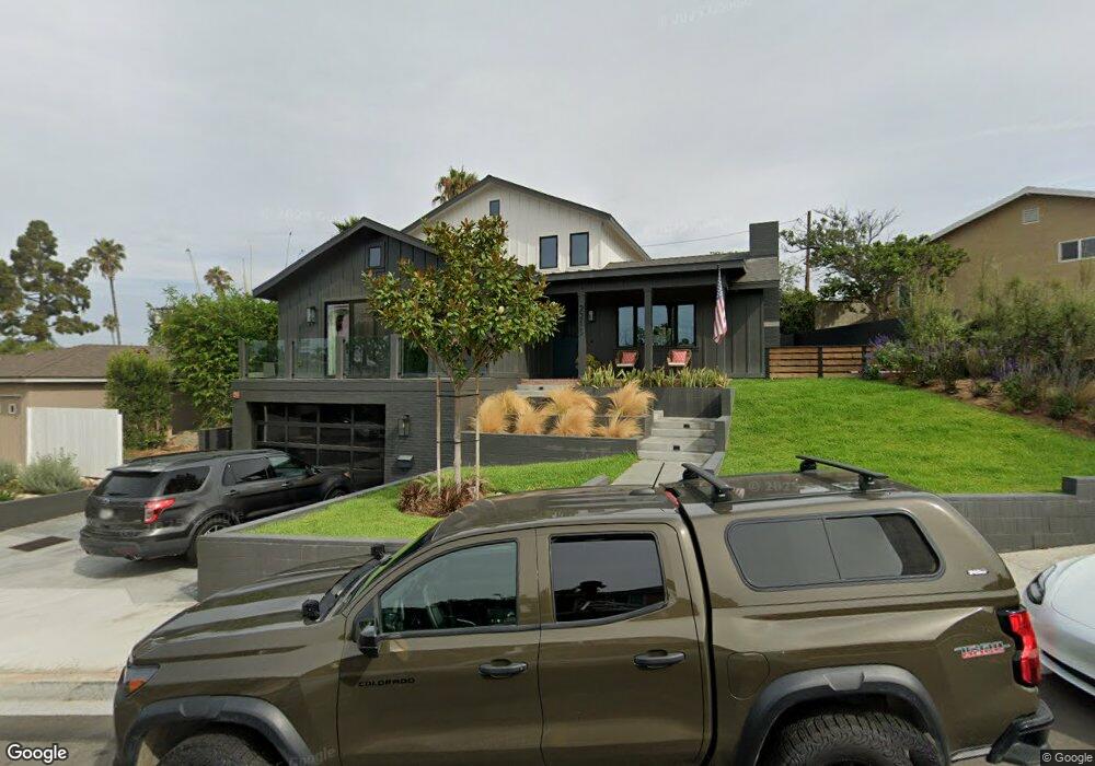
2213 Margaret Ct Redondo Beach, CA 90278
North Redondo Beach NeighborhoodEstimated Value: $1,322,000
3
Beds
2
Baths
1,273
Sq Ft
$1,038/Sq Ft
Est. Value
About This Home
This home is located at 2213 Margaret Ct, Redondo Beach, CA 90278 and is currently priced at $1,322,000, approximately $1,038 per square foot. 2213 Margaret Ct is a home located in Los Angeles County with nearby schools including Washington Elementary School, Adams Middle School, and Redondo Union High School.
Ownership History
Date
Name
Owned For
Owner Type
Purchase Details
Closed on
Jun 26, 2001
Sold by
Tabor Cleta and Grippe Viola
Bought by
Anderson David John and Anderson Michelle Nicole
Current Estimated Value
Home Financials for this Owner
Home Financials are based on the most recent Mortgage that was taken out on this home.
Original Mortgage
$261,200
Outstanding Balance
$101,464
Interest Rate
7.25%
Create a Home Valuation Report for This Property
The Home Valuation Report is an in-depth analysis detailing your home's value as well as a comparison with similar homes in the area
Home Values in the Area
Average Home Value in this Area
Purchase History
| Date | Buyer | Sale Price | Title Company |
|---|---|---|---|
| Anderson David John | $326,500 | Fidelity Title |
Source: Public Records
Mortgage History
| Date | Status | Borrower | Loan Amount |
|---|---|---|---|
| Open | Anderson David John | $261,200 | |
| Closed | Anderson David John | $32,650 |
Source: Public Records
Tax History Compared to Growth
Tax History
| Year | Tax Paid | Tax Assessment Tax Assessment Total Assessment is a certain percentage of the fair market value that is determined by local assessors to be the total taxable value of land and additions on the property. | Land | Improvement |
|---|---|---|---|---|
| 2023 | $6,477 | $507,117 | $378,296 | $128,821 |
| 2022 | $6,419 | $497,175 | $370,879 | $126,296 |
| 2021 | $6,244 | $487,427 | $363,607 | $123,820 |
| 2019 | $6,084 | $472,972 | $352,823 | $120,149 |
| 2018 | $5,881 | $463,699 | $345,905 | $117,794 |
| 2016 | $5,689 | $445,695 | $332,474 | $113,221 |
| 2015 | $5,590 | $439,001 | $327,480 | $111,521 |
| 2014 | $5,513 | $430,403 | $321,066 | $109,337 |
Source: Public Records
Map
Nearby Homes
- 2345 190th St Unit 42
- 2345 190th St Unit 24
- 2221 Pullman Ln Unit B
- 2345 W 190th St Unit 77
- 2400 Marshallfield Ln
- 907 Lilienthal Ln
- 2301 Marshallfield Ln Unit A
- 2407 Ripley Ave
- 2420 Ives Ln Unit B
- 2420 Ives Ln Unit A
- 2102 Marshallfield Ln Unit A
- 2321 Clark Ln Unit B
- 2321 Clark Ln Unit A
- 2020 Clark Ln Unit B
- 2002 Marshallfield Ln
- 2600 Alvord Ln
- 19219 Beckworth Ave
- 1908 Belmont Ln Unit A
- 1903 Morgan Ln Unit B
- 2617 Alvord Ln
- 2211 Margaret Ct
- 2215 Margaret Ct
- 2212 Hall Ct
- 2209 Margaret Ct
- 2210 Hall Ct
- 2212 Margaret Ct
- 2208 Hall Ct
- 2214 Margaret Ct
- 2210 Margaret Ct
- 2216 Margaret Ct
- 2214 Hall Ct
- 2208 Margaret Ct
- 2217 Margaret Ct
- 2218 Margaret Ct
- 2213 Glick Ct
- 2220 Margaret Ct
- 2211 Glick Ct
- 2215 Hall Ct
- 2211 Hall Ct
- 2209 Glick Ct