2213 Watrous Rd Corydon, IA 50060
Estimated Value: $449,000 - $596,894
2
Beds
2
Baths
2,821
Sq Ft
$192/Sq Ft
Est. Value
About This Home
This home is located at 2213 Watrous Rd, Corydon, IA 50060 and is currently estimated at $540,298, approximately $191 per square foot. 2213 Watrous Rd is a home located in Wayne County.
Ownership History
Date
Name
Owned For
Owner Type
Purchase Details
Closed on
Feb 14, 2013
Sold by
Flickinger Charles and Flickinger Angela K
Bought by
Williams Daniel J and Williams Lisa A
Current Estimated Value
Home Financials for this Owner
Home Financials are based on the most recent Mortgage that was taken out on this home.
Original Mortgage
$1,500,000
Outstanding Balance
$1,045,183
Interest Rate
3.34%
Mortgage Type
New Conventional
Estimated Equity
-$504,885
Create a Home Valuation Report for This Property
The Home Valuation Report is an in-depth analysis detailing your home's value as well as a comparison with similar homes in the area
Home Values in the Area
Average Home Value in this Area
Purchase History
| Date | Buyer | Sale Price | Title Company |
|---|---|---|---|
| Williams Daniel J | $304,000 | None Available |
Source: Public Records
Mortgage History
| Date | Status | Borrower | Loan Amount |
|---|---|---|---|
| Open | Williams Daniel J | $1,500,000 |
Source: Public Records
Tax History Compared to Growth
Tax History
| Year | Tax Paid | Tax Assessment Tax Assessment Total Assessment is a certain percentage of the fair market value that is determined by local assessors to be the total taxable value of land and additions on the property. | Land | Improvement |
|---|---|---|---|---|
| 2024 | -- | $576,880 | $49,240 | $527,640 |
| 2023 | $7,700 | $576,880 | $49,240 | $527,640 |
| 2022 | $7,700 | $508,690 | $43,180 | $465,510 |
| 2021 | $7,296 | $504,400 | $43,180 | $461,220 |
| 2020 | $7,296 | $440,050 | $33,180 | $406,870 |
| 2019 | $6,260 | $364,450 | $22,560 | $341,890 |
| 2018 | $6,260 | $364,450 | $22,560 | $341,890 |
| 2017 | $6,032 | $394,827 | $0 | $0 |
| 2016 | $7,086 | $394,827 | $0 | $0 |
| 2015 | $7,086 | $387,312 | $0 | $0 |
| 2014 | $7,168 | $291,542 | $0 | $0 |
Source: Public Records
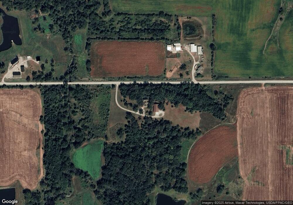
Map
Nearby Homes
- 22249 400th St
- 21887 400th St
- 0 Hwy 14 Unit 29019223
- 0 Hwy 14 Unit 5427675
- 40168 State Highway 14
- 40261 State Highway 14
- 40303 220th Ave
- 40250 State Highway 14
- 1032 Highway 14
- 1055 Highway 14
- 40330 State Highway 14
- 22709 400th St
- 40447 State Highway 14
- 40522 State Highway 14
- 40522 State Highway 14
- 40522 State Highway 14
- 2192 Vale Rd
- 2214 Vale Rd
- 40712 228th Trail
- 40838 220th Ave