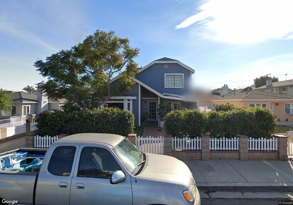
2214 Plant Ave Unit B Redondo Beach, CA 90278
North Redondo Beach NeighborhoodEstimated Value: $1,121,422 - $1,473,000
3
Beds
3
Baths
1,584
Sq Ft
$811/Sq Ft
Est. Value
About This Home
This home is located at 2214 Plant Ave Unit B, Redondo Beach, CA 90278 and is currently estimated at $1,284,356, approximately $810 per square foot. 2214 Plant Ave Unit B is a home located in Los Angeles County with nearby schools including Lincoln Elementary School, Adams Middle School, and Redondo Union High School.
Ownership History
Date
Name
Owned For
Owner Type
Purchase Details
Closed on
Nov 14, 2012
Sold by
Rollow Margaret E and Mardi Rollow Living Trust
Bought by
Randell Edward and Rollow Margaret E
Current Estimated Value
Home Financials for this Owner
Home Financials are based on the most recent Mortgage that was taken out on this home.
Original Mortgage
$164,000
Outstanding Balance
$113,005
Interest Rate
3.33%
Mortgage Type
New Conventional
Estimated Equity
$1,171,351
Purchase Details
Closed on
Mar 27, 2010
Sold by
Rollow Margaret
Bought by
Rollow Margaret E and Mardi Rollow Living Trust
Purchase Details
Closed on
Mar 13, 2009
Sold by
Musani Salim
Bought by
Rollow Margaret
Home Financials for this Owner
Home Financials are based on the most recent Mortgage that was taken out on this home.
Original Mortgage
$180,000
Interest Rate
5.03%
Mortgage Type
Purchase Money Mortgage
Purchase Details
Closed on
Nov 6, 2007
Sold by
Musani Tamara S
Bought by
Musani Salim
Home Financials for this Owner
Home Financials are based on the most recent Mortgage that was taken out on this home.
Original Mortgage
$417,000
Interest Rate
6.2%
Mortgage Type
New Conventional
Purchase Details
Closed on
Nov 1, 2002
Sold by
Musani Salim
Bought by
Musani Salim and Musani Tamara S
Home Financials for this Owner
Home Financials are based on the most recent Mortgage that was taken out on this home.
Original Mortgage
$300,000
Interest Rate
5.95%
Purchase Details
Closed on
Jun 13, 2001
Sold by
Musani Tamara
Bought by
Musani Salim
Home Financials for this Owner
Home Financials are based on the most recent Mortgage that was taken out on this home.
Original Mortgage
$275,000
Interest Rate
7.15%
Purchase Details
Closed on
May 29, 2001
Sold by
Sessa Stephen Eliot and Sessa Sara Lynn
Bought by
Musani Salim
Home Financials for this Owner
Home Financials are based on the most recent Mortgage that was taken out on this home.
Original Mortgage
$275,000
Interest Rate
7.15%
Purchase Details
Closed on
Apr 22, 1997
Sold by
Struss James R Tr James R Struss Trust
Bought by
Sessa Stephen Eliot and Sessa Sara Lynn
Home Financials for this Owner
Home Financials are based on the most recent Mortgage that was taken out on this home.
Original Mortgage
$232,750
Interest Rate
7.98%
Create a Home Valuation Report for This Property
The Home Valuation Report is an in-depth analysis detailing your home's value as well as a comparison with similar homes in the area
Home Values in the Area
Average Home Value in this Area
Purchase History
| Date | Buyer | Sale Price | Title Company |
|---|---|---|---|
| Randell Edward | -- | Usa National Title Co | |
| Rollow Margaret E | -- | None Available | |
| Rollow Margaret | $580,000 | Lawyers Title | |
| Musani Salim | -- | Chicago Title Company | |
| Musani Salim | -- | Chicago Title Co | |
| Musani Salim | -- | Southland Title | |
| Musani Salim | $364,500 | Southland Title | |
| Sessa Stephen Eliot | $245,000 | Southland Title Corporation |
Source: Public Records
Mortgage History
| Date | Status | Borrower | Loan Amount |
|---|---|---|---|
| Open | Randell Edward | $164,000 | |
| Closed | Rollow Margaret | $180,000 | |
| Previous Owner | Musani Salim | $417,000 | |
| Previous Owner | Musani Salim | $300,000 | |
| Previous Owner | Musani Salim | $275,000 | |
| Previous Owner | Sessa Stephen Eliot | $232,750 | |
| Closed | Musani Salim | $34,825 |
Source: Public Records
Tax History Compared to Growth
Tax History
| Year | Tax Paid | Tax Assessment Tax Assessment Total Assessment is a certain percentage of the fair market value that is determined by local assessors to be the total taxable value of land and additions on the property. | Land | Improvement |
|---|---|---|---|---|
| 2025 | $4,295 | $322,106 | $253,796 | $68,310 |
| 2024 | $4,295 | $315,791 | $248,820 | $66,971 |
| 2023 | $4,225 | $309,600 | $243,942 | $65,658 |
| 2022 | $4,128 | $303,530 | $239,159 | $64,371 |
| 2021 | $4,002 | $297,579 | $234,470 | $63,109 |
| 2019 | $3,884 | $288,754 | $227,516 | $61,238 |
| 2018 | $3,739 | $283,093 | $223,055 | $60,038 |
| 2016 | $3,628 | $272,102 | $214,395 | $57,707 |
| 2015 | $3,567 | $268,016 | $211,175 | $56,841 |
| 2014 | $3,519 | $262,767 | $207,039 | $55,728 |
Source: Public Records
Map
Nearby Homes
- 2206 Gates Ave Unit B
- 2206 Gates Ave
- 2206 Gates Ave Unit A
- 2410 Vail Ave
- 2861 Pinckard Ave
- 2216 Bataan Rd Unit A
- 2021 Curtis Ave
- 2226 Voorhees Ave
- 3310 Blossom Ln
- 2211 Vail Ave
- 1906 Plant Ave
- 3202 Green Ln
- 2213 Nelson Ave
- 2517 Curtis Ave
- 2313 Nelson Ave Unit A
- 2106 Nelson Ave Unit A
- 2227 Mathews Ave
- 2700 Aviation Blvd
- 2405 Mathews Ave Unit C
- 2405 Mathews Ave Unit B
- 2214 Plant Ave
- 2214 Plant Ave Unit A
- 2216 Plant Ave
- 2212 Plant Ave
- 2210 Plant Ave
- 2218 Plant Ave
- 2217 Robinson St Unit B
- 2217 Robinson St Unit A
- 2220 Plant Ave
- 2208 Plant Ave Unit B
- 2208 Plant Ave Unit A
- 2215 Robinson St Unit A
- 2215 Robinson St Unit B
- 2215 Robinson St
- 2213 Robinson St
- 2213 Robinson St Unit A
- 2211 Robinson St
- 2219 Robinson St
- 2222 Plant Ave Unit B
- 2222 Plant Ave Unit A