2214 William T Cir Unit 82214 Lancaster, OH 43130
Estimated Value: $284,909 - $345,000
2
Beds
2
Baths
1,552
Sq Ft
$201/Sq Ft
Est. Value
About This Home
This home is located at 2214 William T Cir Unit 82214, Lancaster, OH 43130 and is currently estimated at $312,727, approximately $201 per square foot. 2214 William T Cir Unit 82214 is a home located in Fairfield County with nearby schools including Medill Elementary School, Thomas Ewing Junior High School, and Lancaster High School.
Ownership History
Date
Name
Owned For
Owner Type
Purchase Details
Closed on
Mar 3, 2022
Sold by
Staten Melvin R and Staten Ruth A
Bought by
Staten Melvin R and Staten Ruth A
Current Estimated Value
Purchase Details
Closed on
Mar 17, 2011
Sold by
Kearney Kevin W
Bought by
Staten Melvin R and Staten Ruth A
Purchase Details
Closed on
Aug 31, 2009
Sold by
Holley Greg E and Holley David A
Bought by
Kearney Kevin W
Home Financials for this Owner
Home Financials are based on the most recent Mortgage that was taken out on this home.
Original Mortgage
$132,529
Interest Rate
5.27%
Mortgage Type
FHA
Create a Home Valuation Report for This Property
The Home Valuation Report is an in-depth analysis detailing your home's value as well as a comparison with similar homes in the area
Home Values in the Area
Average Home Value in this Area
Purchase History
| Date | Buyer | Sale Price | Title Company |
|---|---|---|---|
| Staten Melvin R | -- | Sitterley Law Llc | |
| Staten Melvin R | $149,900 | Arrow Title Agency Llc | |
| Kearney Kevin W | $135,000 | Talon Title |
Source: Public Records
Mortgage History
| Date | Status | Borrower | Loan Amount |
|---|---|---|---|
| Previous Owner | Kearney Kevin W | $132,529 |
Source: Public Records
Tax History Compared to Growth
Tax History
| Year | Tax Paid | Tax Assessment Tax Assessment Total Assessment is a certain percentage of the fair market value that is determined by local assessors to be the total taxable value of land and additions on the property. | Land | Improvement |
|---|---|---|---|---|
| 2024 | $6,520 | $72,520 | $11,760 | $60,760 |
| 2023 | $2,304 | $72,520 | $11,760 | $60,760 |
| 2022 | $2,329 | $72,520 | $11,760 | $60,760 |
| 2021 | $1,848 | $56,160 | $11,760 | $44,400 |
| 2020 | $592 | $56,160 | $11,760 | $44,400 |
| 2019 | $1,683 | $56,160 | $11,760 | $44,400 |
| 2018 | $468 | $50,480 | $11,760 | $38,720 |
| 2017 | $1,561 | $50,480 | $11,760 | $38,720 |
| 2016 | $1,520 | $50,480 | $11,760 | $38,720 |
| 2015 | $1,501 | $48,740 | $11,760 | $36,980 |
| 2014 | $1,430 | $48,740 | $11,760 | $36,980 |
| 2013 | $1,430 | $48,740 | $11,760 | $36,980 |
Source: Public Records
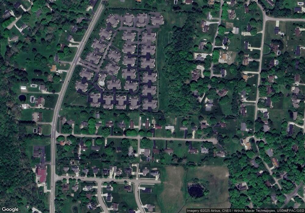
Map
Nearby Homes
- 1801 Pleasantview Dr NE
- 715 Sherman Bluff Way Unit 14715
- 1916 Country Place
- 1700 Rosewood Dr NE
- 2149 Pleasantview Dr NE
- 173 Lakeview Dr NE
- 1189 Ridge Rd NE
- 1799 Declaration Dr W
- 0 Declaration Dr W Unit 219044159
- 0 Old Millersport Rd NE Unit Lot 10 225033491
- 0 Old Millersport Rd NE Unit 225010386
- 0 Old Millersport Rd NE Unit Tract 8 224028101
- 1760 Rainbow Dr NE
- 2444 Sheridan Dr
- 1523 Fuller Ct
- 1669 Lexington Dr
- 534 Overlook Dr NE
- 0 Tschopp Rd NE Unit Lot 33 225027324
- 0 Tschopp Rd NE Unit Lot 17 225027320
- 980 Coonpath Rd NE
- 2216 William T Cir
- 2210 William T Cir Unit 82210
- 2212 William T Cir Unit 82212
- 2204 William T Cir Unit 92204
- 2200 William T Cir Unit 92200
- 2222 William T Cir Unit 72222
- 2206 William T Cir
- 2202 William T Cir Unit 92202
- 826 Carpico Dr NE
- 2228 William T Cir Unit 72228
- 2224 William T Cir Unit 72224
- 870 Carpico Dr NE
- 2221 William T Cir
- 2196 William T Cir Unit 11219
- 804 Carpico Dr NE
- 2192 William T Cir
- 2223 William T Cir
- 2236 William T Cir Unit 62236
- 2232 William T Cir
- 2225 William T Cir