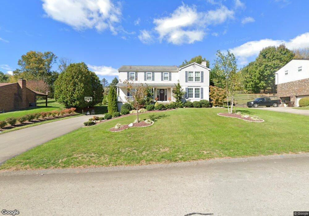
2214 Woodmont Dr Export, PA 15632
Estimated Value: $130,951 - $447,000
--
Bed
--
Bath
2,388
Sq Ft
$148/Sq Ft
Est. Value
About This Home
This home is located at 2214 Woodmont Dr, Export, PA 15632 and is currently estimated at $354,488, approximately $148 per square foot. 2214 Woodmont Dr is a home located in Westmoreland County with nearby schools including Franklin Regional Senior High School and Mother of Sorrows School.
Ownership History
Date
Name
Owned For
Owner Type
Purchase Details
Closed on
Dec 14, 2007
Sold by
Bullock Patricia A
Bought by
Rok Matthew J and Rok Nicole A
Current Estimated Value
Home Financials for this Owner
Home Financials are based on the most recent Mortgage that was taken out on this home.
Original Mortgage
$140,000
Outstanding Balance
$88,614
Interest Rate
6.3%
Mortgage Type
Purchase Money Mortgage
Estimated Equity
$265,874
Purchase Details
Closed on
Jan 7, 2003
Sold by
Bullock Richard B and Bullock Patricia A
Bought by
Bullock Patricia A
Create a Home Valuation Report for This Property
The Home Valuation Report is an in-depth analysis detailing your home's value as well as a comparison with similar homes in the area
Home Values in the Area
Average Home Value in this Area
Purchase History
| Date | Buyer | Sale Price | Title Company |
|---|---|---|---|
| Rok Matthew J | $210,000 | None Available | |
| Bullock Patricia A | -- | -- |
Source: Public Records
Mortgage History
| Date | Status | Borrower | Loan Amount |
|---|---|---|---|
| Open | Rok Matthew J | $140,000 |
Source: Public Records
Tax History Compared to Growth
Tax History
| Year | Tax Paid | Tax Assessment Tax Assessment Total Assessment is a certain percentage of the fair market value that is determined by local assessors to be the total taxable value of land and additions on the property. | Land | Improvement |
|---|---|---|---|---|
| 2025 | $6,102 | $40,040 | $7,420 | $32,620 |
| 2024 | $5,962 | $40,040 | $7,420 | $32,620 |
| 2023 | $5,602 | $40,040 | $7,420 | $32,620 |
| 2022 | $5,491 | $40,040 | $7,420 | $32,620 |
| 2021 | $5,371 | $40,040 | $7,420 | $32,620 |
| 2020 | $5,269 | $40,040 | $7,420 | $32,620 |
| 2019 | $5,161 | $39,820 | $7,420 | $32,400 |
| 2018 | $5,044 | $39,820 | $7,420 | $32,400 |
| 2017 | $4,939 | $39,820 | $7,420 | $32,400 |
| 2016 | $4,840 | $39,820 | $7,420 | $32,400 |
| 2015 | $4,840 | $39,820 | $7,420 | $32,400 |
| 2014 | -- | $39,820 | $7,420 | $32,400 |
Source: Public Records
Map
Nearby Homes
- 5866 Claridge Rd
- 5915 Oak Hill Ct
- 5812 Torrance Dr
- 5800 Torrance Dr
- 1 Quail Ct
- 1316 S Valley Dr
- 2350 Mount Vernon Ave
- 309 Jefferson St
- 275 Jefferson St
- 6014 Brookside Dr
- 2667 Puckety Dr
- 5801 Lincoln Ave
- 1002 Black Sands Dr
- 1001 General Forbes Rd
- 5920 Lee Ave
- 2903 Italy Rd
- 5000 Augusta Ln
- 4000 Saint Andrews Ct
- 2001 Blackthorne Dr
- 1054 Black Sands Dr
- 2212 Woodmont Dr
- 2216 Woodmont Dr
- 2210 Woodmont Dr
- 5902 Graybrook Dr
- 2209 Manordale Dr
- 2207 Manordale Dr
- 2218 Woodmont Dr
- 2211 Manordale Dr
- 2208 Woodmont Dr
- 2205 Manordale Dr
- 5904 Graybrook Dr
- 2215 Woodmont Dr
- 5901 Graybrook Dr
- 2206 Woodmont Dr
- 2209 Woodmont Dr
- 2203 Manordale Dr
- 2213 Manordale Dr
- 2220 Woodmont Dr
- 2217 Woodmont Dr
- 5906 Graybrook Dr