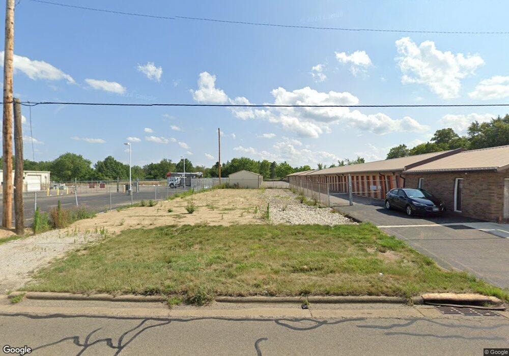
22143 State Route 62 Alliance, OH 44601
Estimated Value: $80,702
2
Beds
1
Bath
672
Sq Ft
$120/Sq Ft
Est. Value
About This Home
This home is located at 22143 State Route 62, Alliance, OH 44601 and is currently priced at $80,702, approximately $120 per square foot. 22143 State Route 62 is a home located in Columbiana County with nearby schools including Alliance Elementary School at Rockhill, Alliance Intermediate School at Northside, and Alliance Middle School.
Ownership History
Date
Name
Owned For
Owner Type
Purchase Details
Closed on
Oct 8, 2003
Sold by
Pettit Reba F and Reba F Pettit Trust
Bought by
Arbaugh Ministorage Inc
Current Estimated Value
Create a Home Valuation Report for This Property
The Home Valuation Report is an in-depth analysis detailing your home's value as well as a comparison with similar homes in the area
Home Values in the Area
Average Home Value in this Area
Purchase History
| Date | Buyer | Sale Price | Title Company |
|---|---|---|---|
| Arbaugh Ministorage Inc | $36,500 | -- |
Source: Public Records
Tax History Compared to Growth
Tax History
| Year | Tax Paid | Tax Assessment Tax Assessment Total Assessment is a certain percentage of the fair market value that is determined by local assessors to be the total taxable value of land and additions on the property. | Land | Improvement |
|---|---|---|---|---|
| 2024 | $2,205 | $51,490 | $9,910 | $41,580 |
| 2023 | $2,644 | $51,490 | $9,910 | $41,580 |
| 2022 | $2,835 | $60,700 | $9,910 | $50,790 |
| 2021 | $2,285 | $53,350 | $9,910 | $43,440 |
| 2020 | $2,988 | $53,350 | $9,910 | $43,440 |
| 2019 | $2,763 | $53,350 | $9,910 | $43,440 |
| 2018 | $2,374 | $53,350 | $9,910 | $43,440 |
| 2017 | $3,069 | $53,350 | $9,910 | $43,440 |
| 2016 | $3,081 | $53,240 | $9,910 | $43,330 |
| 2015 | $3,117 | $53,240 | $9,910 | $43,330 |
| 2014 | $2,998 | $51,670 | $9,910 | $41,760 |
Source: Public Records
Map
Nearby Homes
- 853 Fairway Dr
- 1233 Woodland Ave
- 815 Grace St
- 2376 S Seneca Ave
- 2218 S Freedom Ave
- 1846 S Freedom Ave
- 729 Waugh St
- 2408 S Linden Ave
- 555 E Milton St
- 390 E College St
- 317 E State St
- 551 South St
- 2460 S Arch Ave
- 1044 S Liberty Ave
- 814 Milner St
- 1437 S Linden Ave
- 831 Wade Ave
- 236 E Milton St
- 22360 Margaret Ln
- 1005 S Freedom Ave
- 20817 State Route 173
- 22724 Harrisburg Westville Rd
- 22269 State Route 62
- 22269 State Route 62
- 2140 S Mahoning Ave
- 22285 U S 62
- 22309 State Route 62
- 1490 E State St
- 22329 State Route 62
- 0 S Mahoning Ave
- 22343 State Route 62
- 1668 S Mahoning Ave
- 2500 S Mahoning Ave
- 201 Homeworth Rd
- 0 Mahoning Ave NE Unit 5056078
- 0 Mahoning Ave NE Unit 4364897
- 2530 S Mahoning Ave
- 2560 S Mahoning Ave
- 2010 Judy Rae Ave
- 2010 Judy Rae Ave