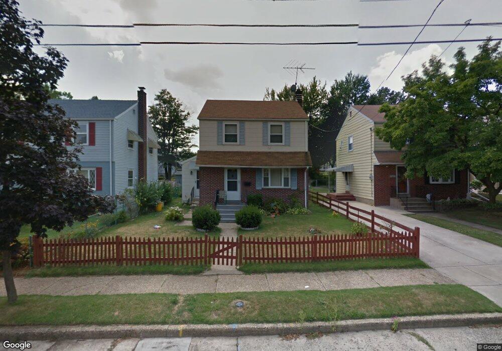
2215 Gross Ave Pennsauken, NJ 08110
Estimated Value: $201,315 - $315,000
--
Bed
--
Bath
1,190
Sq Ft
$232/Sq Ft
Est. Value
About This Home
This home is located at 2215 Gross Ave, Pennsauken, NJ 08110 and is currently estimated at $275,579, approximately $231 per square foot. 2215 Gross Ave is a home located in Camden County with nearby schools including Pennsauken High School, St. Peter Elementary School, and St. Cecilia School.
Ownership History
Date
Name
Owned For
Owner Type
Purchase Details
Closed on
Jun 19, 1998
Sold by
Muzio Antonio M
Bought by
Moore Sharon E Mcbean and Grace Natalie L
Current Estimated Value
Home Financials for this Owner
Home Financials are based on the most recent Mortgage that was taken out on this home.
Original Mortgage
$79,000
Outstanding Balance
$15,708
Interest Rate
6.98%
Mortgage Type
FHA
Estimated Equity
$259,871
Create a Home Valuation Report for This Property
The Home Valuation Report is an in-depth analysis detailing your home's value as well as a comparison with similar homes in the area
Home Values in the Area
Average Home Value in this Area
Purchase History
| Date | Buyer | Sale Price | Title Company |
|---|---|---|---|
| Moore Sharon E Mcbean | $79,000 | -- |
Source: Public Records
Mortgage History
| Date | Status | Borrower | Loan Amount |
|---|---|---|---|
| Open | Moore Sharon E Mcbean | $79,000 |
Source: Public Records
Tax History Compared to Growth
Tax History
| Year | Tax Paid | Tax Assessment Tax Assessment Total Assessment is a certain percentage of the fair market value that is determined by local assessors to be the total taxable value of land and additions on the property. | Land | Improvement |
|---|---|---|---|---|
| 2025 | $5,727 | $233,800 | $47,300 | $186,500 |
| 2024 | $5,617 | $131,600 | $37,800 | $93,800 |
| 2023 | $5,617 | $131,600 | $37,800 | $93,800 |
| 2022 | $5,078 | $131,600 | $37,800 | $93,800 |
| 2021 | $5,215 | $131,600 | $37,800 | $93,800 |
| 2020 | $4,672 | $131,600 | $37,800 | $93,800 |
| 2019 | $4,726 | $131,600 | $37,800 | $93,800 |
| 2018 | $4,751 | $131,600 | $37,800 | $93,800 |
| 2017 | $4,760 | $131,600 | $37,800 | $93,800 |
| 2016 | $4,674 | $131,600 | $37,800 | $93,800 |
| 2015 | $4,814 | $131,600 | $37,800 | $93,800 |
| 2014 | $4,800 | $86,300 | $18,400 | $67,900 |
Source: Public Records
Map
Nearby Homes
- 2254 Hollinshed Ave
- 2217 Hillcrest Ave
- 5507 Wayne Ave
- 2154 Browning Rd
- 1765 Hillcrest Ave
- 3204 Merchantville Ave
- 2117 Penn St
- 6134 Grant Ave
- 6151 Harvey Ave
- 4747 Westfield Ave
- 5745 Cedar Ave
- 1506 Hollinshed Ave
- 1666 Browning Rd
- 6116 Rogers Ave
- 2269 Marlon Ave
- 5532 Whitman Terrace
- 1828 47th St
- 2446 46th St
- 3300 Springfield Ave
- 3241 N 48th St
- 2221 Gross Ave
- 2209 Gross Ave
- 2227 Gross Ave
- 2203 Gross Ave
- 2233 Gross Ave
- 2210 Merchantville Ave
- 2212 Merchantville Ave
- 5702 Camden Ave
- 2220 Merchantville Ave
- 2239 Gross Ave
- 2222 Merchantville Ave
- 2218 Gross Ave
- 2210 Gross Ave
- 2228 Merchantville Ave
- 2208 Gross Ave
- 2224 Gross Ave
- 2230 Merchantville Ave
- 2243 Gross Ave
- 2230 Gross Ave
- 2232 Merchantville Ave