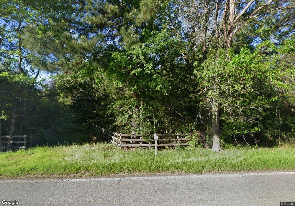
2215 Highway 550 NW Wesson, MS 39191
Estimated Value: $328,000 - $330,260
--
Bed
--
Bath
1,679
Sq Ft
$196/Sq Ft
Est. Value
About This Home
This home is located at 2215 Highway 550 NW, Wesson, MS 39191 and is currently estimated at $329,130, approximately $196 per square foot. 2215 Highway 550 NW is a home with nearby schools including Loyd Star School.
Ownership History
Date
Name
Owned For
Owner Type
Purchase Details
Closed on
Dec 19, 2024
Sold by
Chatelain Burton and Chatelain Sharon
Bought by
Bar J Land And Cattle Llc
Current Estimated Value
Home Financials for this Owner
Home Financials are based on the most recent Mortgage that was taken out on this home.
Original Mortgage
$90,000
Outstanding Balance
$43,429
Interest Rate
6.79%
Mortgage Type
Construction
Estimated Equity
$285,701
Purchase Details
Closed on
Jul 14, 2011
Sold by
Rbr Industries Llc
Bought by
Chatelain Burton and Chatelain Sharon
Create a Home Valuation Report for This Property
The Home Valuation Report is an in-depth analysis detailing your home's value as well as a comparison with similar homes in the area
Home Values in the Area
Average Home Value in this Area
Purchase History
| Date | Buyer | Sale Price | Title Company |
|---|---|---|---|
| Bar J Land And Cattle Llc | -- | None Listed On Document | |
| Bar J Land And Cattle Llc | -- | None Listed On Document | |
| Chatelain Burton | -- | -- |
Source: Public Records
Mortgage History
| Date | Status | Borrower | Loan Amount |
|---|---|---|---|
| Open | Bar J Land And Cattle Llc | $90,000 | |
| Closed | Bar J Land And Cattle Llc | $90,000 |
Source: Public Records
Tax History Compared to Growth
Tax History
| Year | Tax Paid | Tax Assessment Tax Assessment Total Assessment is a certain percentage of the fair market value that is determined by local assessors to be the total taxable value of land and additions on the property. | Land | Improvement |
|---|---|---|---|---|
| 2024 | $32 | $296 | $0 | $0 |
| 2023 | $32 | $329 | $0 | $0 |
| 2022 | $35 | $317 | $0 | $0 |
| 2021 | $37 | $329 | $0 | $0 |
| 2020 | $40 | $351 | $0 | $0 |
| 2019 | $42 | $366 | $0 | $0 |
| 2018 | $42 | $380 | $0 | $0 |
| 2016 | $829 | $8,069 | $0 | $0 |
| 2015 | -- | $8,042 | $0 | $0 |
| 2014 | -- | $278 | $0 | $0 |
Source: Public Records
Map
Nearby Homes
- 2215 Hwy 550
- Arthur Dr NW
- 1919 Arthur Dr NW
- TBD Mississippi 550
- 3025 James Dr NW
- 3103 Durr-Case Trail NW
- 00 Toy Dr NW
- 3050 James Dr NW
- 2657 James Dr NW
- 00 Oil Field Ln NW
- 986 Dunn Ratcliff Rd NW
- Old Red Star Dr NW
- TBD Poplar Ridge Ln NW
- 0 John I Hay Rd
- 1027 Posey Dr NW
- 1378 Zetus Rd NW
- 00006 Old Red Star Rd
- 057 Wesson Game Ln
- 1965 Norman Trail NW
- 0 Norman Trail NW
- 2215 Mississippi 550
- 2235 Mississippi 550
- 2216 Highway 550 NW
- 2200 Highway 550 NW
- 2148 Highway 550 NW
- 2416 Ellzey Dr NW
- 2261 Highway 550 NW
- 2411 Ellzey Dr NW
- 2258 Highway 550 NW
- 2258 Hwy 550nw
- 2118 Bouie Mill Rd NW
- 2450 Ellzey Dr NW
- 2136 Bouie Mill Rd NW
- 2452 Ellzey Dr NW
- 2301 Highway 550 NW
- 2113 Highway 550 NW
- 2103 Highway 550 NW
- 2306 Bouie Mill Rd NW
- 2339 Highway 550 NW
- 2256 Bouie Mill Rd NW
